 Peddocks Island HLCT Walk – October 13, 2018
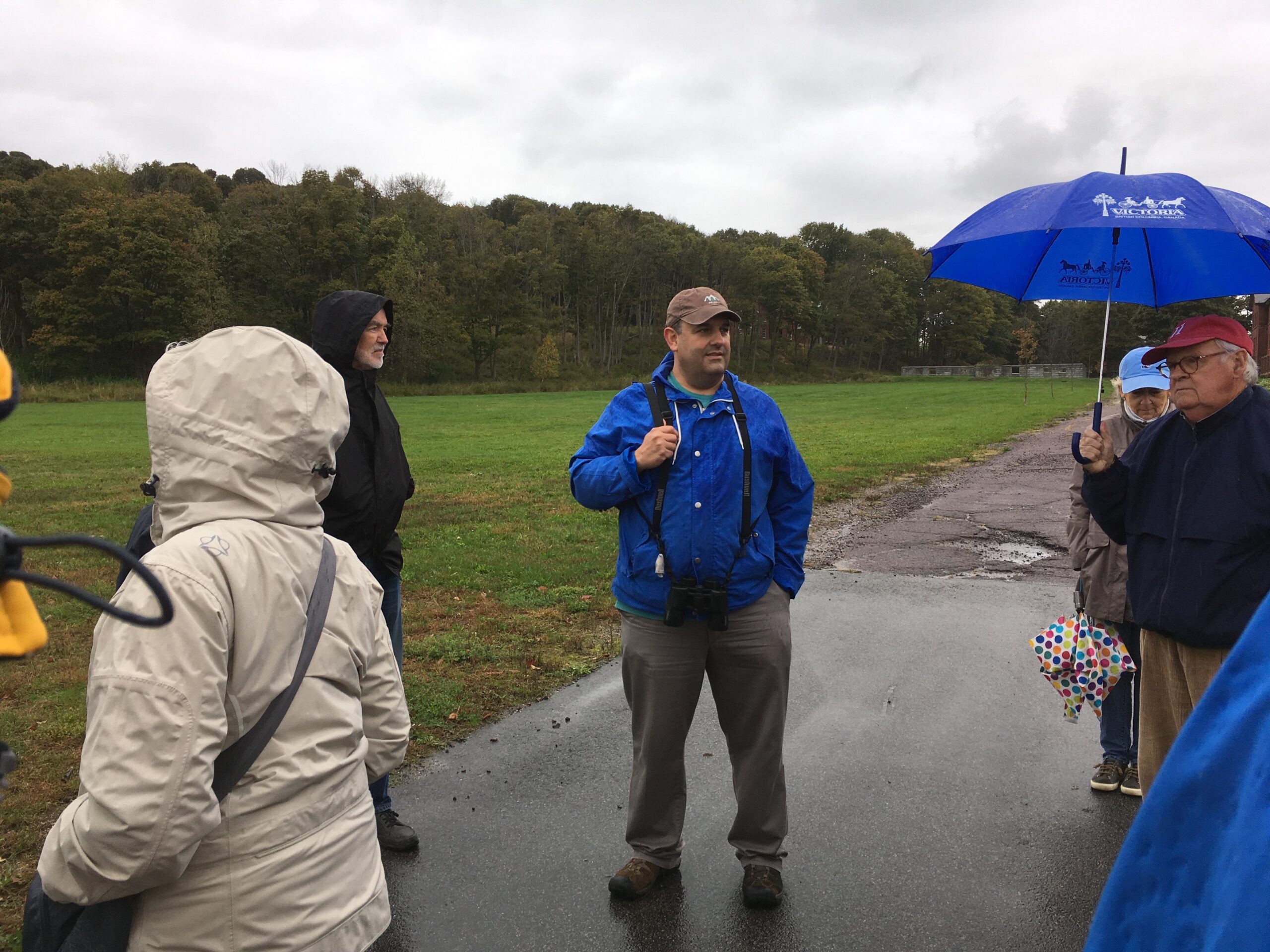
Thirty people boarded a Massachusetts Department of Conservation and Recreation (DCR) Boat at the Hingham Shipyard on a cold and rainy morning to enjoy the insights of guide John Galluzzo on a walking tour of Peddocks Island.
More Detailed 2018 Peddocks Island Walk Notes
(As reported by HLCT board member Don Kidston)
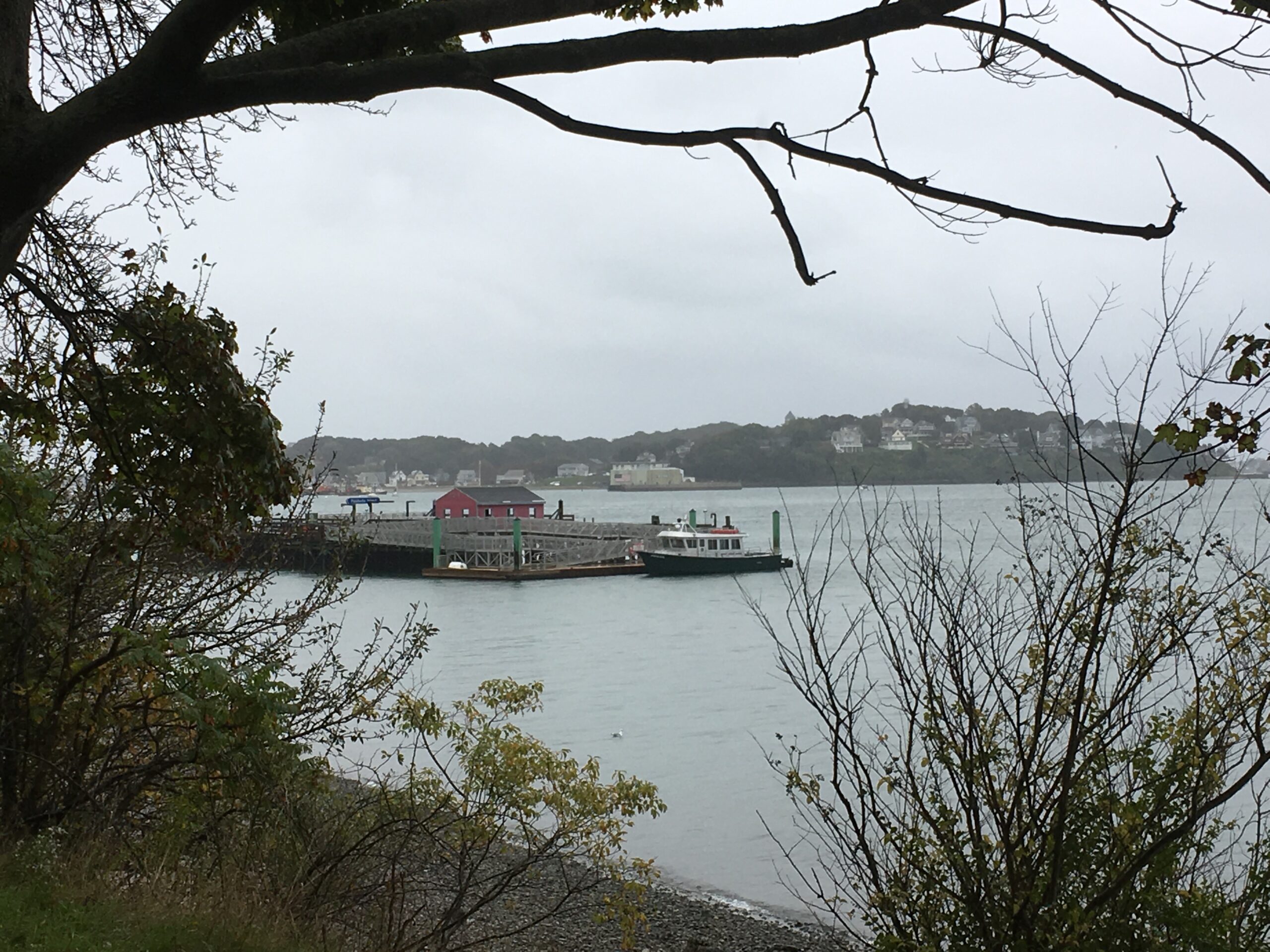
The boat ride, courtesy of DCR, began at the Hingham Shipyard at 9:30 and arrived at the Peddocks Island pier at approximately 9:45. After gathering at the Guardhouse, HLCT board member Don Kidston introduced Guide John Galluzzo. John, who grew up in Hingham and Hull, is a graduate of Hull High School just across the water from the Island. John has an extensive background in the history of the South Shore, Hull and Boston Harbor. He is author of more than 50 books, writes a weekly history column for the Hull Times, and a monthly column in South Shore Living Magazine. John also has worked for Mass Audubon Society and includes several books on parkland walks in his accomplishments.
Before beginning our walk, John provided background on the Island. He described how the island’s four heads — or drumlins — were formed about 11,000 years ago, during the Ice Age. As the ice melted, the oceans rose, turning drumlins into islands. On Peddocks the result was four headlands: East Head, Middle Head, West Head and Prince Head all connected by shallow strips of land or tombolos. At 184 acres, Peddocks is one of the largest, most diverse islands in the harbor. With the longest shoreline of any harbor island, the total acreage increases at low tide to 288.
John then presented human history in three sections: early contact, military and residential.
Early contact: John noted that John Smith visited the Island in 1614 as he explored the coast. In 1616 Natives, who lived on the island in summer and moved inland in winter, massacred French traders on the Island. In 1630, when Miles Standish established a trading post in Hull, the Island was used for farming and grazing sheep. Peddocks Island was named for early settler James Peddocks in the 1640s.
Military: Peddocks Island’s strategic location ensured its prominent military role in the 18th through the 20th century. During the American Revolutionary War, more than 600 militiamen were stationed on the island to guard against the return of British troops following their evacuation of Boston in 1776. Later, French troops—who, under General Lafayette, were supporting the colonists’ fight against the British—erected earthen works along the East Head’s cliff to guard their fleet anchored in Nantasket Roads, in 1778 and 1782.
Fort Andrews, named after Civil War General Leonard Andrews, was built on the island’s East Head (original structures built in 1904). It was active in harbor defense from 1904 to the end of World War II.
After the introduction to military history, we continued to explore the fort by walking to the Parade Ground near the Guard House. John told the story of John Erwin, a professional baseball player from Hull who organized the first “old timers” games on the parade ground in 1902 and 1903.
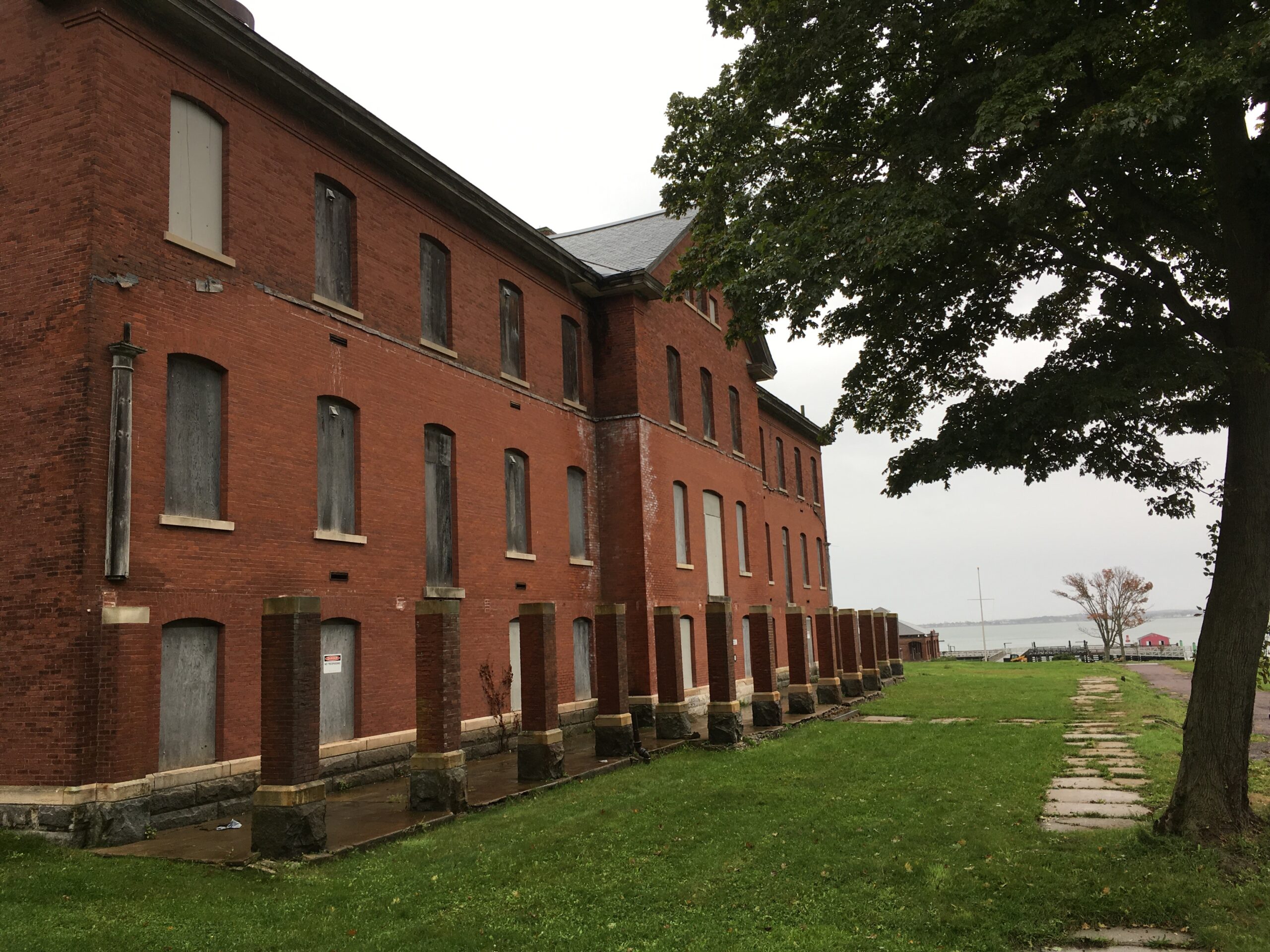
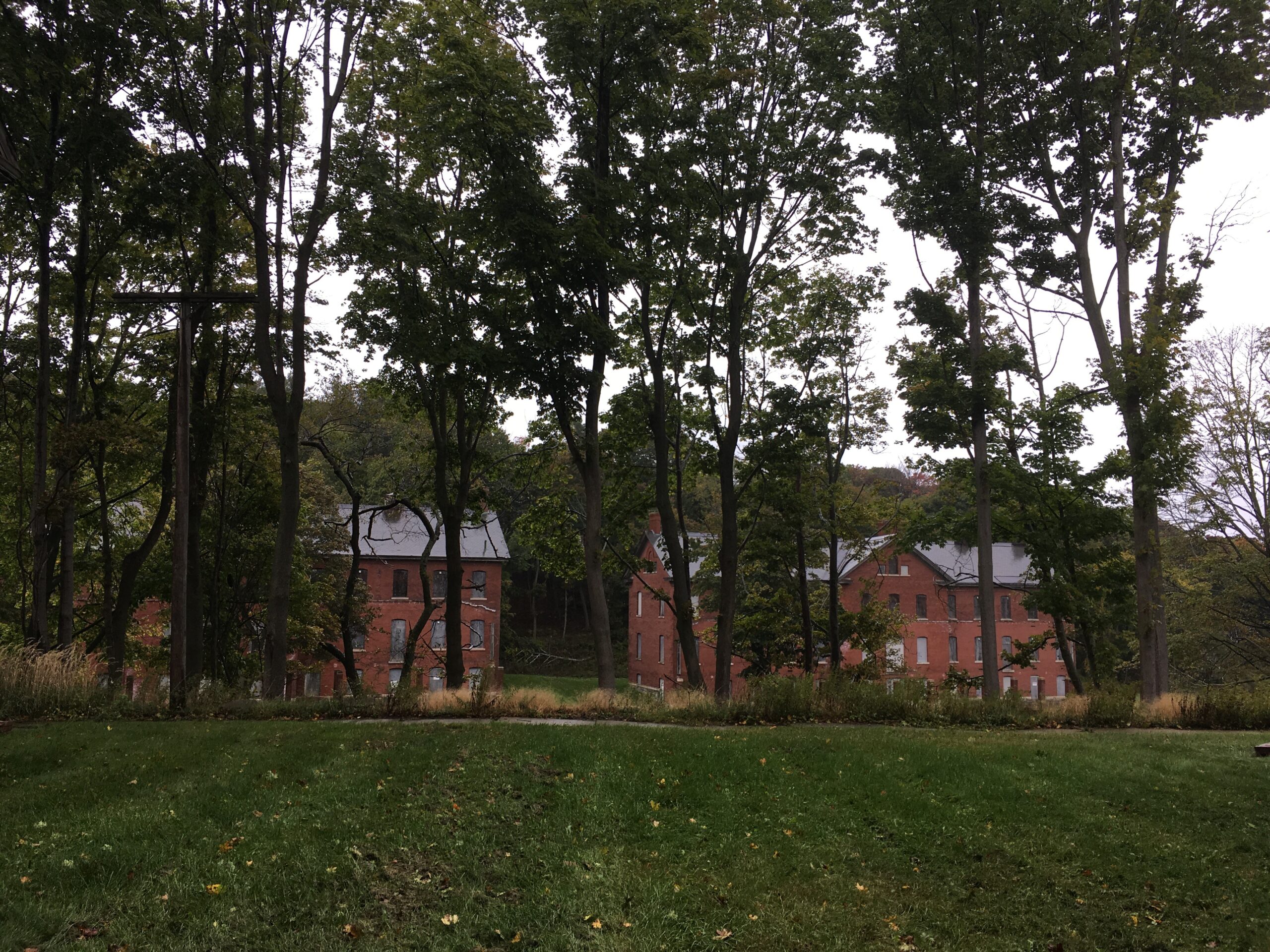
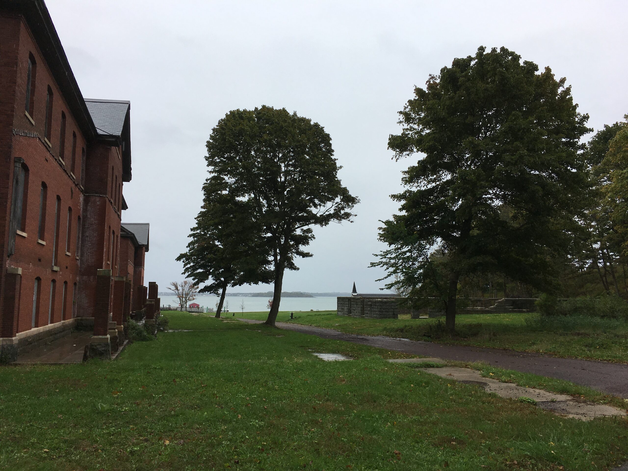
We continued the walk past the army’s recreation hall, barracks and gymnasium. John noted that the buildings were of the same design of those built at all other military bases of the time. They were of the Endicott Period (1888-1905) style of architecture. The building’s exterior, with granite foundations, brick walls and slate roofs, appears to be very well preserved.
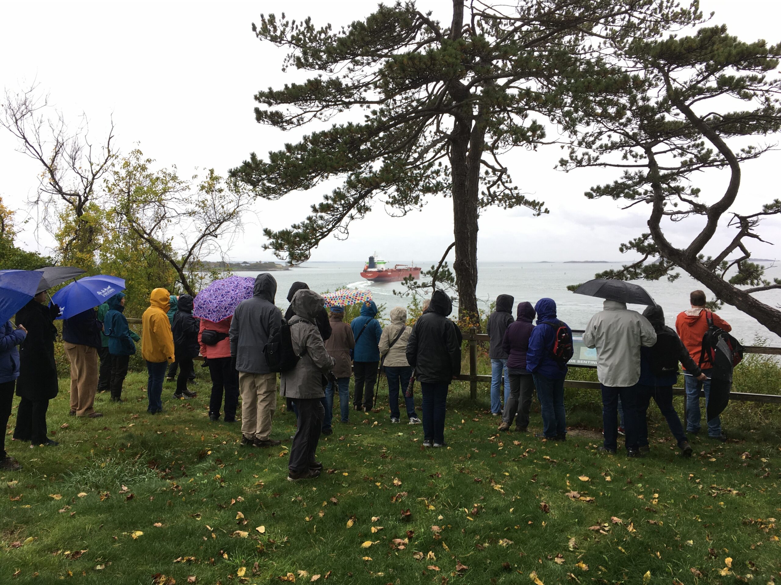
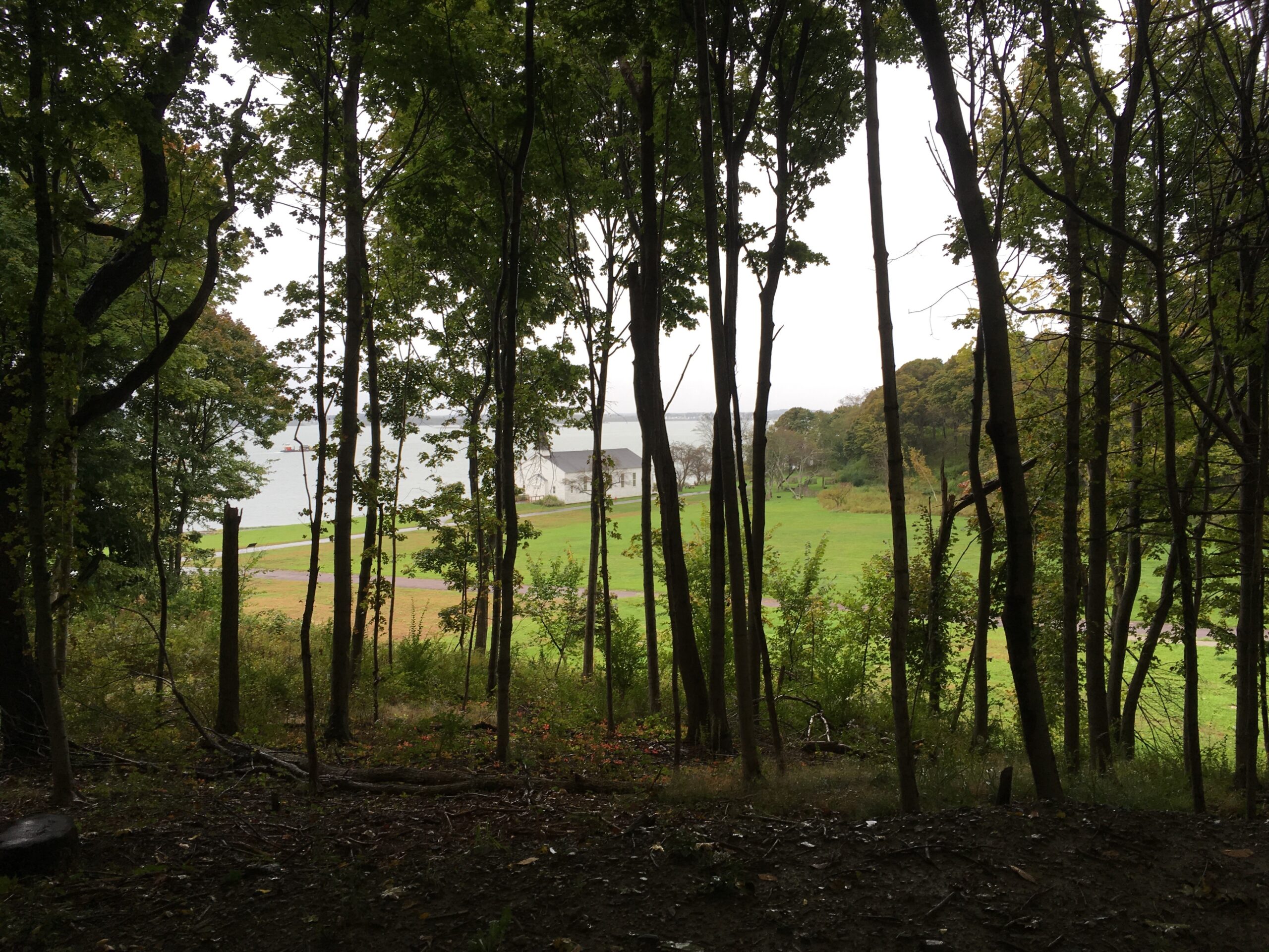
We then turned up a hill to a scenic overlook to view Nantasket Roads and Hull Gut. As we arrived, we were greeted by an unexpected view of a large tanker heading through Hull Gut on its way from the Fore River to the ocean. John noted that Nantasket Roads was the main shipping route into Boston’s Inner Harbor until Presidents Roads was dredged around 1900. John described the area as a dangerous place for boaters, particularly Hull Gut with its strong tides.
Views from the overlook also included Boston Light on Little Brewster, Fort Warren on Georges Island, and Pemberton Point. In the 1800s Pemberton Point was the site of the Pemberton Hotel which was popular when Hull was a major summer resort. Pemberton Point also has a pier serving boats from Boston. Nantasket railroad operated from Pemberton Point to Hingham from 1880 until 1932. In the early 1900s soldiers from the fort would boat across Hull Gut and take the train to Nantasket Beach and Paragon Park. Several yurts that are available for seasonal rental are sited near the overlook.
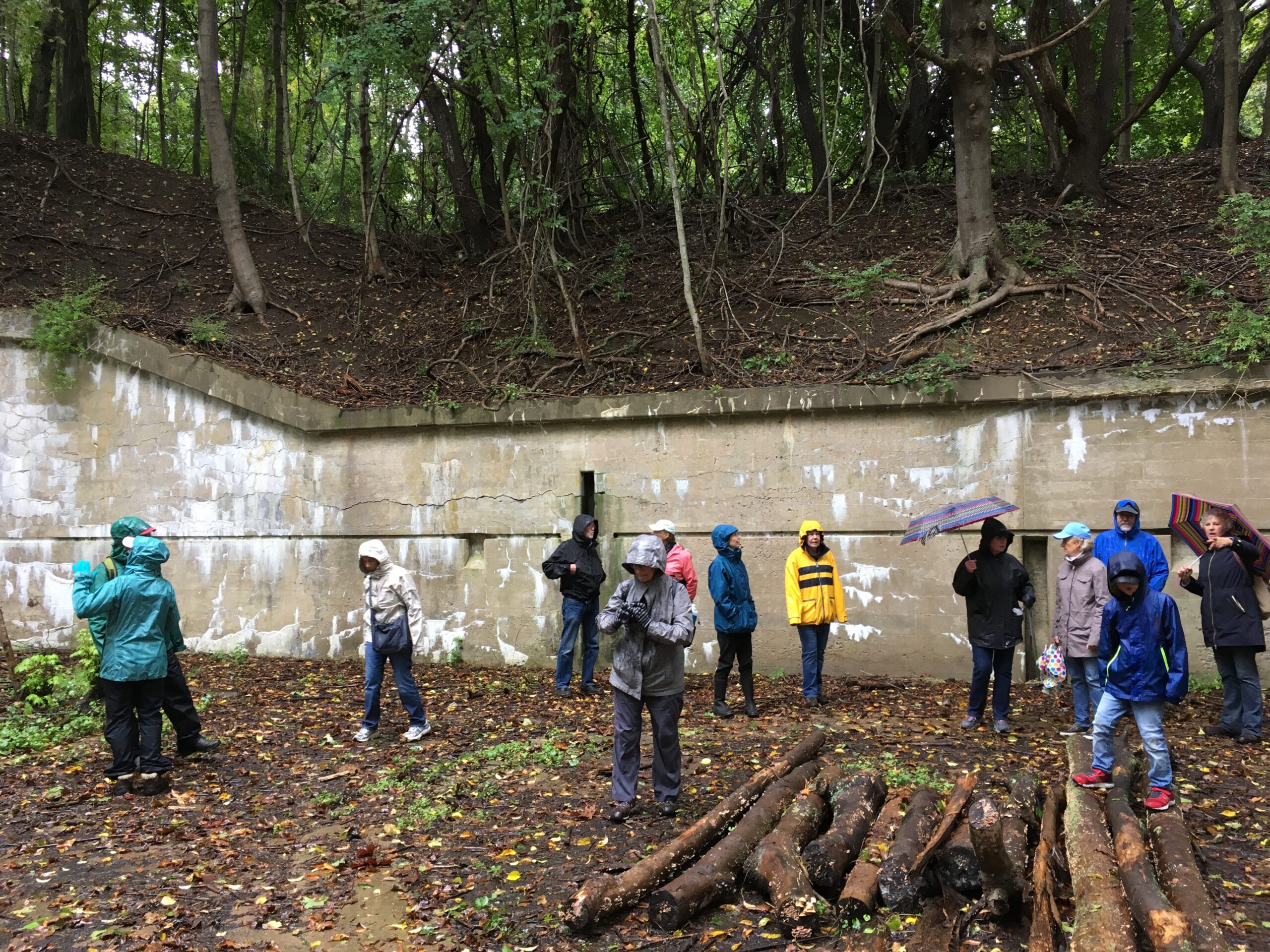
An observation tower was located by the overlook. The tower was used to spot enemy vessels and transmit their coordinates to the mortar batteries in a pit below. We continued to gun batteries at the base of the hill where they were protected from enemy attack. Upon receiving coordinates for enemy targets, crews would move the mortar mounts to correspond to the coordinates. The mortars could be fired to a range of 9 miles. John noted that the mortar batteries were largely out-of-date when they were built in 1905. Mortars were ineffective on steel hulls, which was the method of ship building at the time, although they could still damage wooden decks. The mortars were never used in military action.
We continued to a second scenic overlook with views of Long Island and the Boston skyline to the west. After we walked down from the overlook and continued up a drumlin trail. John noted that during WW II, the advances of military air craft reduced the need for protection from enemy navies. The fort was adapted for use as a training facility and POW camp for about 1,500 captured Italian soldiers. The POWs were very well treated and were helped by members of the local Italian-American Community. As a result, many Italian POWs emigrated to America after the war. John shared that his wife’s grandfather, one of the Italian POWs, returned to America, married his American wife and became a US citizen. Life at Fort Andrews during WW II is described in the book, Once Upon an Island written by Matilda Silvia.
The walkers passed by the quarters of NCOs and Hospital Stewards. At one time this hillside road also had several buildings that have been removed, including the Post Hospital and quarters for Officers, Bachelor Officers, Regimental COs, and the Post Commander.
Residential: As the road met a coastal side road at the bottom of the hill, John stopped to describe the history of houses on the Island. Many of today’s cottages on Peddocks were built on Long Island by Portuguese fisherman, and later were moved by boat to East Head on Peddocks Island. Most of the cottages were moved again to Middle Head on Peddocks. In the late 19th century, when the South Shore became a popular summer destination, The Island Inn operated near the Hull Gut shoreline on Middle Head. In 1970 when the Metropolitan District Commission (MDC), now incorporated into the MA Department of Conservation and Recreation (DCR), took Peddocks Island by eminent domain, they also acquired the land on which the cottages lie. Later the state and home owners came to an agreement that the home owner could lease the land the home was located on until their death. One of those homes is owned by Mike McDevitt, the owner of Jo’s Nautical Bar in Hull and the Miss Peddocks Island, a charter boat. John Galluzzo indicated that the McDevitt family placed the home in John’s name when he was a child, before the agreement with the state went into effect.
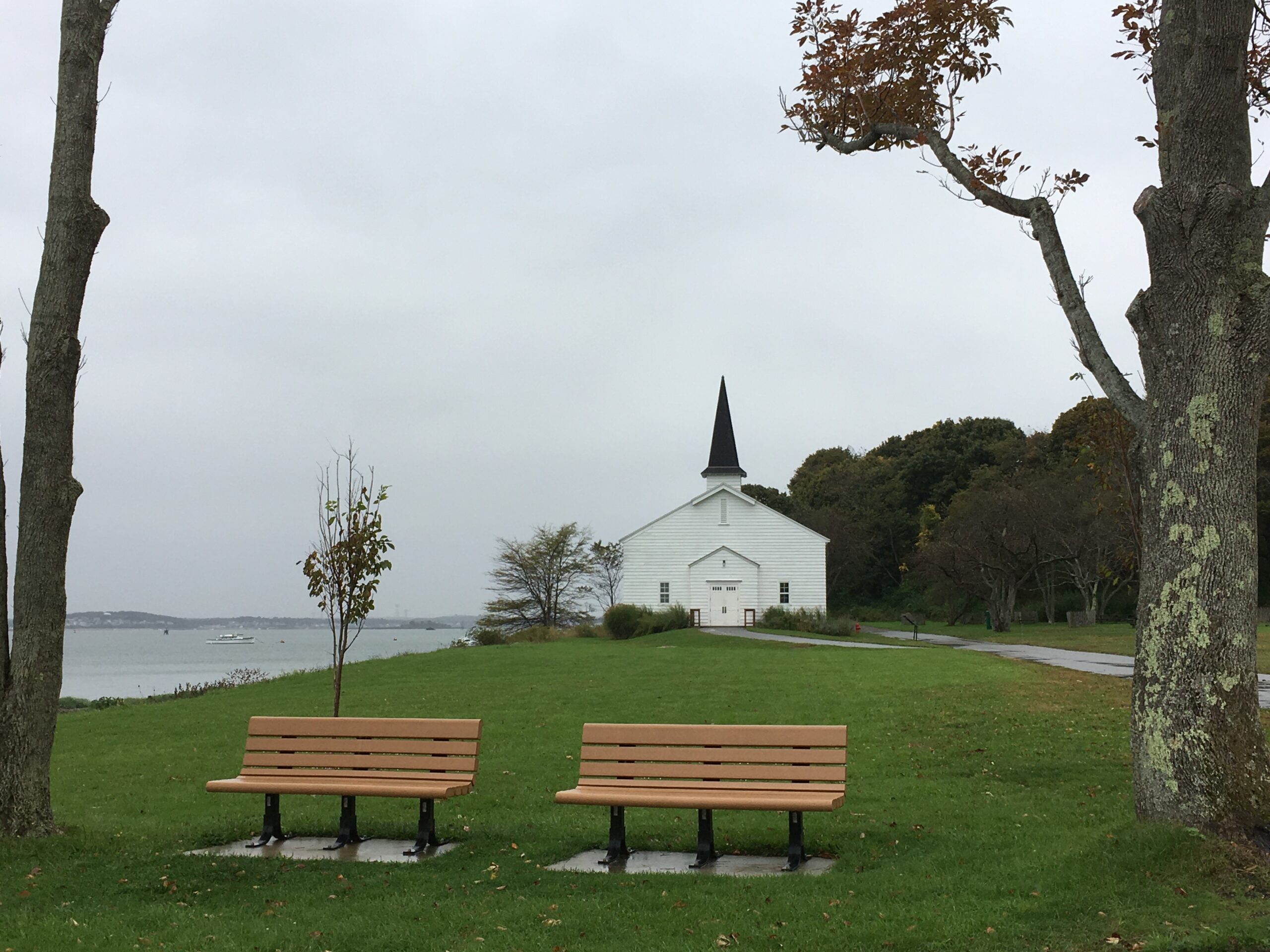
We completed our walk strolling past the base’s chapel. One of the tour group mentioned that the Italian POWs sang at the church services during WW II. In response to a question it was noted that the chapel can be reserved through DCR for private events such as wedding services.
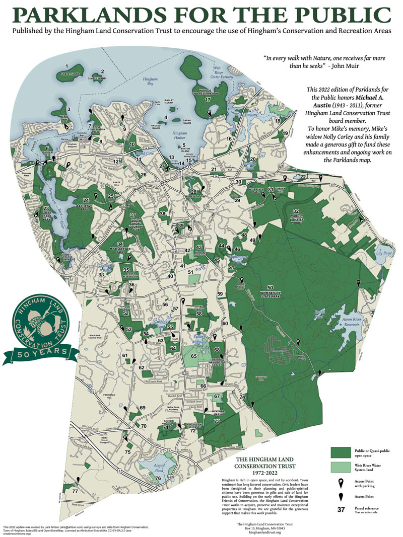
After our informative walk, we boarded the boat and were transported back to the Hingham Shipyard by DCR Staff. On route we thanked John Galluzzo for his excellent job guiding the walk and HLCT board members provided the guests with copies of the HLCT’s recently updated Parklands for the Public Map.
Click any image below to start a fullscreen slideshow.

