2018 Spring Walk at Aaron River Reservoir in Cohasset

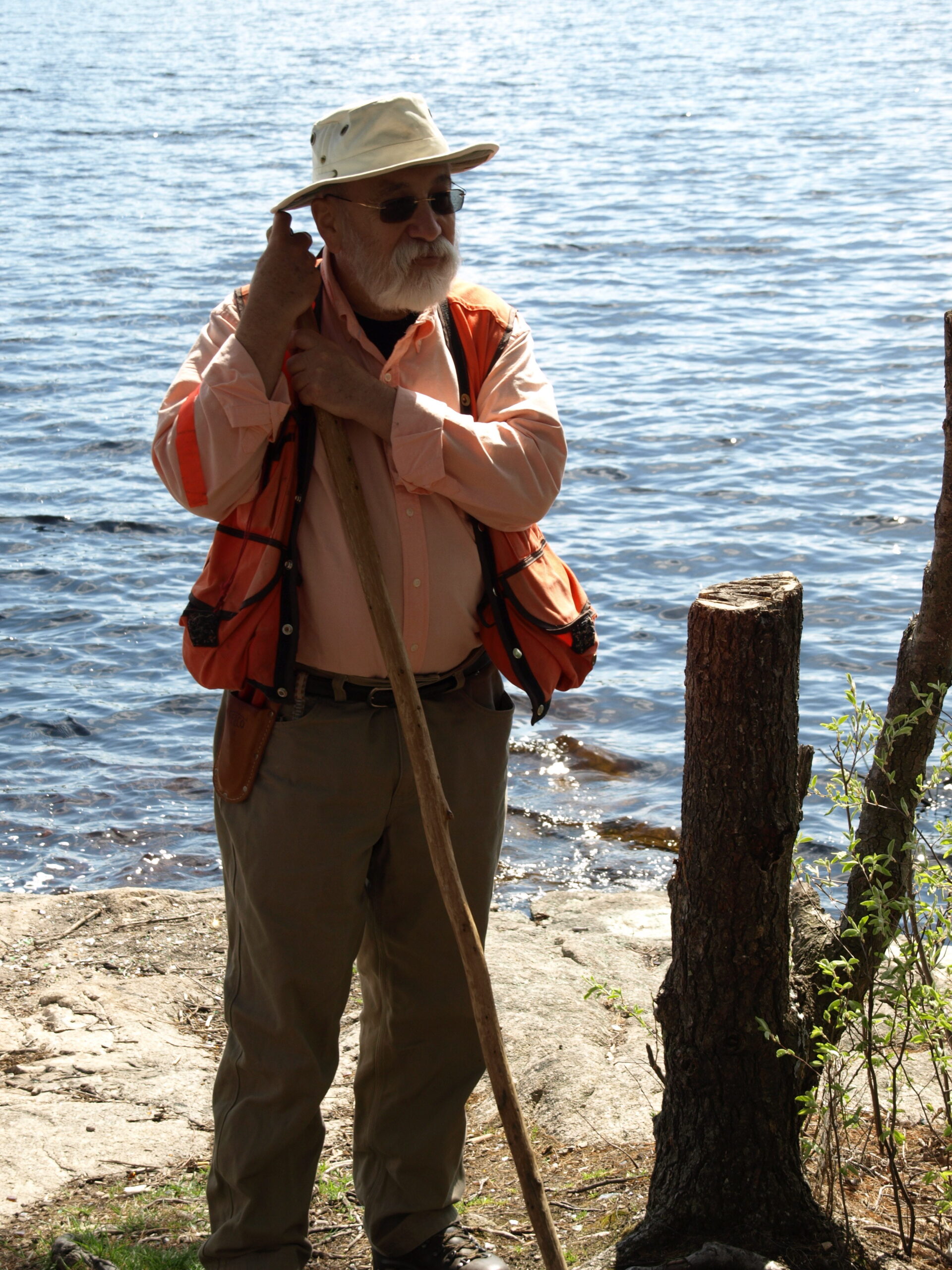
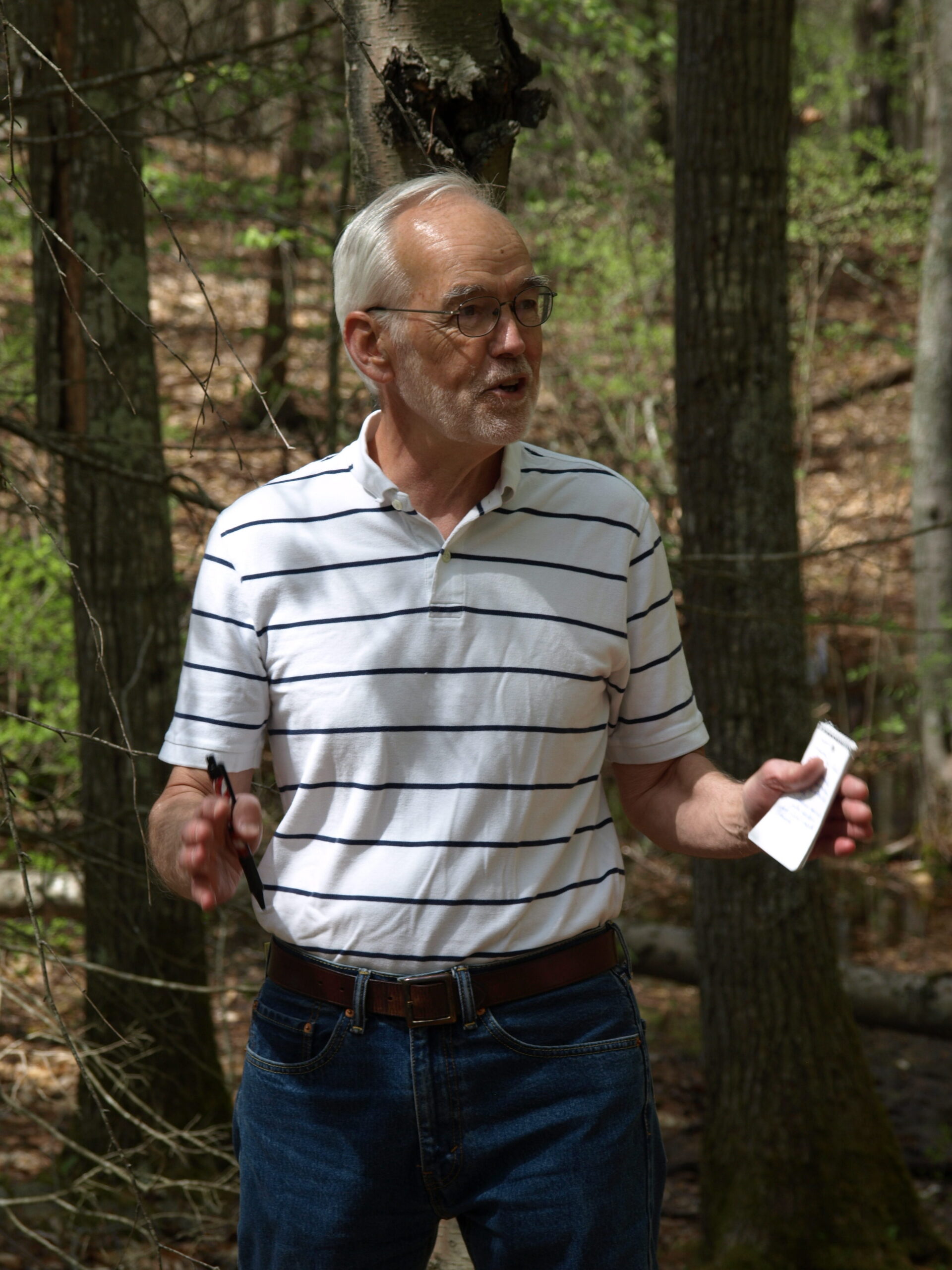
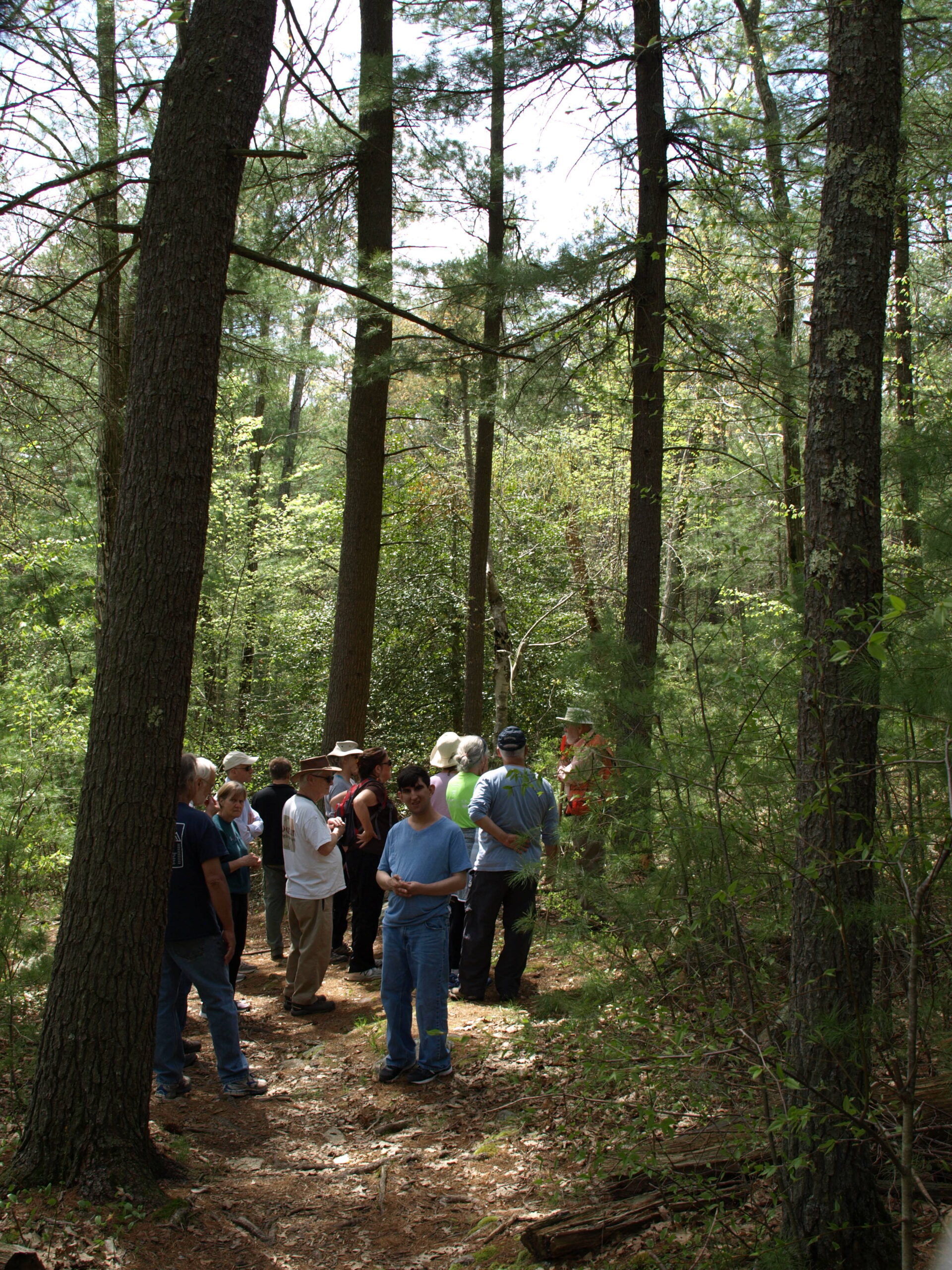
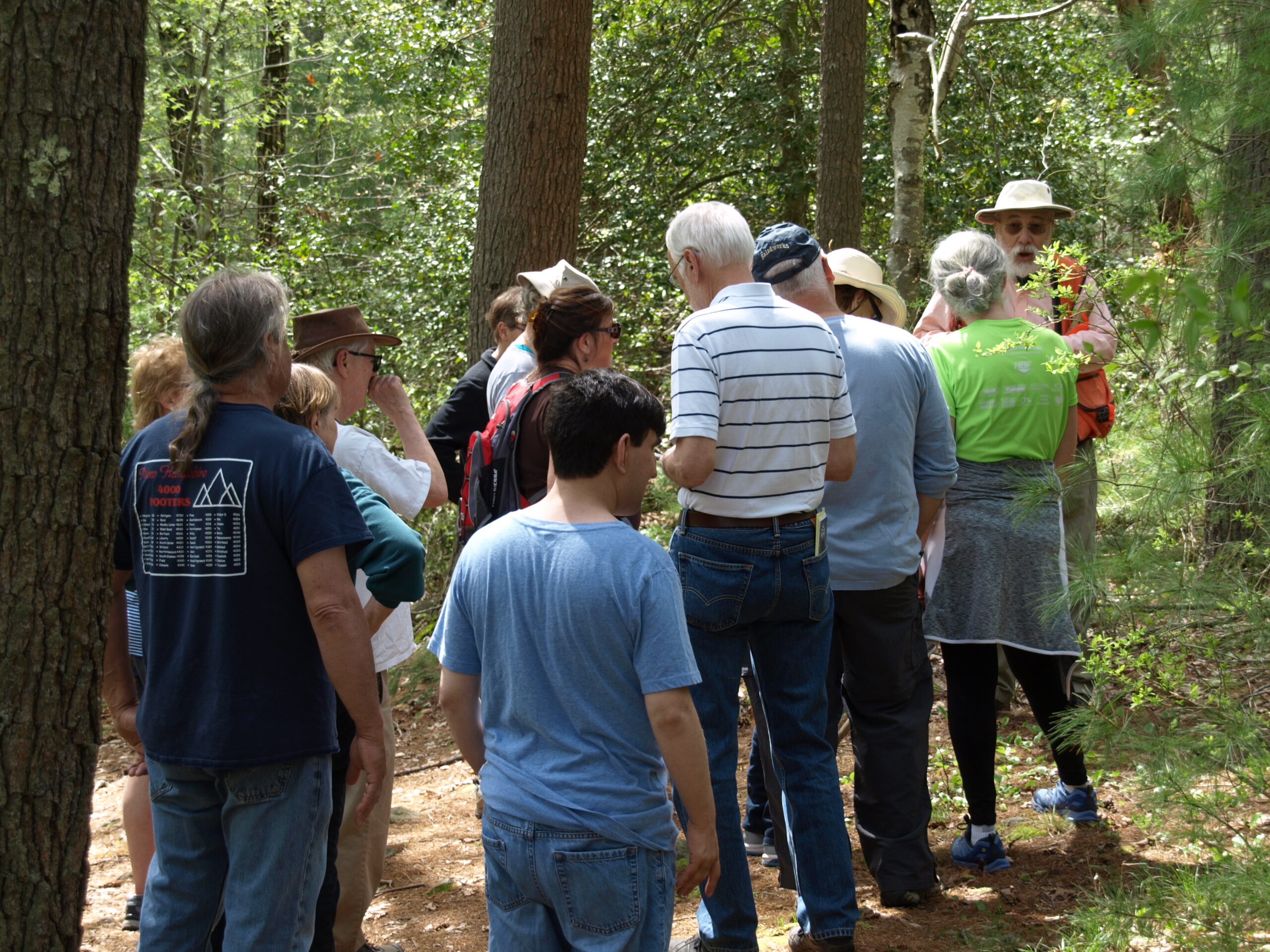
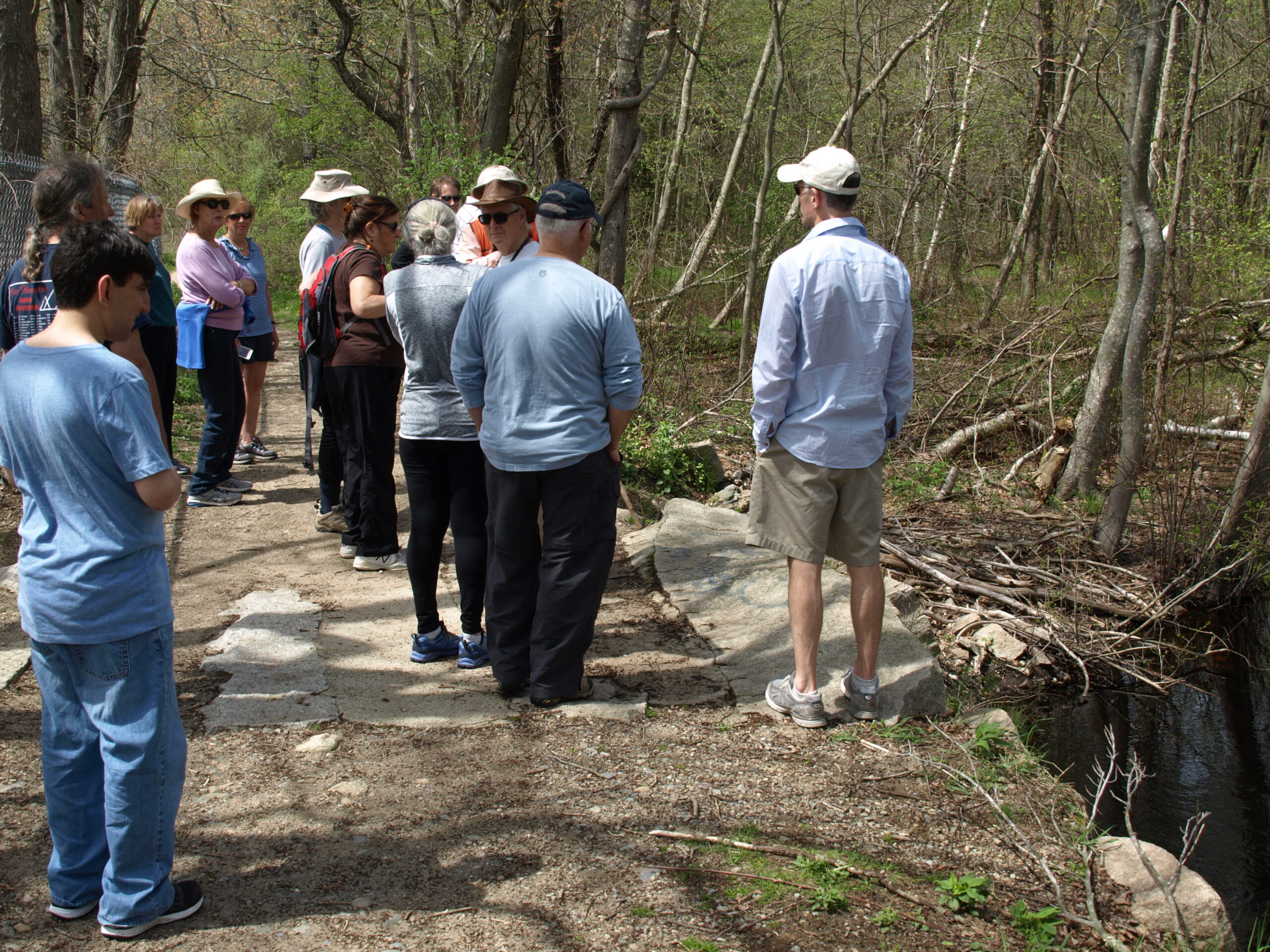
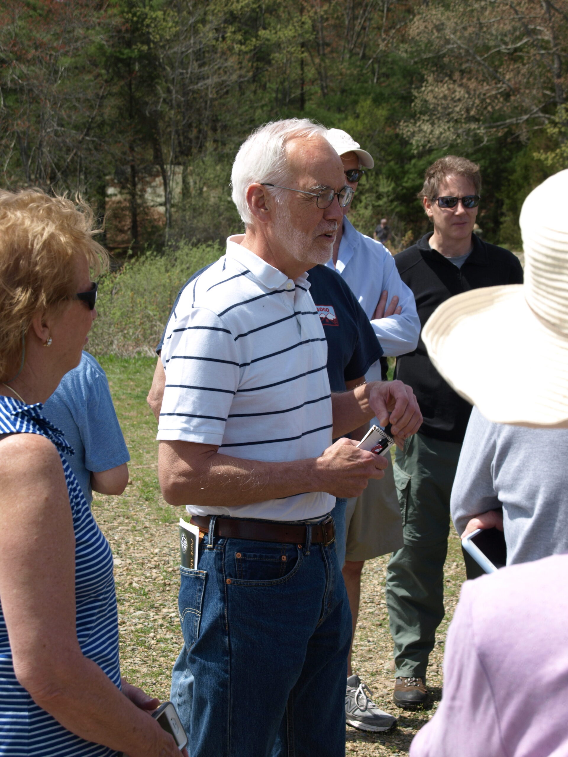
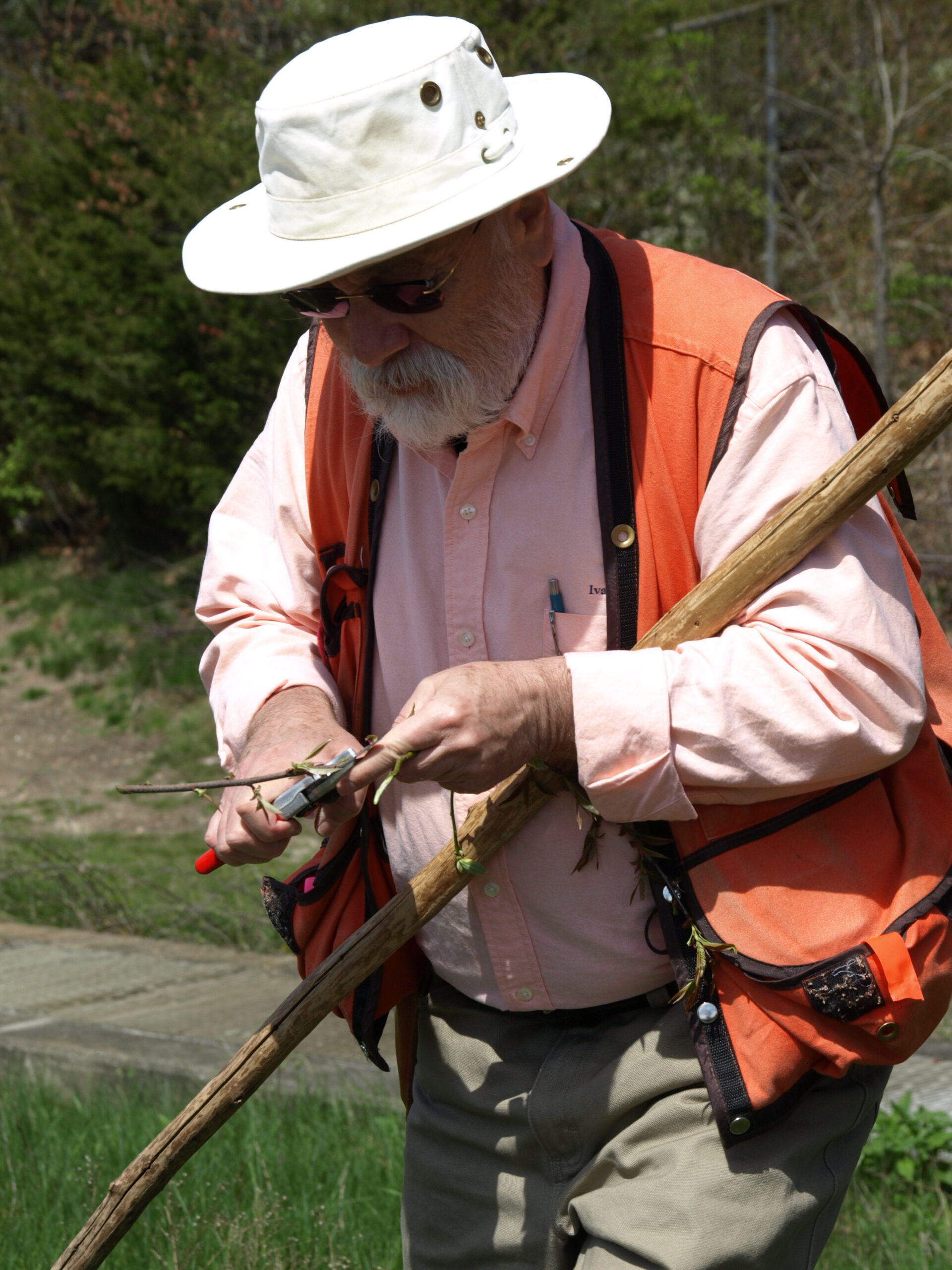
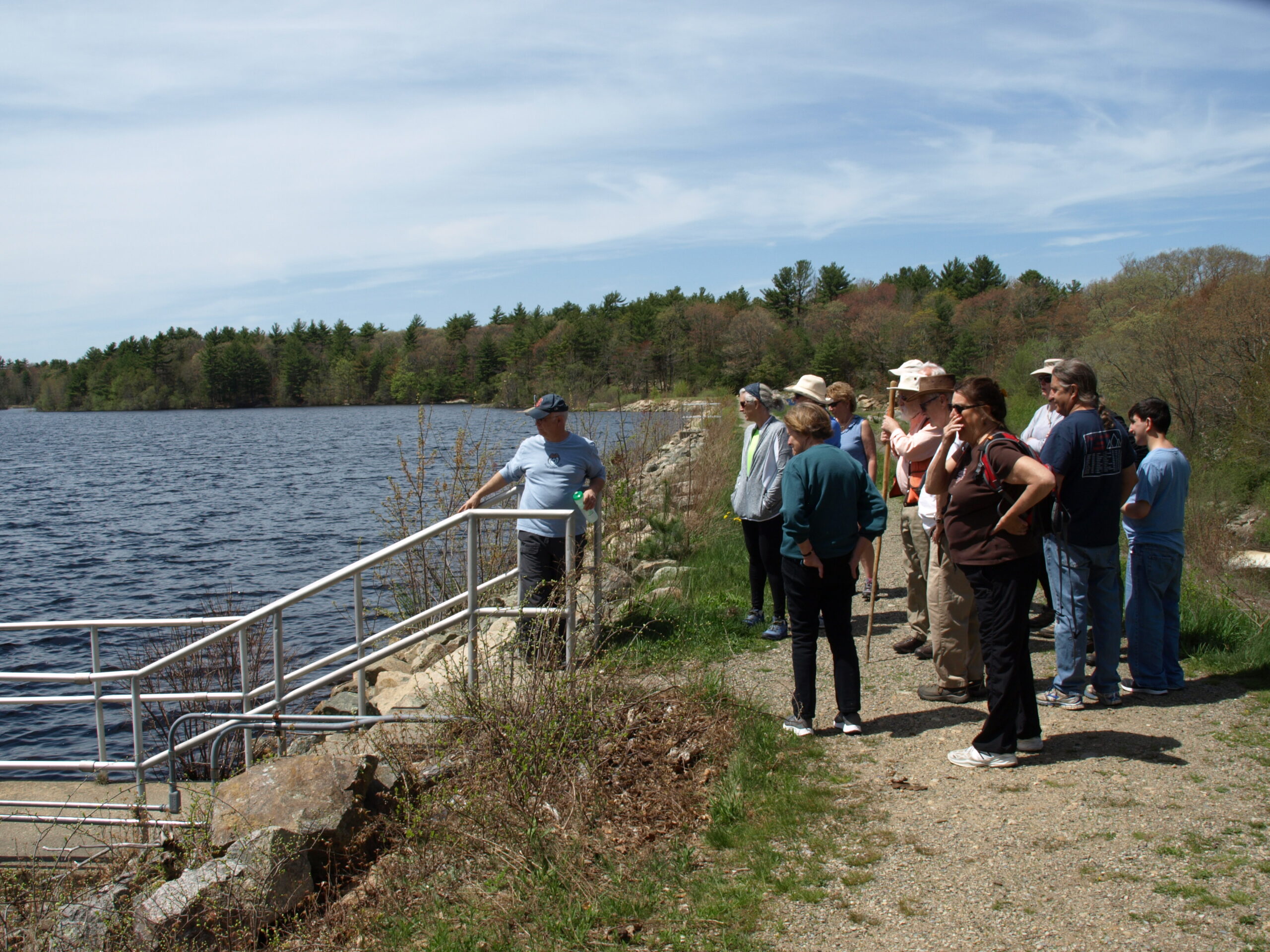
Don Kidston, an HLCT Board-member, welcomed the group on the warm, sunny spring day. He introduced Steve Ivas, the Guide for the walk, and noted his background as a Commissioner for the Norwell Water Department and a wetlands consultant.
More detailed 2018 Aaron River Reservoir Walk Notes
(Walk Notes by HLCT Board Member Don Kidston)
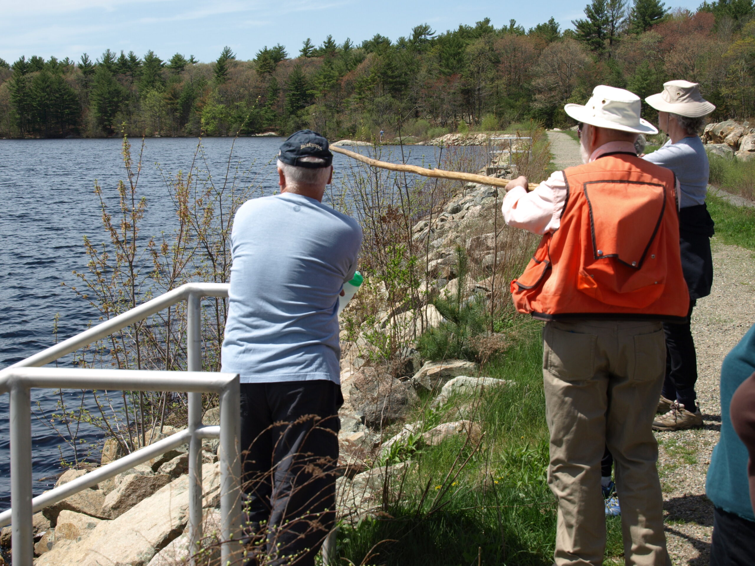
Steve led the group to the top of the dam, describing the earthen structure, which was built in Cohasset between 1976 and 1978. It was noted that the dam draws its water from the southwest from the Towns of Hingham, Norwell and Scituate. The Aaron River is fed by Holly Pond in Hingham, Boundary Pond, and Bound Brook Pond in Norwell. Bound Brook Pond flows through Picture Pond in Scituate into the Aaron River and into the Reservoir. The Reservoir was built by the Cohasset Water Department to supplement its water supply at nearby Lily Pond during the dry summer months. The water flows over the dam and meets Herring Brook downstream to form Bound Brook. Herring Brook is connected to Lily Pond and its surrounding wetlands. A dam across Bound Brook at Beachwood Street maintains the water level of Lily Pond. In spring, when the flow is heavy, water travels from Herring Brook over the dam. In the summer Herring Brook becomes dry and water from Aaron River flows back up Herring Brook into Lily Pond, supplementing Cohasset’s water supply.
Steve pointed out the flow of water over the dam and down a fish ladder to the river below. It was noted there were no herring swimming up the fish ladder. Steve Gammons, of Friends of Wompatuck (also former Superintendent of Wompatuck), who’d joined the walk with his son, said that the reservoir had been stocked in the past, but that fish access downstream had been interrupted and that the reservoir had to be restocked for the herring to return.
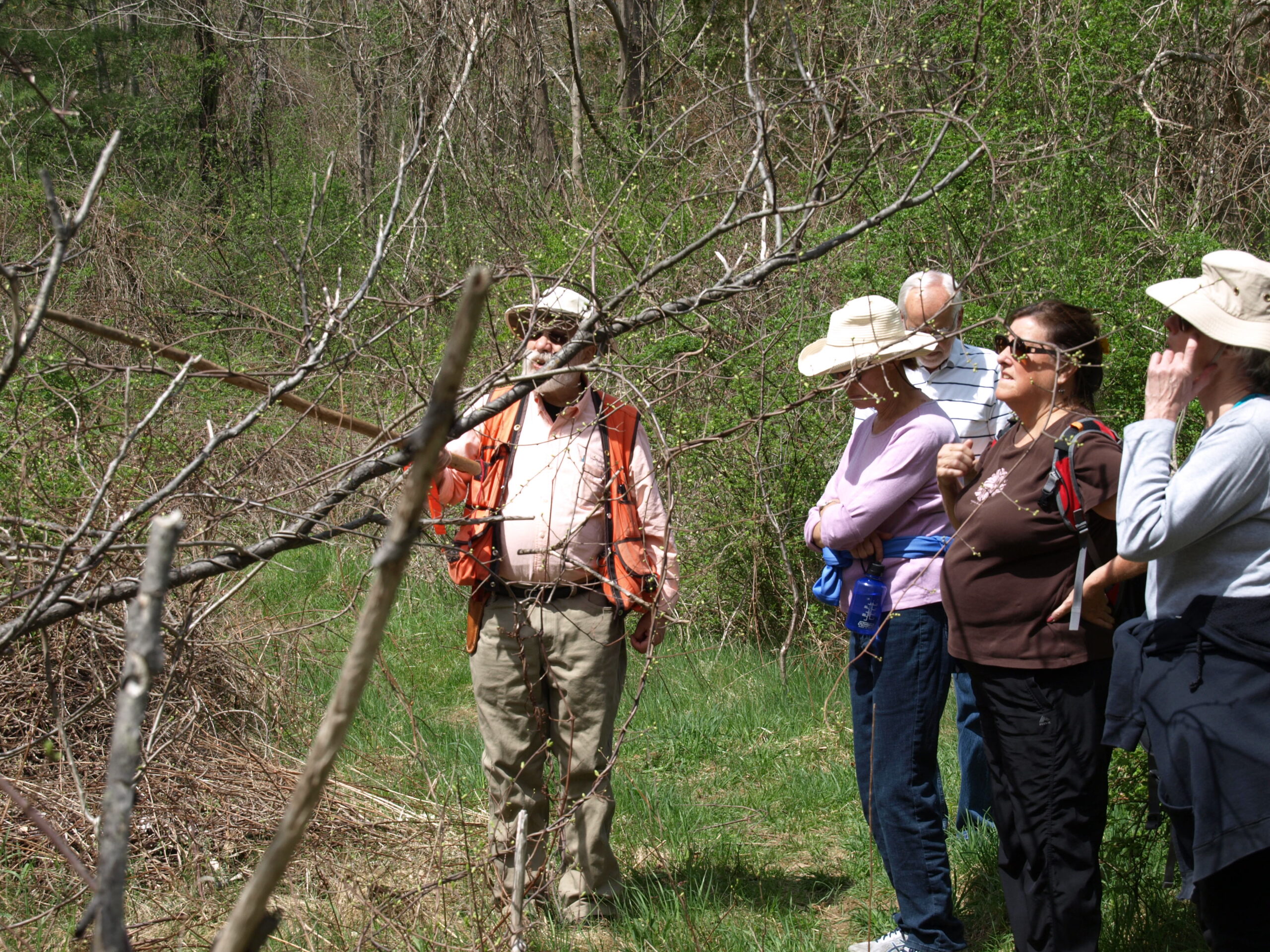
Steve Ivas observed the contrast between the vegetation between the dry low-nutrient soil on top of the 40-year-old dam and the lush vegetation below the dam’s spillway. There was whitlow grass on top of the dam compared to cattails, dogwood and phragmites in the area below.
Steve said that trees on earthen dams could cause failure of the dam. When the trees die the roots rot and leave voids, or piping, in the dam, weakening the dam, which can cause the dam to fail. Steve Gammons said that the dam is brush-cut periodically to avoid this threat.
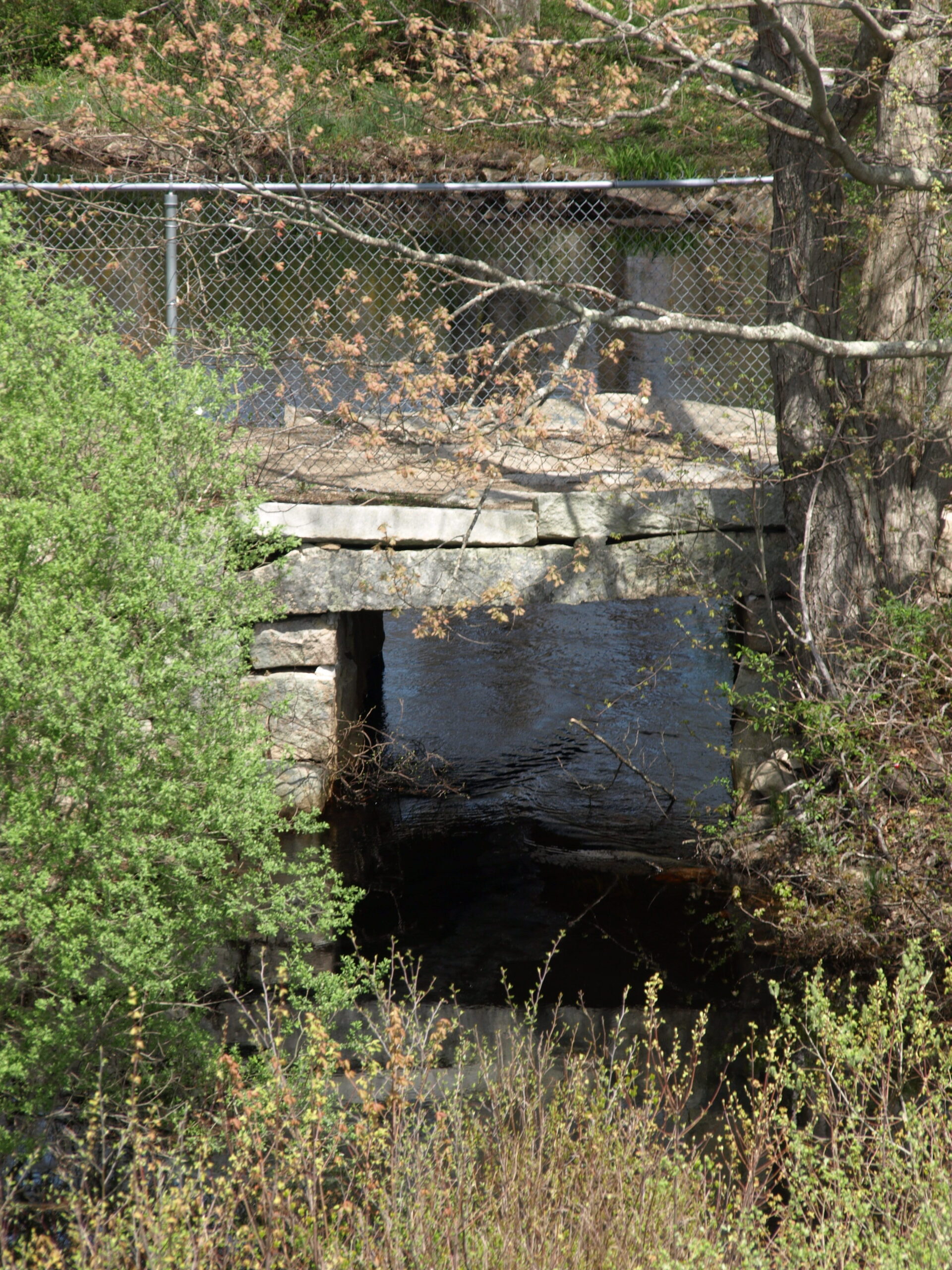
As the group left the top of the dam, we stopped to observe a rock mounted plaque dedicating the dam’s construction, and walked past sassafras, black cherry and bittersweet in route to the trail beyond the park’s entrance. At the trail’s entrance Steve Ivas pointed out a lilac bush as among the first blooming lilacs of the season. He told us that we were in the early ephemeral season of the year, when plants start to leaf out. He also pointed out garlic mustard, an invasive species. We then crossed over the Aaron River on a granite bridge estimated to be about 140 years old.
The group continued up the trail from the river to the woodland trails on the north side of the reservoir. As we walked, Steve pointed out bracken ferns, wild sassafras and a crab apple tree.
When we reached a meadow near the east border of Wompatuck, Steve pointed out a stag horn sassafras and an abundance of multi-flora rose. As we continued along woodland trails Steve pointed out blueberry bushes, which grow in acidic soils, bittersweet vines growing up the trees, false lily of the valley, which has white flowers and red berries, and yellow lady slippers. He noted that the northern limit of natural growth for the hollies which we passed is at Holly Hill in Cohasset.
We came upon a vernal pool, a seasonal pool which has a depth of 7 inches or more and supports frogs, toads, salamanders and wetlands vegetation.
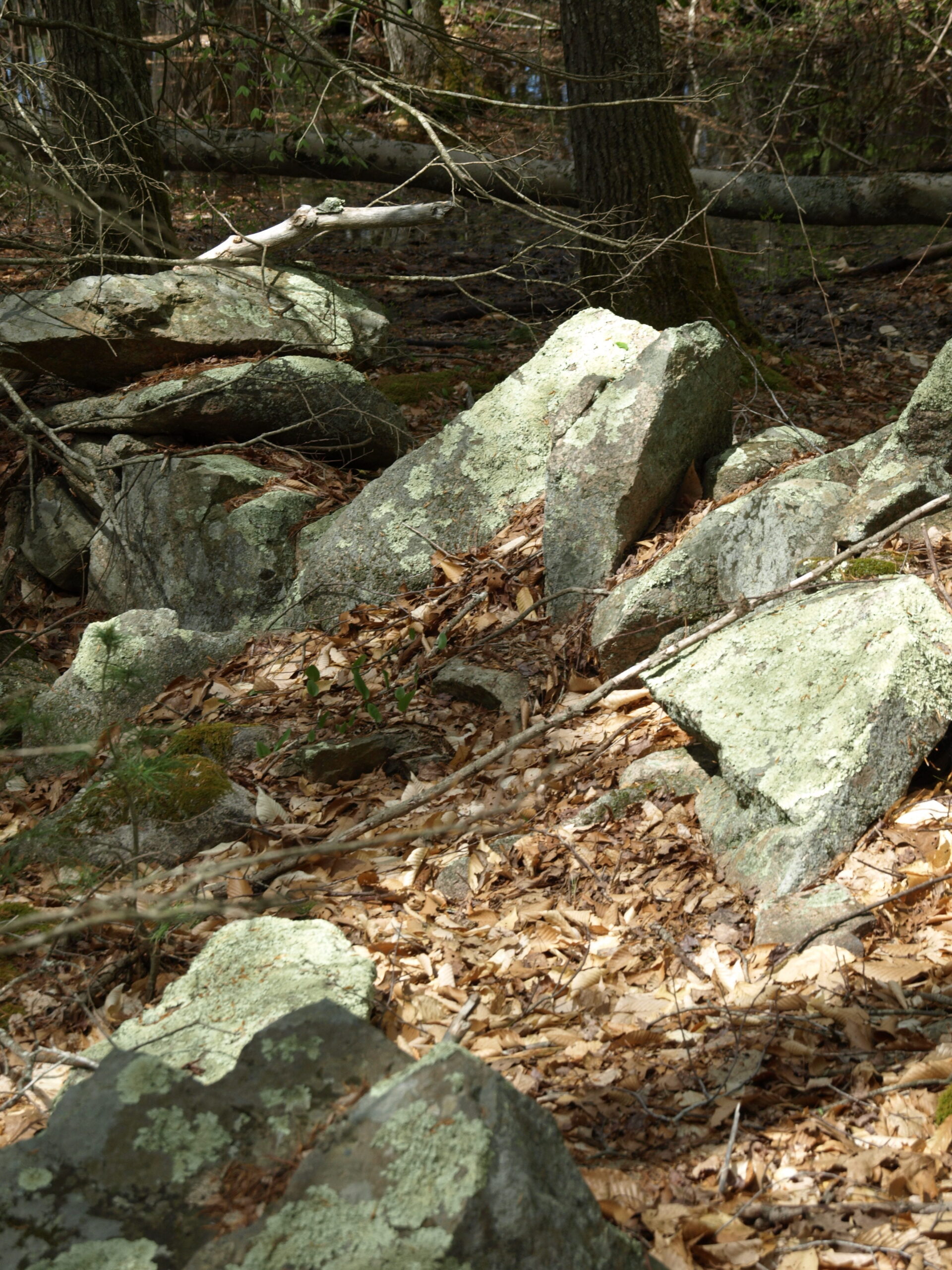
As we passed a stone wall, Don Kidston described the history of area boundaries. In 1670 the Beechwood area parcels were laid out almost perpendicular to the Scituate Border south of Lily Pond. The original parcels were generally about 25 feet wide and 1-mile long. As time passed, land grants were combined and/or divided by the owners to suit their needs. On April 21, 1726 property owners granted a perpetual way across their properties. The way eventually became Beechwood Street, which is generally perpendicular to the plots of land. As a result, many of the property boundaries marked by the stone walls follow a NNW-SSE orientation.
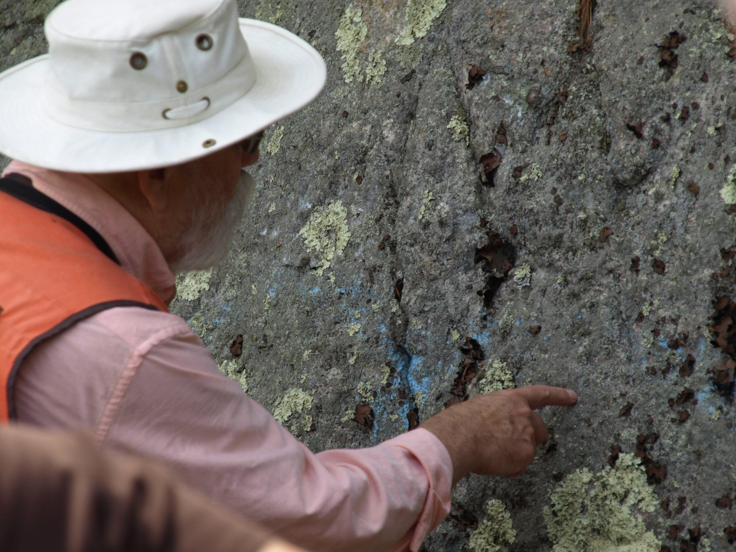
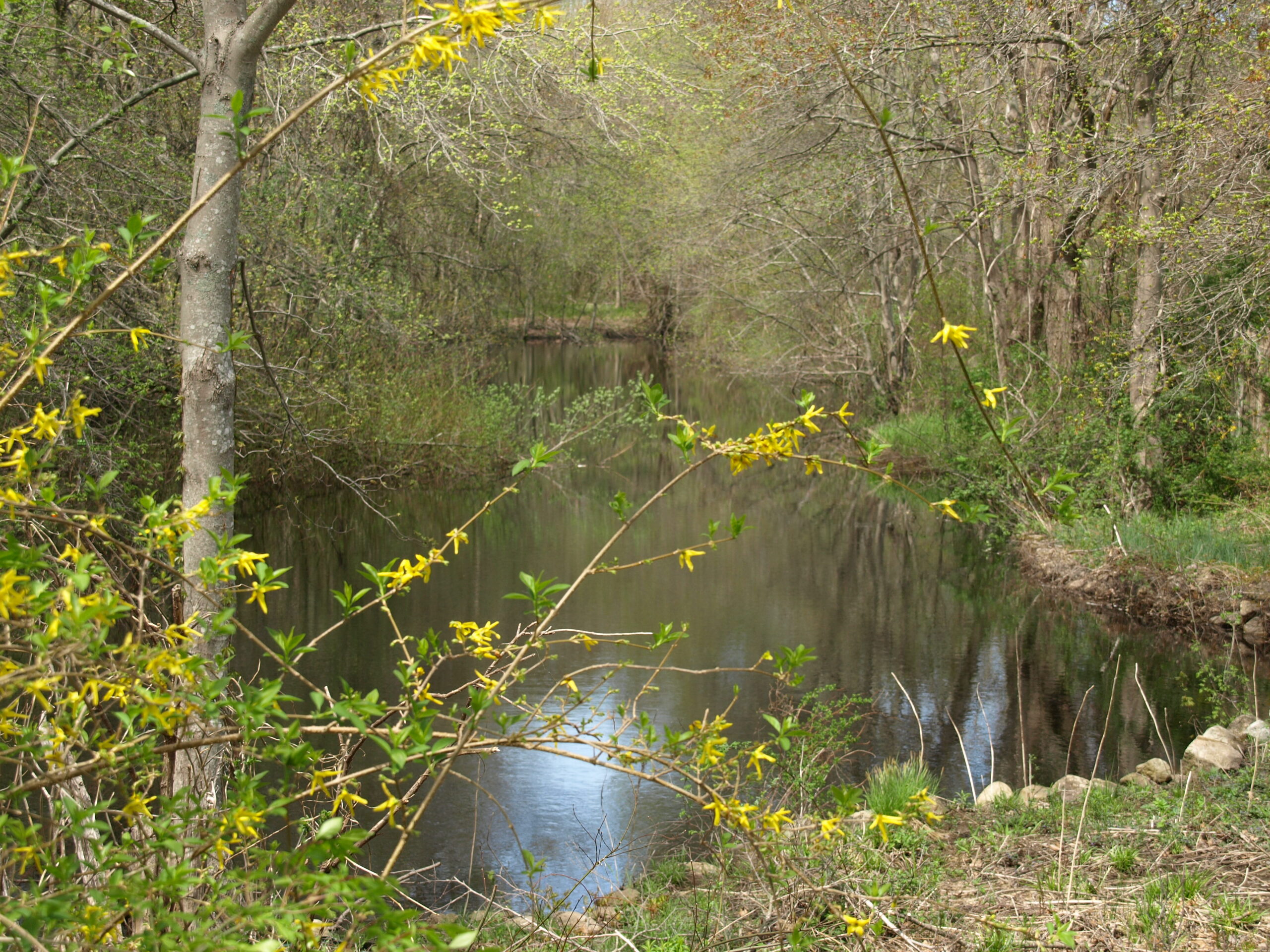
As we continued towards the reservoir, Steve observed the dying hemlocks, which are being killed by an infestation. Steve noted that standing dead trees are called snags. We walked across a boardwalk to a small dam with a beautiful view of the reservoir, to a large granite outcrop at the end of the dam. Steve noted that the rocks of Cohasset (Algonquin for long rocky place) were formed 599 million years ago and carried by glaciers from the Blue Hills toward Sandy Beach. He said the rock has unique crystals in the stone which identify it as Cohasset Granite. Steve identified brown lichen and rock tripe growing on the rock. George Washington’s troops ate rock tripe when camping on the Delaware. Rock tripe requires boiling to make it edible.
We continued our walk back across the boardwalk and along the shore of the reservoir. Steve identified honey locust and stopped to show us a large rockface that demonstrated the generational evolution of plants from moss to lichen to ferns.
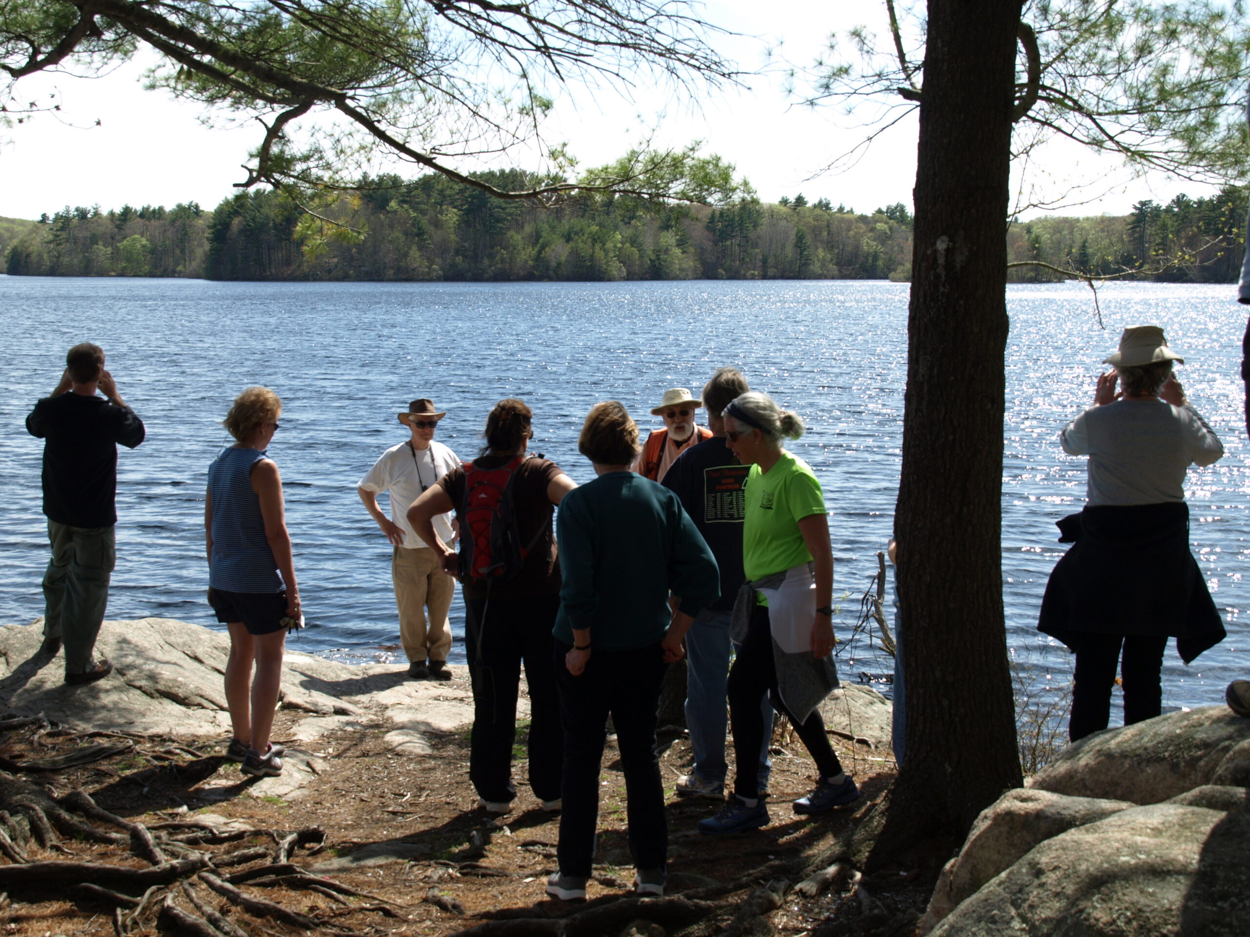
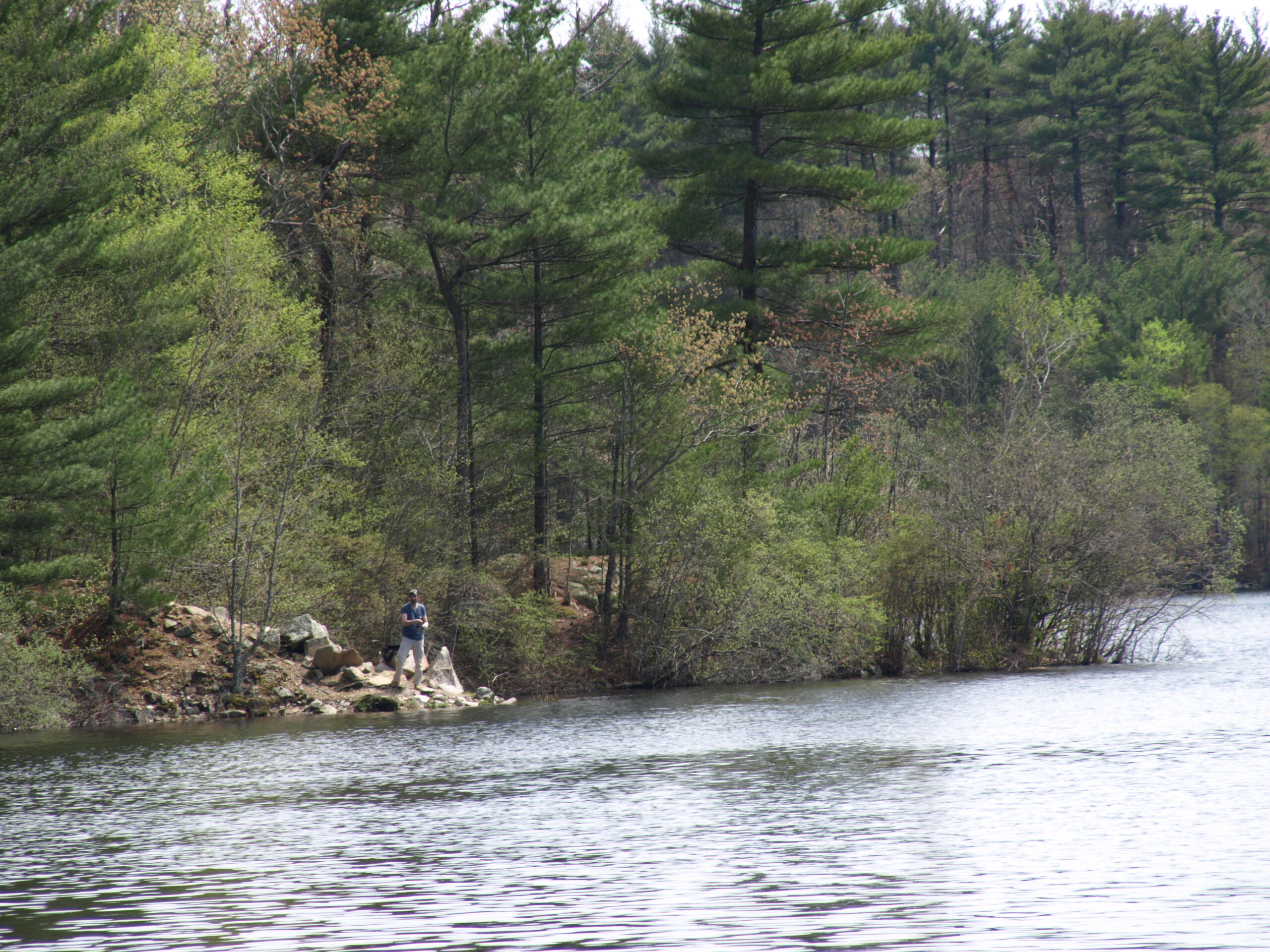
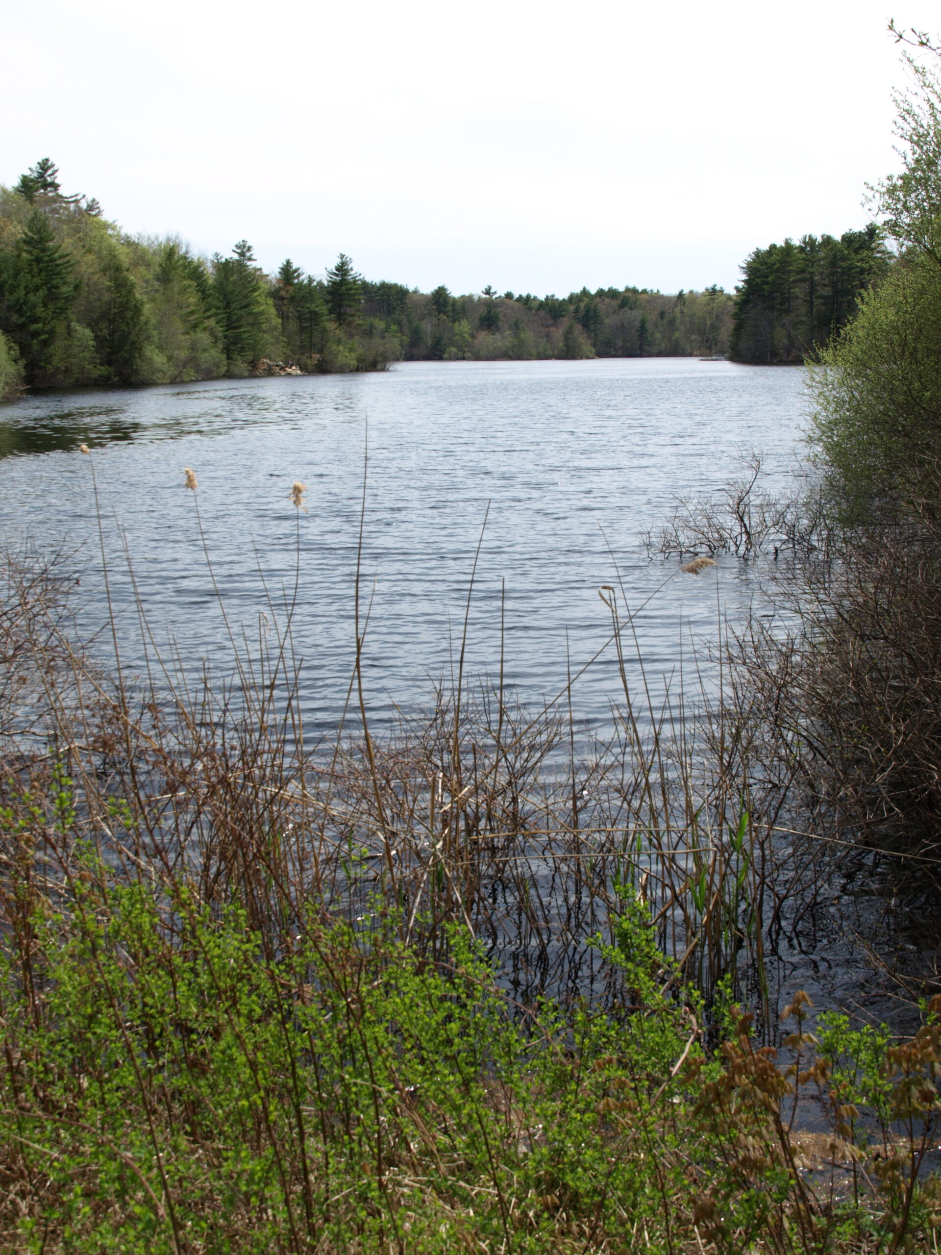
Arriving on a large rock, we enjoyed a panoramic view of the reservoir looking south. To our right we could see the boat ramp where Beechwood Street once was and to our left the dam where Beechwood entered the reservoir. Beechwood Street ran in a line between the two points a short distance from the shore on which we stood. Steve Gammons said that there were a substantial number of homes on the Street within the limits of the reservoir that were demolished when the reservoir was built.
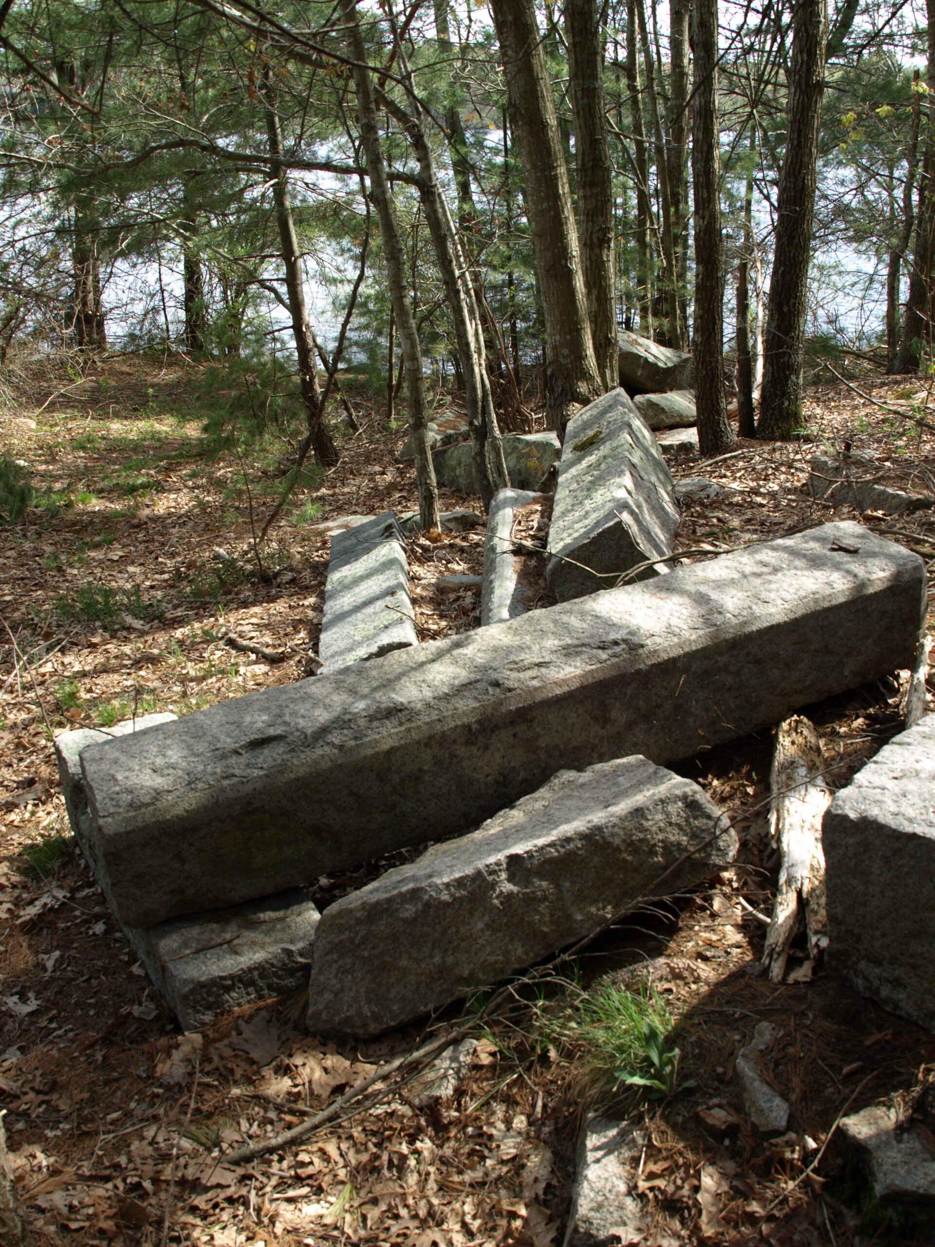
Looking at the rock on which we were standing we could observe that some of it had been quarried. Steve Gammons said it was called Tiffany Quarry. As we continued on the trail we saw cut granite from the quarry and what appeared to be the foundation of a building. It was speculated that it could have been part of a quarry structures or remnants of a house.
Further along on the waterside trail Steve Ivas identified pussy willow, and arrowwood, ash, and black birch trees.
We reached a final scenic vista from atop a rock near the dam and enjoyed one last view of the reservoir before heading to the exit. At the exit we thanked Steve Ivas for his great job in leading the walk and Steve Gammons for his contributions.
