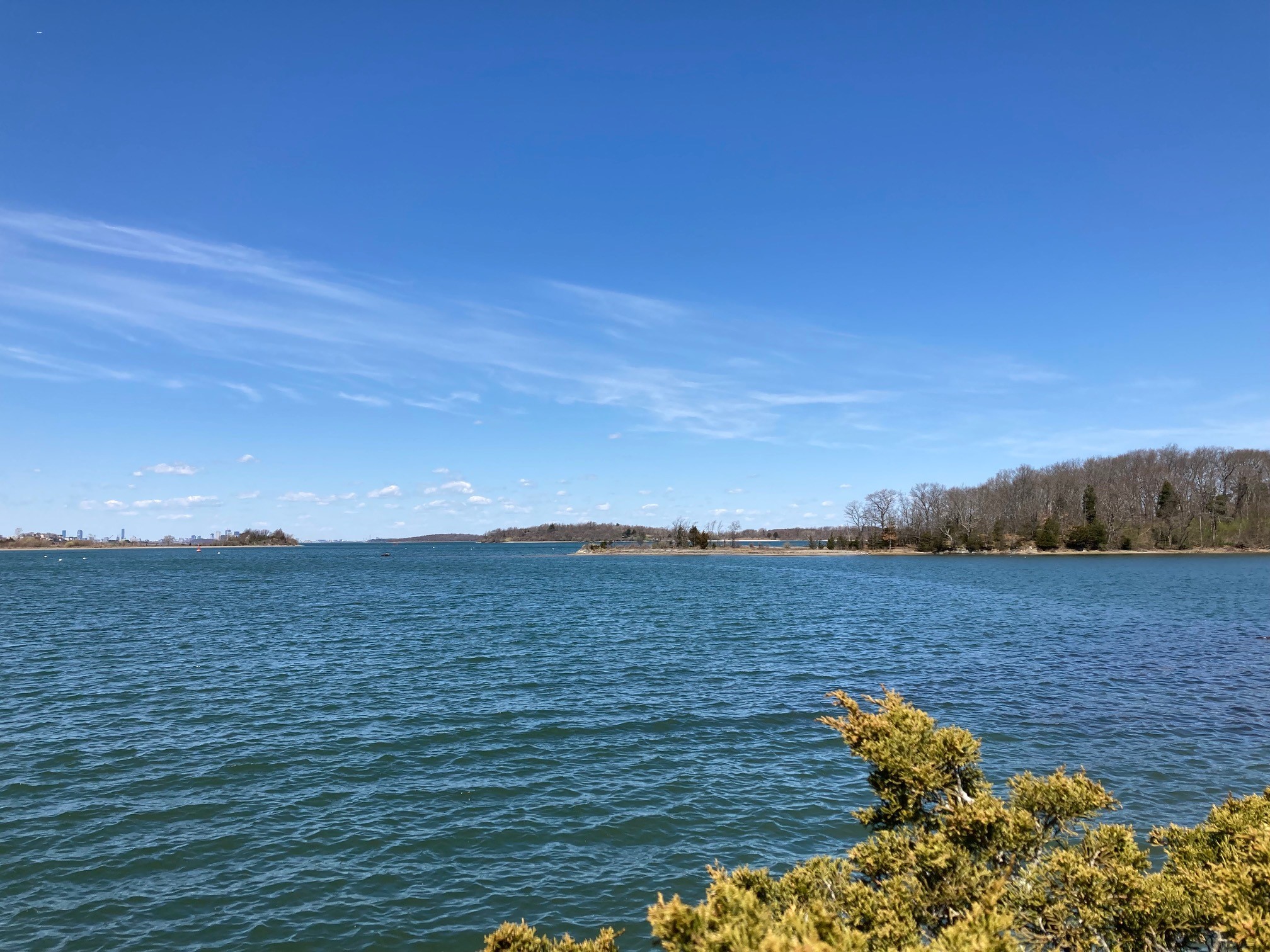
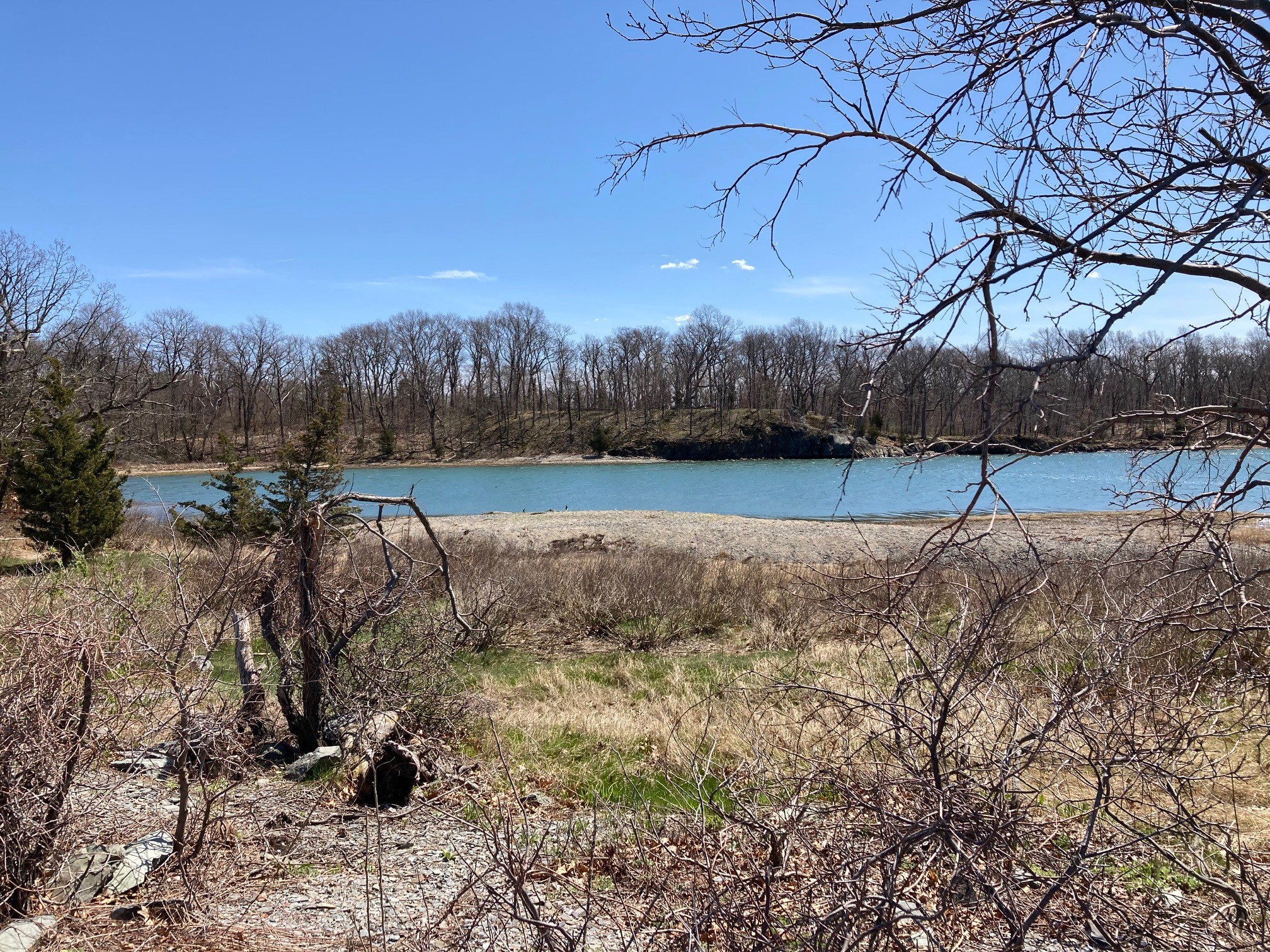
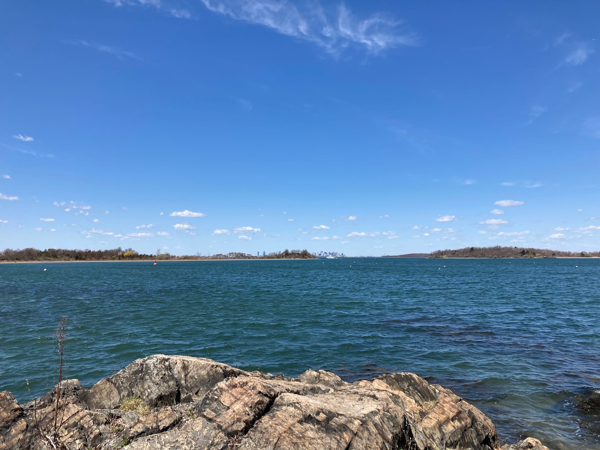
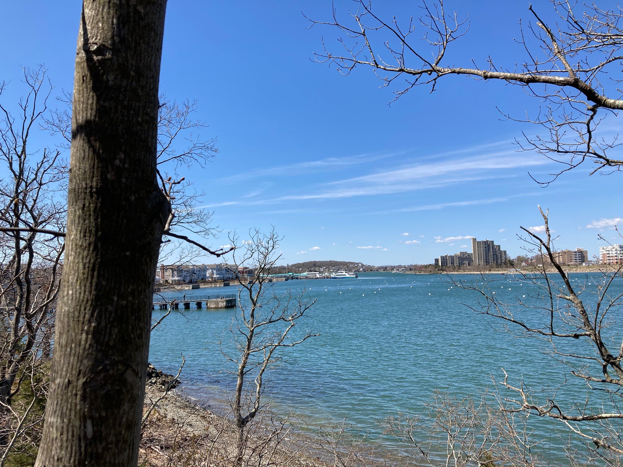
The park is located along the shoreline of the Wompatuck Road/Beach Lane neighborhood and the Hingham Shipyard. These 32 acres of natural shore land were acquired from the Bouve family in 1980. The coastal cliffs of slate were formed from sediment in a lake that occupied the Boston Basin 200 million years ago. The land is heavily wooded and has many wildflowers such as the wooded lily, wild geranium, anemone and Jack-in-the-pulpit. The property features scenic views of Hewitt’s Cove on the Weymouth Back River, Great Hill and Webb State Park across the river in Weymouth, the Boston skyline from geologically interesting slate cliffs. Summertime sunset views are particularly beautiful.
Access at the northeastern end of the Hingham Shipyard development is limited to the beach at the east end of a Bare Cove waterfront walkway. The access at the entrance is challenging, requiring visitors, after descending stairs to the beach, to climb a 5’ rock to get from the beach to a path above. There is designated parking for the Bouve Conservation Area across from 133 HMS Halsted Drive in the Hingham Shipyard.
From the designated parking spaces across from the townhouse at 117 Stayner Drive, to get to the 0.85 trail route head to the waterfront walk along Hewitt’s Cove and turn right. Follow the path down the stairs onto the beach and into the Bouve Conservation Area. About 50 to 100 feet along the beach is a short trail on the right with a rocky rise about 4 feet high which leads to the main trail. Turn left on the main trail and follow it across a bridge over a stream and through the woods, parallel to the shoreline. As the trail begins to rise there is a fork. Stay right on the main trail. The route continues up over a hill and past a rocky out-crop. The trail dips down and rises to a high rocky overlook with scenic views across Hewitt’s Cove and Back River to Great Hill and Webb State Park in Weymouth. This is also a great spot for sunset views. The main trail goes downhill, rises a little and drops again to a low spot with a row of boards. Pass one small trail on the left and turn left on the next well used trail. This is the start of a loop which will lead you out onto the peninsula. The trail crosses another boarded area and comes to a T intersection. Turn left at the intersection and follow the trail out on the peninsula along the water’s edge. The end of the peninsula is private property but access to the intertidal lands is preserved to the public for fishing, fowling and navigation under the Chapter 91 Massachusetts Public Waterfront Act. Accordingly, people may follow the trail below the high tide line out to the point. On the way to the point enjoy the spectacular views across the Cove. After reaching the point walk up the small rocky outcrop and turn back inland to the main trail. Stay straight on the main trail past minor trails that join from the beach on your left. When you come to a T intersection turn right on the first trail to stay on the main loop. When you pass the beginning of the loop, return the way you came back uphill to the rocky overlook with scenic views and past the rocky outcrop, now on the right. After passing the outcrop, turn right on the next trail. Follow the trail to the edge of the ridge overlooking the water and turn left. Follow the trail along the ridge while enjoying more views. When the trail descends, turn left back to the main trail. Turn right across the bridge and after passing a rocky rise on the right, take the next minor trail on the right and descend over the rocks to the beach. Turn left along the beach and return to the stairs up to the cove walk and return to the parking area.

Recommended Trail Activities: Hiking, Trail Biking Length: .9 Route Type: Trail (Narrow) Difficulty (Grade/Surface): Difficult Parking: Minimal (1-5 spaces) Dog Restrictions: Allowed Ancillary Activities: Birding, Boating, Fishing (license may be required), Hunting (permission may be required), Picnic, Natural Features

