John Brewer, became owner of the land in the 19th century. He built a mansion here in 1856 and established a farming estate. Over the next 30 years, he acquired most of the peninsula’s 400-plus acres. He made plans to build a 163-house residential subdivision (designed by Frederick Law Olmsted, the father of American Landscape Architecture) in 1890. The carriage roads were constructed, and trees were planted. The homes were never built, but some of the carriage roads are still in place. The property was also strongly considered as a location for the United Nations Headquarters in 1945, and a nuclear power plant in 1965, but these proposals were never implemented.
In 1967, thanks to the tremendous local commitment and fundraising efforts, The Trustees of Reservations (TTOR) and dedicated residents of Hingham and surrounding communities were able to preserve this special place.
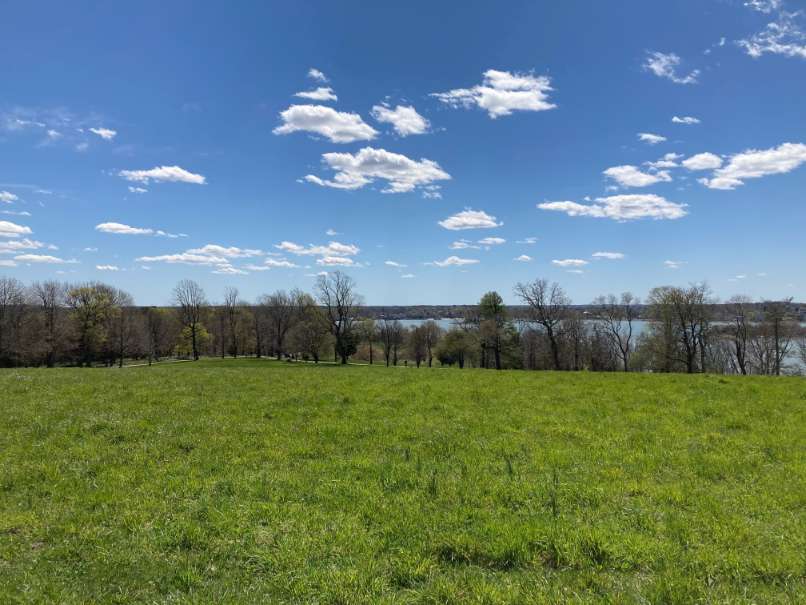
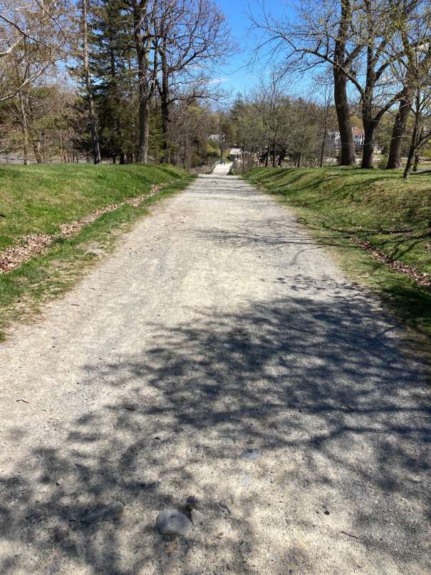
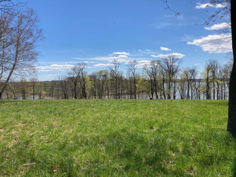
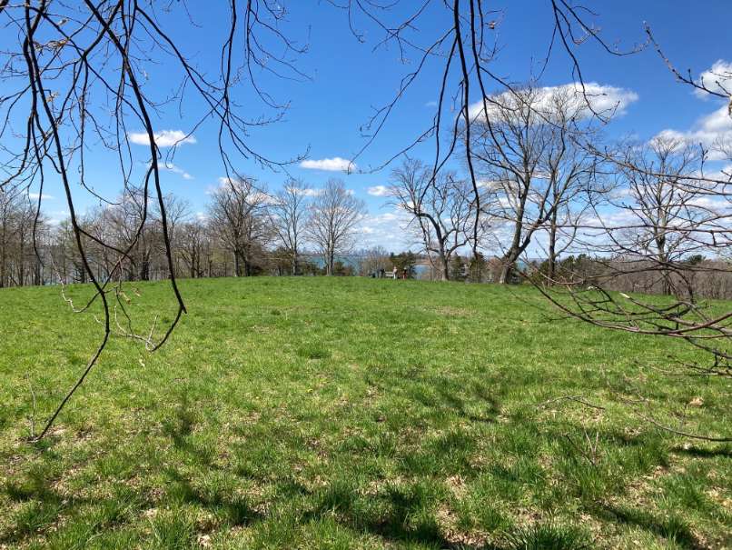
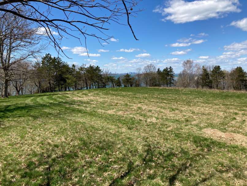
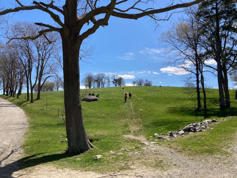
The largest property in Boston Harbor Islands, World’s End and its 4.5 miles of Olmsted’s well maintained carriage paths and footpaths draw many on weekends to enjoy the fields, which are attractive to butterflies and nesting birds. In addition to the fields and birds there are woodlands, rocky shorelines, drumlins, marshland and granite ledges and plenty of red cedar and blueberry bushes. The drumlins and cliffs offer beautiful views of the surrounding waters and the Boston skyline.
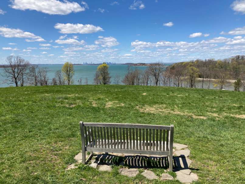
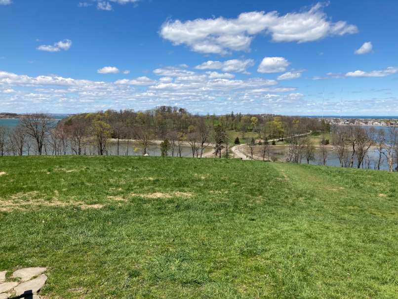
Planters Hill is crowned with three rings of trees and a circular path. A flat grassy area stands on the top of the hill. From the summit there are views in four directions: south, across the sprawling fields of World’s End; west, to Hingham Harbor and the wooded, suburban towns; east, beyond the rocky bayside cliffs to hundreds of cottages along the narrow arm of the Hull peninsula; and north, to Boston, the Harbor Islands, and Massachusetts Bay.
Access – Guests must pay a fee to visit the property or have a Trustee membership. Also parking must be reserved in advance. For more information go to:
https://thetrustees.org/place/worlds-end-hingham and click on “Admission and Hours.” An annual horseback riding permit is required for those riding horses.
From the parking lot the loop walk begins at and makes a 2.9-mile clockwise loop on the seaward cart paths around World’s End.
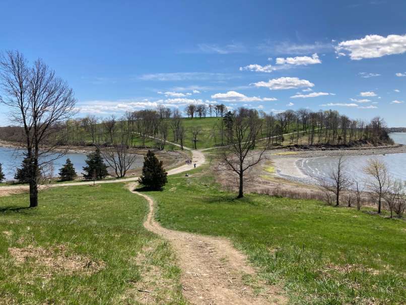
From the parking lot, follow the path east and turn right onto Brewer Road, the main road. Brewer Road leads across a bridge over the inlet to Damde Meadows. Martin’s Cove and Hingham Harbor are on the left and Damde Meadows is on the right. Depending on the season and time of day you can observe fish swimming under the bridge and seabirds. Continue a short way on the road to an intersection with a path on the right. Continue straight on Brewer Road. You will continue to follow the cart paths, staying left all the way around the reservation back to the parking lot. As you proceed you will pass Planters Hill, the largest of the drumlins, on your right. As the path begins to turn right, you will get a panoramic view of the Boston skyline across the harbor. Proceed down the hill turning left, at the bottom across the Isthmus to the outer island. From the isthmus, you can see Hingham Harbor on your left and the Nantasket section of Hull across the Weir River on your right. When you walk up towards the top of the larger half of the World’s End double drumlin, turn left and follow the path around the drumlin’s peak. As you continue on the west side of the drumlin you will again get a scenic view of the Boston skyline. Continue down the path to a valley, and turn left to circle the smaller of the double drumlin. Turn left again as you meet the valley trail, walk uphill and back down to recross the isthmus. Continue to the left along the path with Planter’s Hill on your right and fields on your left. When you come to the next fork, continue to the left. Rocky Neck will be on your left. After a short distance, you will come to a junction with a path making a sharp left turn towards Rocky Neck. Continue straight at this point, and cross the dam between Damde Meadows and the Weir River. After crossing the dam, if you turn left and walk towards the river, you will come upon Ringbolt Rock. This rock had an iron ring in it to moor boats that were traveling upstream on the river where shipbuilding took place until 1859. In that year an 800 ton ship named Solferino, which was the largest ship built in Hingham at that time, was built along the Weir River. Finally, return to the cart path and continue straight on Weir River Road back to the parking lot.

Recommended Trail Activities: Running, Walking, Hiking, Road Biking, Trail Biking
Length: 2.9 miles
Route Type: Road (Wide)
Difficulty (Grade/Surface): Easy, Moderate
Parking: Adequate
Dog Restrictions: Leash Required
Ancillary Activities: Cross-country skiing, Snowshoeing, Horses (permission may be required), Birding, Boating, Fishing (license may be required), Picnic, Historic Sites
