The property is surrounded by uplands with Liberty Pole Hill crossing the northwest side of the property. A ridge at the north end of Liberty Plain crosses through the southerly part of the WRWS property in an east west line. Upland extensions of Merryknoll Hill and Mast Hill spread from the east into the Town Forest on the east side of the WRWS property. These uplands encompass a low area of kettle ponds and Fulling Mill Brook in the north end of the WRWS site. Fulling Mill Brook originates in wetlands on the west side of Main Street and flows northeast into the WRWS property and Fulling Mill Pond and continues north into a valley through Glad Tidings Plain and beyond.
Fulling Mill Pond was created when Capt. Abel Cushing built a dam and mill in the early 18th Century. The mill was used for beating woven woolen cloth while wet to cause the opposing fibers to interlock and form a more homogenous textile. Fulling Mill Pond and Fulling Mill Brook got their names from the mill in the 18th century.
The concept of a Hingham water works was first introduced in 1870/71. In 1879 the Hingham Water Company was incorporated and granted rights to the waters of Accord Pond to convey the waters throughout Hingham and Nantasket and Nantasket Beach. In 1879 construction of the waterworks began with a completion date of 1980. The initial construction consisted of installation of pipes and fire hydrants from Accord Pond throughout Hingham on principal streets leading to Downer Landing providing water by way of gravity.
In 1881 the lines were extended into Hull to Nantasket Beach and Hull Village and into Cohasset along Jerusalem Road. In Hull a 40 feet diameter 42 feet high standpipe was built on Strawberry Hill to hold water. These extensions to the system reduced water pressure, making the gravity feed insufficient for service. To provide emergency capacity a pump was installed near the Weir River and a supply line was installed from Foundry Pond. The Foundry Pond supply was found to be objectionable and insufficient, so in March of 1886 the Water Company purchased Fulling Mill Pond and laid a 12 inch pipe from the pond to the pumping station increasing the efficiency of the service.
By July 1, 1891, 43 miles of pipes, including 187 hydrants, were extended from Fulling Mill Pond to the pumping station and from Accord Pond to Downer Landing, Windmill Point at the northern tip of Hull and Jerusalem Road in Cohasset.
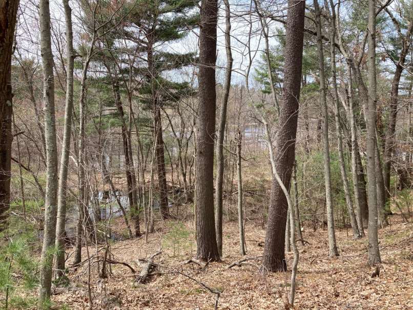
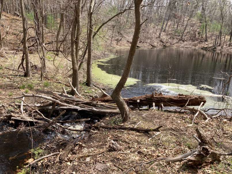
Several kettle ponds in the recessional moraine above Fulling Mill Pond were cleverly used by designers of the water system to receive and hold water piped underground from the higher elevations of Accord Brook. A natural spring can be found at the base of the southern bank of the steep-walled valley that bisects the western section. Unusually large hardwood trees add to the pleasure of following the path from Main Street eastward toward the ponds.
On August 1, 2020 the Town of Hingham completed the purchase of the water system from the Aquarion Water Company and renamed it the Weir River Water System.
Walk – This 1.2 mile walk begins at the entrance to the George Washington Town Forest located east of 115 South Pleasant Street on the south side of the street. To reach the Weir River Water System (WRWS) Ponds, enter the Town Forest from the South Pleasant Street entrance. Follow the path to the first trail on the right and follow the trail into the woods. Turn right at the first trail crossing. This trail will lead uphill to a trail along the edge of a pond on the WRWS property.
The route continues downhill to the right along the edge of the pond. At the bottom of the hill there is a piped inlet into the pond. The water in the pipe is directed down-grade from Accord Brook in Wompatuck State Park
Continue straight on the trail past the inlet keeping the pond on the left. There is a dirt road on the right that goes to a gated entrance to Fulling Mill Station (the WRWS maintenance facility and a pumping station). The walk route continues left uphill with the pond on the left. Continuing downhill on the left is a channel directing water from the pond the route has passed toward another pond further downstream.
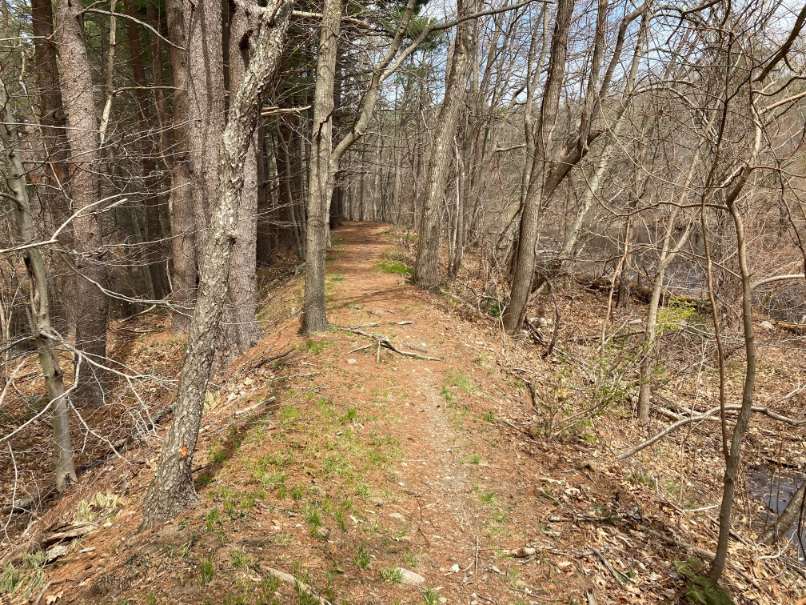
Continue on the trail along the new pond on the left, the trail splits. Take the left fork across an earthen dam, ridge-like structure between two ponds. At the split in the trails, water flows under the dam from the upper pond to the lower pond.
On the left is a narrow trail that rises up the ridge with the edge of the upper pond on the left. The route follows the trail along the base of the ledge with the pond on the right. Near the end of the pond the trail splits. To the left the trail heads up the steep ridge. Keep to the right as the trail continues along the bottom of the ridge into a wooded area. Continue right along the path as it heads downhill. When the route intersects a path, turn right and go over a hill to a four way intersection.
Turn right at the four way intersection. The trail drops slightly and comes to the edge of a pond on the right and a slope towards the road below. At this point water flows across the trail seasonally. At other times water emerges from the slope below the trail. At the bottom of the slope the water passes through a pipe under the road and flows towards Fulling Mill Pond.
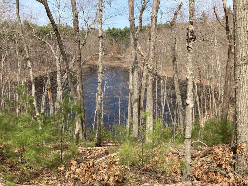
The trail then rises to the left with the pond on the right. At the top of a low ridge there are scenic views of Fulling Mill Pond on the left. Often the road below is covered with water at this location. The trail continues, with the pond on the right, and meets a second trail at a T intersection with another pond beyond the trail. This is the intersection that the route previously passed through with an earthen dam on the right and a trail previously traveled along the edge of the pond on the left.
Turn left and follow the trail back to the entrance to the Town Forest on South Pleasant Street. The route back follows the pond on the right past the path to the Fulling Mill Station on the left, the inlet from Accord Brook on the right, uphill to the trail on the left into Town Forest with left turns onto a trail and road leading back to South Pleasant Street.

Recommended Trail Activities: Walking, Hiking, Trail Biking Length: 1.2 miles Route Type: Trail (Narrow), Path (Medium), Road (Wide) Difficulty (Grade/Surface): Moderate Parking: Minimal (1-5 spaces) Dog Restrictions: Allowed Ancillary Activities: Cross-country skiing, Snowshoeing, Birding, Fishing (license may be required), Hunting (permission may be required), Historic Sites
