This 12-acre refuge provides 1,100 feet of forested frontage on busy Cushing Street and includes wooded trails, wetlands, an inlet and some rocky outcrops. Eel River originates on the hills of Liberty Pole and flows north on the western border of Eel River Woods into Plymouth River and Cushing Pond. The waters of Cushing Pond flow down Crooked Meadow River and merge with Foundry Pond Brook to form the Weir River, which flows into Hingham Bay. Eel River has been identified as a cold water fishery resource by the MA Department of Fisheries and Game which identified the presence of brook trout in the stream. Coldwater streams are areas or reaches of streams and small rivers with water cold enough throughout the year to support coldwater fish such as brook trout. Brook trout, Atlantic salmon, and the non-native brown and rainbow trout thrive in cold water. Other species that inhabit these streams include slimy sculpin, blacknosed and longnose dace, and white suckers.
The land was a gift from Mary Niles to the Hingham Land Conservation Trust in 1985. (Previously, Mrs. Niles and Stephen Baker had given the town approximately 4 additional acres on the edge of Cushing Pond.) White pines make up much of the woods making for comfortable walking on pine needle covered trails. There are also some beech trees along the way.
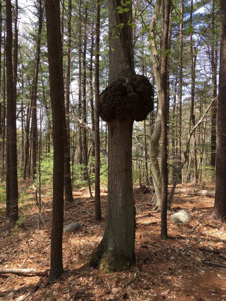
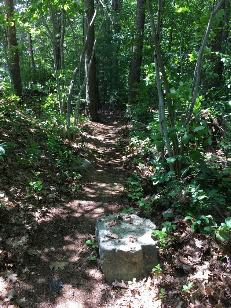
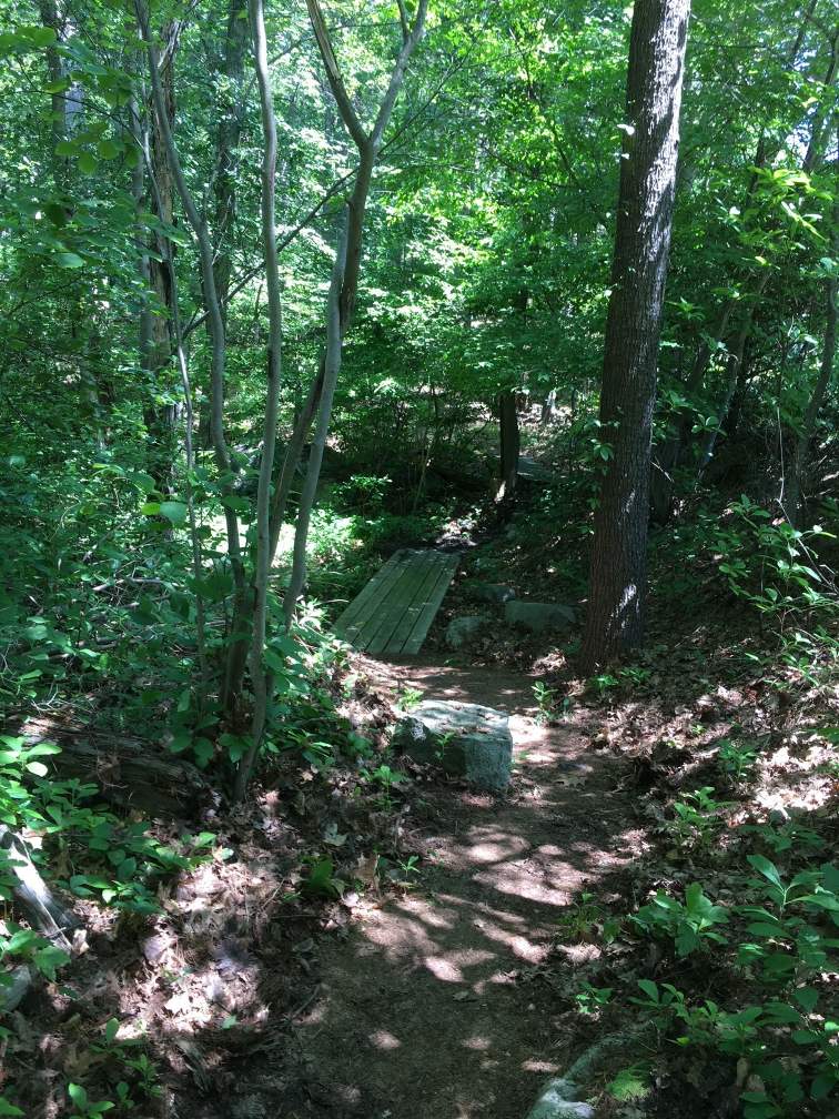
Roadside parking is available for a few cars at the trailhead at 125 Cushing Street. Curbside parking is also available across Cushing Street on Pioneer Road. The 0.6 mile route begins by walking down a few steps at the entrance. A kiosk on the left has a trail map and information on park activities. The route then turns right and crosses a boardwalk built by Eagle Scout Leland Frantz in 2017. The trail rises to a second boardwalk which passes over an inlet from a stream on the south side of Cushing Street. Water from the inlet flows downstream into the wetlands of Cushing Pond. The trail turns left away from the street and comes to a T intersection. The route turns right and rises up steps made of old railroad ties. The trail leads left and then right to a bench on the top of a rocky outcrop with views of the woods and marshlands below. The trail continues downhill over some rocks and through pine trees. At a split the route continues on the trail to the right and then turns uphill to the left to start a counter-clockwise loop. At the top of the rise the trail turns left and continues left downhill and back to the right onto the level trail through the woods. The route continues back over the rocky outcrop and down the railroad tie steps to the intersection at the bottom of the steps. The route continues to the right down hill and over stepping stones through a swampy area. The route continues to the left uphill to the entrance trail and turns sharply to the right. The route continues past a turn on the left and goes downhill through a wetlands area to a rustic bridge. On the approach to the bridge the trail is covered with protruding tree roots making for a rough surface. The bridge crosses over an inlet from Cushing Pond and ends facing a large tree. The tree requires a quick turn to the right and back to the left over a rough surface. There’s a handrail on the left to assist in passing along a narrow section of the trail. The trail continues with ups and downs and some sharp turns. The trail goes through pine trees, and past a bench to a split. The route then goes left onto a connecting trail, down a short grade to another junction. The route then turns right up a slight grade to another junction on the left. The trail on the left leads to a dead end near the junction of Eel River and Plymouth River. Remaining on the through route to the right, the trail loops around to the right and turns south past a bench and back to the connecting trail. The route turns right onto the connecting trail for the second time. This time the route goes left (south) at the next trail juncture. Continuing south the trail comes to an overlook of the Eel River on the right. From the overlook the trail becomes very rocky while passing a high rocky outcrop on the right. At the top of the outcrop is a small grove of beech trees. On the left is the inlet from Cushing Pond. Passing through pine trees, on the right side of the trail is a stone monument dedicating the property with a quote: “Live in each season as it passes” – HD Thoreau. The trail continues to a T intersection. A right turn leads back to the trailhead at Cushing Street.

Recommended Trail Activities: Walking, Hiking, Trail Biking Length: .6 Route Type: Trail (Narrow) Difficulty (Grade/Surface): Easy, Moderate Parking: Minimal (1-5 spaces) Dog Restrictions: Allowed Ancillary Activities: Cross-country skiing, Snowshoeing, Birding, Fishing (license may be required), Hunting (permission may be required), Picnic
