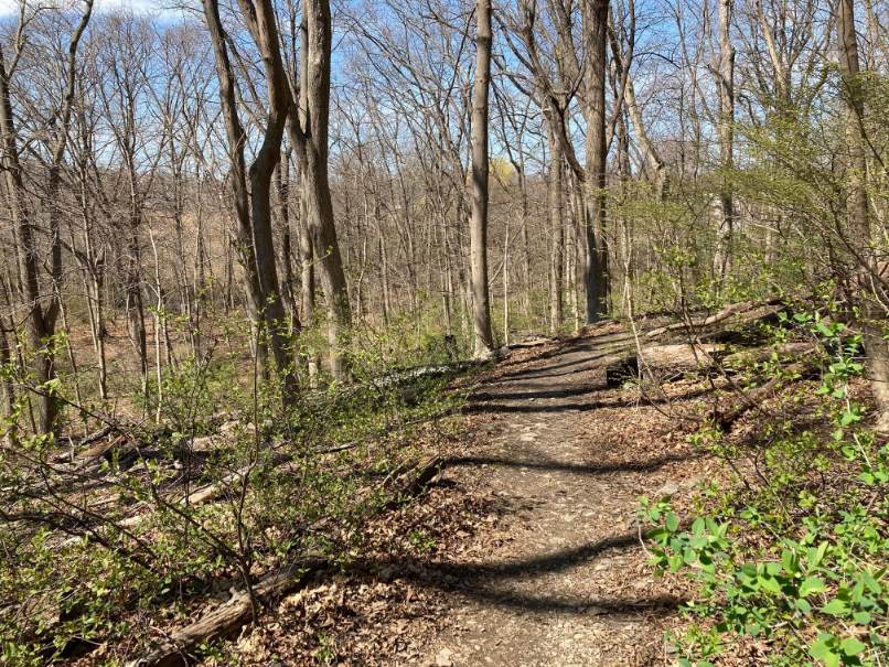
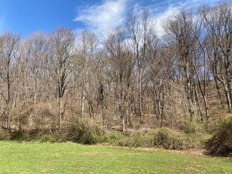
Parking for the 0.5 mile walk is available at a drop-off, pick-up lot at the northernmost driveway on Downer Ave. during non-school hours. The walk route follows the driveway from the parking area with the hill on the left, towards the school on the right. The route goes past steps up the hill on the left (the trail leading from the steps is overgrown and impassable) and continues past the school building on the right. At a blank sign board on the left the route turns left and rises 10-20 feet uphill to a trail that runs along the base of the hill. The route turns right and continues along the base of the hill. The uphill side of the trail is covered with old, large trees including many sugar maples and limited ground level forest growth. On the right there are views of basketball courts and athletic fields. There are also frequent trail connections to the fields below. Near the end of the playing field there are wetlands followed by a stone wall crossing and a rise in the trail. Continuing uphill you will see a pile of large granite blocks, the remains of a foundation. The trail leads onto private property near Simmons Road, which is not open to the public. Accordingly, at this point retrace your steps back down the hill and turn left onto the nearest trail connection to the fields below and go down a steep incline onto the fields.
Once on the fields the route continues to the left along the mowed edge of the fields making a clockwise loop back towards the school. The loop follows the wooded edge of the playing field then follows the edge of the field adjacent to the wetlands, which are on the side of Bare Cove Road, and finally loops back towards the basketball courts.
At the basketball court the route turns left onto a walkway between the enclosed basketball courts on the right and the tennis courts on the left. At the end of the basketball enclosure the route turns right and continues between open courts to the walkway along the base of the hill. The route then turns left and returns to the parking area near Downer Ave.

Recommended Trail Activities: Walking, Hiking Length: .5 Route Type: Trail (Narrow), Path (Medium) Difficulty (Grade/Surface): Moderate Parking: Minimal (1-5 spaces) Dog Restrictions: Allowed Ancillary Activities: Snowshoeing, Birding, Hunting (permission may be required), Picnic


