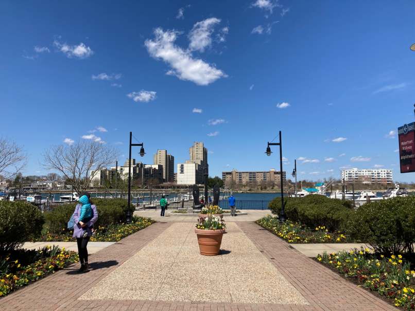
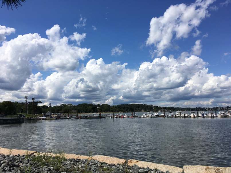
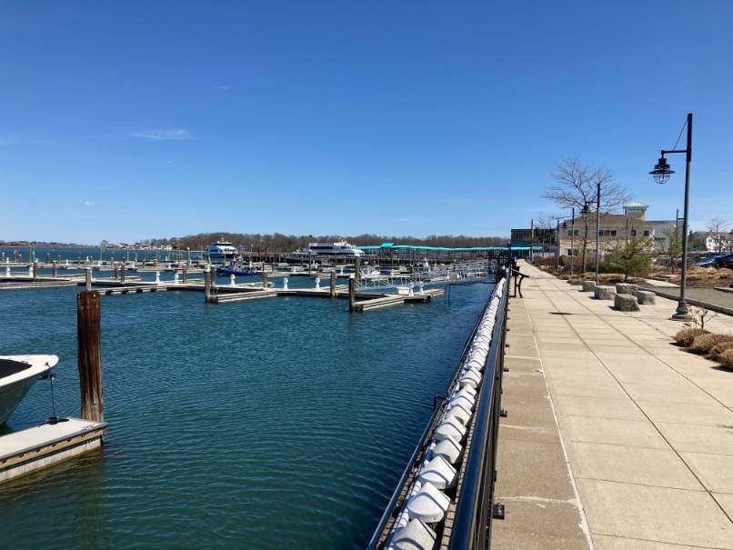
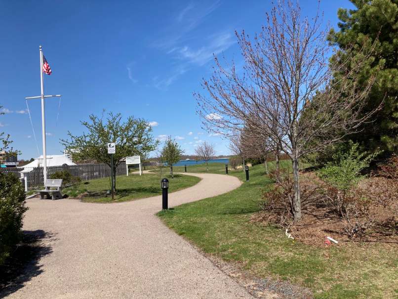
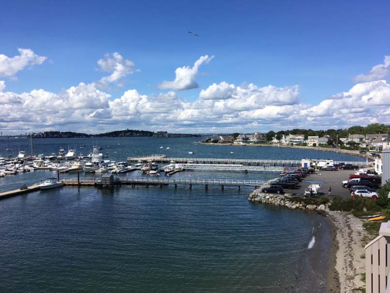
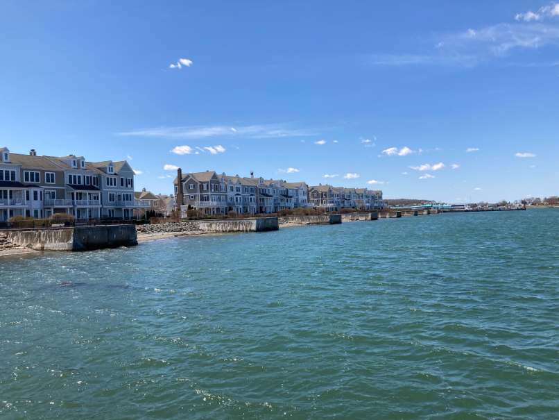
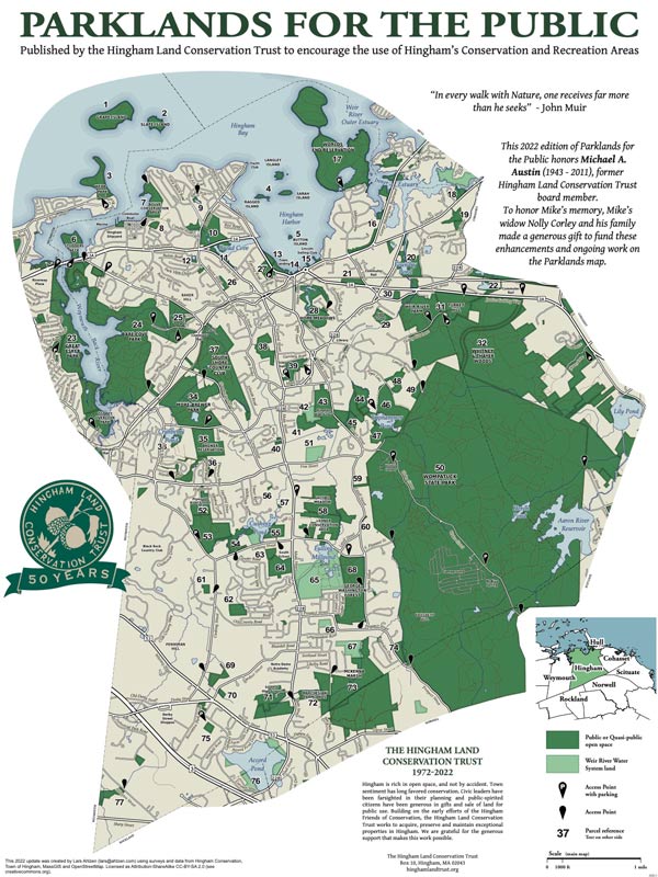
After parking, walk towards the water passing an information sign on the left before crossing HMS Halsted Drive. Cross the road, follow the path to the water side. To the right you will see a sign and stairs to the Bouve Conservation Adea and straight ahead is Hewitt’s Cove. Turn left here onto the paved waterside walkway. The serpentine walkway has gardens on the left in front of condominiums that overlook Hewitts Cove. On the right are shrubs in front of the remnants of slipways that were used in the construction and launch of warships (Destroyers, Escorts, K Boats, Landing Ships – Tanks and Landing Ships – Infantry) for U.S. and English navies during World War II. As the route proceeds on the right there is a long pier with a T configuration on the end. The pier extends from the rip-rap banks into Hewitts Cove. From the end of the pier to the right are views of the Bouve Parklands with its rocky outcrops. Beyond the Bouve Property is Crowe Point. Straight ahead and to the left is the Back River with views of the Harbor Islands, and channels to Boston Harbor. Further to the left is the Boston skyline and Webb State Park in Weymouth. Yet further left, beyond the Back River is Great Hill in Weymouth. The hill was once used to guide ships along the shores of the sea coast.
Continuing along the shipyard walk are the remains of 7 short piers which formed the sides of the slipways used to launch the World War II naval vessels described above. Every third pier has a walkway out to its end. The remaining piers are covered with plantings and, along the trail side, have panels with information on the shipyard’s history and the types and uses of the different vessels constructed. There is also an information kiosk on the left side of the path between two condo structures. At the end of the piers and condominiums the path leads left through a lawn covered park. The park is named Eugene F. Creedon Memorial Park in honor of the World War II Veteran. The park honors both military veterans and those who worked at the Hingham Shipyard in production of the Landing Ships. There is a flagpole and several different memorials and memorial benches located at the park entrance on Shipyard Drive.
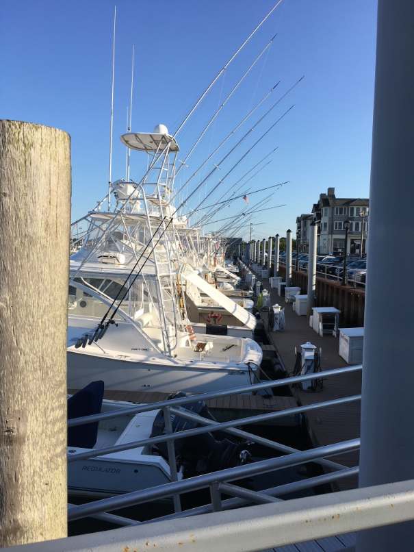
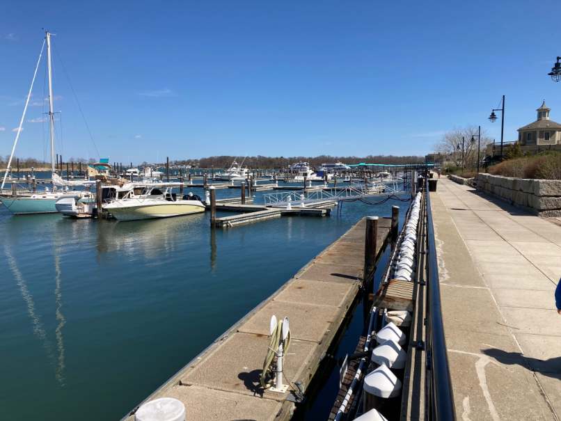
At Shipyard Drive the route turns right and continues down the sidewalk passing an anchor displayed on the right side of the sidewalk. The route then turns right onto the walkway past the MBTA Hingham Terminal Building on the left and another building on the left and another building on the right and continues towards the Hewitts Cove Pier. The route turns left when the path intersects the paved walkway along the waterfront and passes a flag display on the left in front of the MBTA building. On the right are the marina piers and boat slips of the Hewitts Shipyard Marina. As the route continues the route passes several historic marker panels listing the names and numbers of all warships constructed here during WWII. While passing the panels the route also passes seven high marina piers and boat slips on the right. On the left are shipyard buildings, and a garden with benches and a bocce court. After passing a restaurant there is a wide walkway connecting the waterside walk to Shipyard Drive and a shopping area. There is a large anchor displayed in the middle of the walkway.
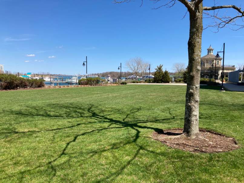
Continuing along the river past the Anchor monument the walkway comes to a courtyard and turns left away from the riverside. The walkway then passes through the courtyard with the field on the left and turns left onto a tree-lined walk back to the corner of a commercial building. At the building the walkway enters the field, which serves as a small park and play area. Passing through the field the walkway comes to the wide path that links the Shipyard Drive shopping area with the Back River. Turn left past the anchor monument and right onto the riverside walkway. From this point the route goes back along the riverside past the marina and the MBTA Boat Terminal, along Shipyard Drive through Creedon Park and along Hewitts Cove returning to the parking area on HMS Halsted Drive, completing the walk.

Recommended Trail Activities: Running, Walking Length: .9 miles Route Type: Path (Medium) Difficulty (Grade/Surface): ADA Compliant, Easy Parking: Adequate Dog Restrictions: Leash Required Ancillary Activities: Birding, Boating, Fishing (license may be required), Picnic, Historic Sites
