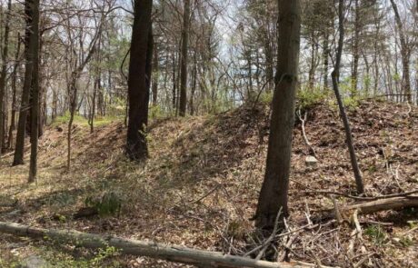
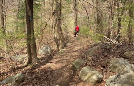
Ridgewood reservation is aptly named, as it consists of a north-south ridge that extends to the hills of Brewer Reservation. The property is located between High Street and neighborhood residences on the south and Brewer Reservation and Hobart Street on the north. Adjoining Brewer Reservation, Cassidy Field (HRC), 8.4 acres surrounded by white pines, includes a baseball field. A ridge trail, through much of the property, connects the Brewer Reservation to High Street. The trails are surrounded by pine trees, whose needles provide a comfortable walking surface. In addition to the north south ridge there is an esker like ridge crossing the trail about a quarter mile from High Street. It appears that the ridge top trail and the crossing ridge form the dividing line between the Back River watershed to the northwest and the Weir River watershed (Plymouth River and Tower Brook) to the south and east. In addition to the esker-like ridges there are other remnants of the ice age such as glacial erratics, large stones moved by melting glaciers and left spread out on the earth’s surface and Roxbury Puddingstone, a rock that is filled with small stones.

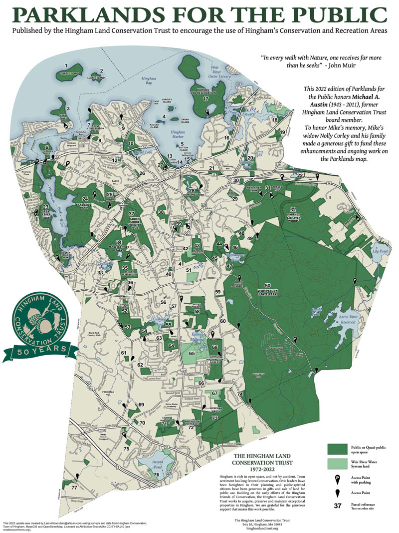
Ridgewood Reservation (HCC), land donated in conjunction with the development of Ridgewood Crossing in 2010, has a trail along a forested ridge and a small pond (Snake Pond). There is access off Hobart Street through Brewer Reservation between Blue Sky Drive and the transfer station with limited parking on the southside of Hobart Street and a parking lot on the northside of the street. There is also access at the entrance between 249 and 255 High Street, with parking on the side of the entrance way. There is neighborhood access via a trail between 15 and 19 White Horse Road.

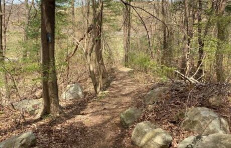
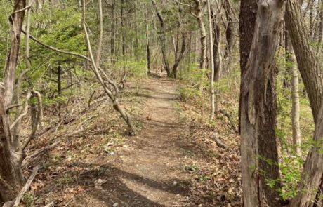
The 1.4 mile route begins at the High Street entrance between 249 and 255 High Street. There is limited parking on the side of the drive that leads to the trailhead. The 1.4 mile route follows a hilltop trail north into Brewer Reservation, loops to the east, returns to the main trail and continues south to High Street. The route goes uphill to a map kiosk at the trailhead. Continue uphill on the lawn with houses on the left. As the trail reaches level ground, before it comes to a road, take the trail on the right. Turn right and follow the blue trail markings on the trees. The trail loops to the right then back to the left around Zion Hill. The trail then passes through two ridges that are about 6 feet high. As the pine needle covered trail gradually descends there are glacial erratics (large boulders) on the right, including pudding stone. As the trail continues another trail merges from the right. Further on there’s a trail crossing with a trail that links to abutting residential neighborhoods. The trail begins to descend with a large deposit of huge boulders on a hillside on the left. Continuing downhill following blue markings on trees the route passes a trail on the left that links to an adjacent road. As the ridge trail continues it becomes like an esker with steep slopes on either side. On the right side is Snake Pond and on the left is a low meadow that abuts Cranberry Pond. The path continues downhill and levels off as it passes into Brewer Reservation. On the right the route is joined by a trail from the White Horse Road entrance. At this location is another trail that turns into a field on the right and into a residential area. Passing the trail on the right and continuing north the path passes the Hingham Landfill on the left then continues into the woods on a flat path and rises gradually before coming to a field on the right. The route turns right (east) and goes east along the south edge of the field. At the end of the field a path leads right (south) onto a trail into the woods. The trail goes right then left down a hill through the woods to an open field. The trail continues along the edge of the field next to the woods on the right. At the end of the field the trail turns right to rejoin the main trail. Turn left onto the main trail and follow it back to High Street staying right at all forks encountered along the way.

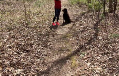
Recommended Trail Activities: Walking, Hiking, Trail Biking Length: 1.4 miles Route Type: Trail (Narrow), Path (Medium) Difficulty (Grade/Surface): Moderate Parking: Limited Dog Restrictions: Allowed Ancillary Activities: Cross-country skiing, Snowshoeing, Birding, Hunting (permission may be required), Camping (permission may be required)