The neck was formed by glaciers, which left sand and gravel, pudding stones and a small drumlin known as McCarthy Hummock. pudding stone is a conglomerate that consists of distinctly rounded pebbles which contrast sharply with the color of the finer-grained, often sandy, matrix or cement surrounding them. There are also sandy beaches and rocky shorelines along the Weymouth Back River.
Part of the Massachusetts Department of Conservation & Recreation’s (DCR) Back River Reservation. Before this property was converted into a park by the Metropolitan District Commission, it used to be a sand and gravel pit, so today’s vegetation is quite young. There are some pines, oaks and cedar trees, some sumac, and plenty of grass.
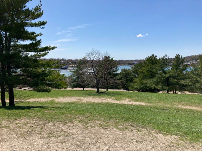
Well maintained stroller-friendly, mostly gravel trails offer gorgeous views of the Weymouth Back River. A short spur trail leads to the top of the McCarthy Hummock. You can also access the beach here, and there’s lots of shoreline to explore! In addition, there are picnic tables near the northern shore and a landing for boats. Stodders Neck is also very popular for dog-walking and in some areas, dogs are permitted to be off-leash.
Access is at 457 Lincoln Street on the northbound side of Route 3A.
After about 40 yards the main trail rises up wooden stairs. After climbing the stairs, stay right on the main trail for about 20 yards, while passing 2 trails on the left. After about 25 yards pass 2 trails on the right that merge and lead to a dead end. Take a left, then right onto a trail toward the shore, then left onto a trail at the top of the banks paralleling the water. The trail follows the shore line offering water views through the trees. In about 40 yards the trail comes to a clearing with picnic benches and a view of the inlet on the right merging with the Back River on the left.
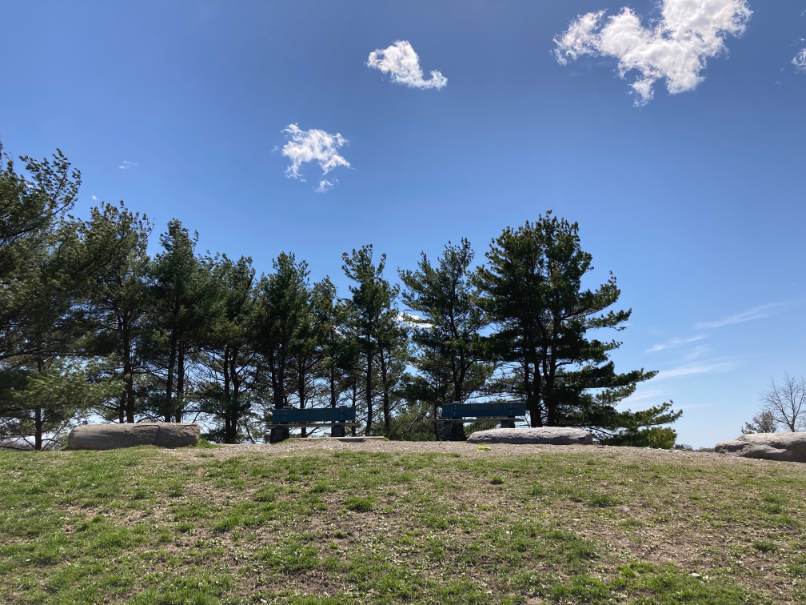
The route turns left and crosses a nearby road into an open field bound by trees on either side. The route stays right along the tree line going into a side field that leads toward a compost pile. The route then follows a narrow trail on the right. The trail leads into the woods and runs parallel to the road. The edges of the trail are marked by birch branches. Near the end of the birch markers the route turns right and then left onto a road. The road passes a timber beam retaining wall along the shore followed by granite paving stones in the middle of the road. As the road nears a bench and pudding stone marker on the right, the route turns left onto a path leading uphill onto the drumlin in the middle of the park. The path continues uphill passing a bench on the right and an open field on the left. As the path nears the top of the drumlin the route turns left uphill over the lawn to the peak of the drumlin. From the top of the drumlin there are views in all directions including the Back River as it curves around Stodder’s Neck. The site is marked by 2 benches, 3 pudding stones and an engraved granite 1976 dedication marker.
The route then follows the path from the top of the drumlin as it spirals down the hill back to the main road on the west side of Stodder’s Neck. At the foot of the path the trail crosses the road, passes a tree and continues to an overgrown entrance to a path leading back into the woods. The route into the woods follows the main trail as it goes straight and bears right while merging with other trails. The trail heads back to the entrance trail, where it turns right. On the main entrance trail the route passes the “Butterfly Xmas Trail” marker and continues on to the entrance through the stone wall to the parking lot.

Recommended Trail Activities: Walking, Hiking, Trail Biking Length: .4 Route Type: Trail (Narrow), Path (Medium), Road (Wide) Difficulty (Grade/Surface): Moderate Parking: Adequate Dog Restrictions: Allowed Ancillary Activities: Snowshoeing, Birding, Boating, Fishing (license may be required), Hunting (permission may be required), Picnic


