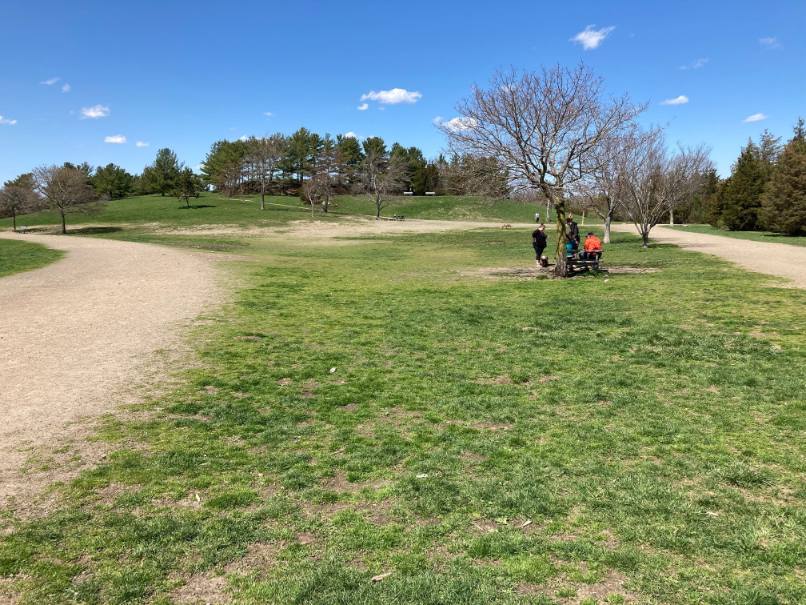
The neck was formed by glaciers, which left sand and gravel, pudding stones and a small drumlin known as McCarthy Hummock. pudding stone is a conglomerate that consists of distinctly rounded pebbles which contrast sharply with the color of the finer-grained, often sandy, matrix or cement surrounding them. There are also sandy beaches and rocky shorelines along the Weymouth Back River.
Part of the Massachusetts Department of Conservation & Recreation’s (DCR) Back River Reservation. Before this property was converted into a park by the Metropolitan District Commission, it used to be a sand and gravel pit, so today’s vegetation is quite young. There are some pines, oaks and cedar trees, some sumac, and plenty of grass.
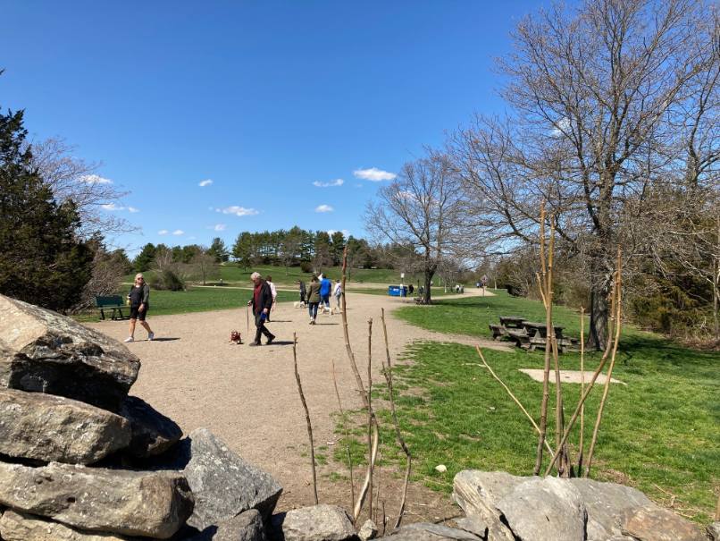
Well maintained stroller-friendly, mostly gravel trails offer gorgeous views of the Weymouth Back River. A short spur trail leads to the top of the McCarthy Hummock. You can also access the beach here, and there’s lots of shoreline to explore! In addition, there are picnic tables near the northern shore and a landing for boats. Stodders Neck is also very popular for dog-walking and in some areas, dogs are permitted to be off-leash.
Access is at 457 Lincoln Street on the northbound side of Route 3A.
The main route follows a wide road in a loop around the peninsula. It goes right at the split with a field on the left and woods, set back from the road, and a trail on the right. At the end of the field is a picnic bench and a gravel trail leading uphill. The route continues right on the road with a hill and mowed fields on the left and woods and another trail on the right. At the end of the mowed slope on the left is a trail that crosses the road and goes into the woods on the right. As the road nears a cove off the Back River, it turns left past a bench and comes to an open area on the right along the river with water views and picnic benches. The road turns left again and continues through woods to the river on the right. The road comes to another open area with a trail going up the open hillside on the left. On the right is a picnic bench, followed by a large glacial erratic pudding stone and a gravel trail leading back to the river. The road again turns left, passing a hillside trail with a picnic table and large boulders on the side of the hill on the left. The road continues along the riverside, screened by trees, on the right and a hillside field on the left. At the end of the hill there is a bench and open fields on the left. Across from the bench is a trail to the river on the right. The road then leads past fields on either side to the entrance and back to the parking lot.

Recommended Trail Activities: Running, Walking, Road Biking, Trail Biking Length: .4 Route Type: Road (Wide) Difficulty (Grade/Surface): ADA Compliant, Easy Parking: Adequate Dog Restrictions: Allowed Ancillary Activities: Birding, Boating, Fishing (license may be required), Hunting (permission may be required), Picnic


