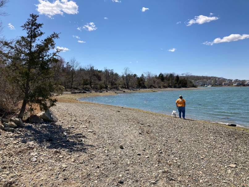
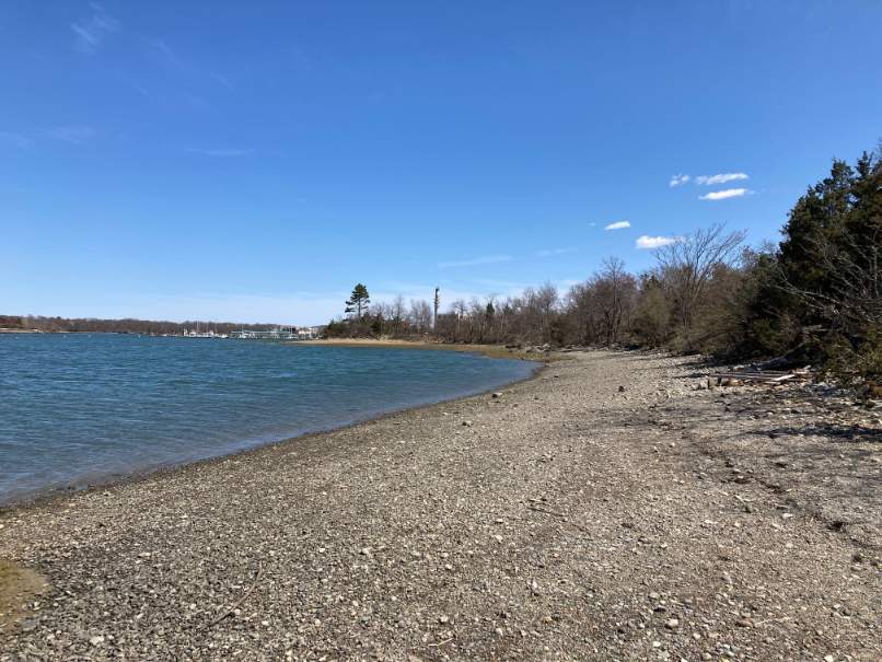
The neck was formed by glaciers, which left sand and gravel, pudding stones and a small drumlin known as McCarthy Hummock. pudding stone is a conglomerate that consists of distinctly rounded pebbles which contrast sharply with the color of the finer-grained, often sandy, matrix or cement surrounding them. There are also sandy beaches and rocky shorelines along the Weymouth Back River.
Part of the Massachusetts Department of Conservation & Recreation’s (DCR) Back River Reservation. Before this property was converted into a park by the Metropolitan District Commission, it used to be a sand and gravel pit, so today’s vegetation is quite young. There are some pines, oaks and cedar trees, some sumac, and plenty of grass.
Well maintained stroller-friendly, mostly gravel trails offer gorgeous views of the Weymouth Back River. A short spur trail leads to the top of the McCarthy Hummock. You can also access the beach here, and there’s lots of shoreline to explore! In addition, there are picnic tables near the northern shore and a landing for boats. Stodders Neck is also very popular for dog-walking and in some areas, dogs are permitted to be off-leash.
Access is at 457 Lincoln Street on the northbound side of Route 3A.
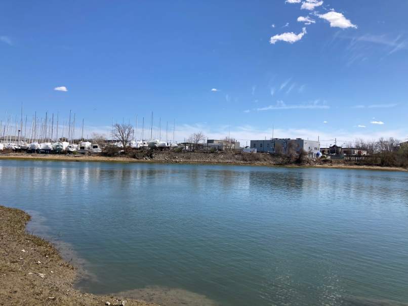
Parking is at a lot located on the right (north) side of Route 3A (457 Lincoln Street) between Beal Street and a bridge over the Back River. After parking, walk to the north, away from Route 3A to a stone wall and turn right following the wall to a small trail opening on the left. Step through the wall and follow the trails to the right past a pudding stone boulder towards the inlet on the right. The route goes down a slope to a trail along the beach next to the inlet. (Note at high tide this area of the beach is under water and walkers will have to use an alternate route along the banks of the inlet.) The beach route continues left along the shore with the inlet on the right. Across the inlet are views of the Hingham Shipyard site. Ahead, towards the mouth of the inlet are the Back River and, beyond the river, a peninsula in Weymouth. The trail follows the shore line with bayberry trails on the left and comes to a mud flat. The route turns left up a steep rise and follows a trail running parallel to the mud flat. In about 50 feet you come to a fork. Stay to the left. The route stays right for about 30 feet until it meets another trail. The high tide alternate trail meets the beach trail at this location.
Where the beach trail route connects to the beach, the high tide alternate trail turns left onto a trail on the top of the bank next to the inlet. The trail returns to the main trail where the route goes to the right. The route stays right on the main trail, passing a sign naming the trail the “Butterfly Xmas Trail.” The main trail continues to the right along the inlet passing several trails on the left. There are cedar trees, beautiful water views and ornaments along the way. After a viewing point the trail comes to a fork with the left leg turning sharply away from the inlet. Both legs of this fork lead to the juncture with the shore route. At the juncture, which has 2 crossing trails, continue straight on the left leg of the bank trail or right from the beach trail. The 2 routes will join and lead onto the main trail.
After about 40 yards the main trail rises up wood stairs. After rising the stairs, stay right on the main trail for about 20 yards while passing 2 trails on the left. After about 25 yards pass 2 trails on the right that merge and lead to a dead end. Continue right returning to the bank of the inlet. Go to the beach and turn left with the shore on the left and the inlet on the right. As you continue counterclockwise the route passes a picnic area which offers scenic views of the junction of the inlet and the Back River. Next to the picnic area is a rip-rap bank placed along the river’s edge to protect it from erosion. As the walk continues upstream along the Back River, the banks become steeper and have more erosion. To the right are expansive views of the Back River. As the route approaches a turn upstream to the left there are large quantities of pudding stone along the beach. Continuing to the left, the beach becomes rockier and the banks become steeper with a 15 foot +/- seawall and rip rap on the higher banks. Upstream we can see the Route 3A Bridge and, across the river, the South Shore Yacht Club.
As the route continues counterclockwise along the rocky beach it comes to a wide, steep path up the bank to flat ground. The route turns left up the path and right onto the road that leads to the park entrance. After the road merges with another road on the left, the route turns left across an open field to a trail leading into the woods. The trail continues right, paralleling a stone wall, until it comes to an opening in the wall on the right. The route passes through the wall and returns to the parking lot.

Recommended Trail Activities: Walking, Hiking Length: .4 Route Type: Trail (Narrow), Path (Medium), Road (Wide) Difficulty (Grade/Surface): Moderate Parking: Adequate Dog Restrictions: Allowed Ancillary Activities: Birding, Boating, Fishing (license may be required), Hunting (permission may be required), Picnic
