Hingham’s original settlers landed in 1635. There is a bronze marker honoring that event on North Street at the foot of Ship Street. North and South Streets were originally known as Town Street. The first land grants were made for the land along North Street on Sept. 18, 1635. The grants on South Street were made in 1636. The normal house lots were about 5 acres. The route from Hingham Harbor to Boston followed existing native trails. A primary route in Hingham was North/South Streets to Fort Hill Street into Weymouth. A historic coastal route to Boston then followed Commercial Street through Weymouth to Independence Street and Adams Street in Quincy, and continued on Adams Street to Milton, and Dorchester and Roxbury Neck.
Primary settlement of the area around the Town Brook continued through 1675. In 1808 the Hingham, Quincy Bridge Turnpike Company was chartered. In the 1810s the company constructed a turnpike following Beal Street in Hingham to a bridge crossing of Back River, along Bridge Street in Weymouth to a bridge crossing of Fore River continuing the turnpike on Washington Street in Quincy. The turnpike provided faster travel from Hingham Square to Boston than the coast route and diverted traffic on North and South Streets from Fort Hill Street to Beal Street (the Turnpike). The Charter ended in 1864 and with it, tolls were discontinued.
Another significant impact on the Town Brook area was the construction of the railroad on the alignment of the brook. In 1849 the railroad was built by the Braintree Cohasset Railroad connecting Boston and Cohasset via Hingham Square. The Hingham Station was in Hingham Square on North Street between Main and Central Streets. The Station remained in operation until 1959 when the New York, New Haven & Hartford Railroad discontinued service.
The railroad was built at grade on the alignment of the brook from West Street to Station Street. Town Brook was put into an underground culvert with an outlet at Station Street into Mill Pond. At the time, the Station Street parking area was the Mill Pond, with connections to Hingham Harbor, the Home Meadow and Town Brook.
In 2007, the MBTA completed reconstruction of the Greenbush Line through Hingham Square. The line was built in an underpass along the alignment of the brook. The underpass runs from a point west of Central Street to the back of the sidewalk after the tracks cross under South Street. As previously noted, the brook is directed through a culvert to Station Street and on to Hingham Harbor. At Station Street the railroad tracks were aligned on the south side of the parking lot, abutting the base of a hill in Hingham Cemetery.
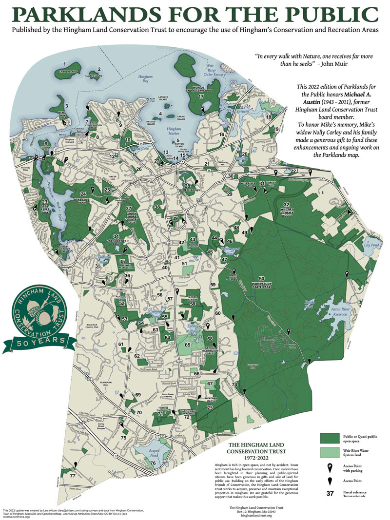
The Town Brook Loop Walk covers the heart of Historical Hingham. The Town Brook walk follows a counterclockwise loop walk around Town Brook, also known as Old Mill Brook. The total circuit is about 2.5 mi. or just over 5000 steps and is generally flat. The walk begins at the Station Street parking lot and proceeds to the seaside end of the brook at Whitney Wharf on Hingham Harbor. From there, the walk follows North Street inland, turning left onto West Street, then turning left again onto South Street. The route turns right at the junction of South and North Streets and turns right onto Station Street returning to the parking lot.
The walk begins at the Station Street Parking Lot. Looking around the parking area we can imagine the history of the site. During early settlement the Station Street lot was a mill pond with connections to Hingham Harbor on the north, Home Meadows on the east and Town Brook on the west. The waterway served as a landing area at Town Brook for English settlers in the early 1630s. Today railroad tracks form the southern boundary of the parking lot. The first railroad through the site was built in 1849 by Braintree Cohasset Railroad connecting Hingham to Boston. Through Hingham Square the railroad used the path of Town Brook with the brook relocated into a culvert connecting to the pond. The rail service was discontinued in 1959 and subsequently restored by the MBTA in 2007.
From the Station Street lot the walk route heads north towards the Harbor across Station Street to Mill Street. Mill Street is a narrow road between North and Water Streets running between Tosca and the Liberty Grille Restaurants. This is the approximate location of the first corn mill established at Hingham Harbor in 1643. The water link between Mill Street and the harbor is now through a large underground structure under a driveway and crossing under Summer Street into Hingham Harbor.
In 1953 the Mill Pond was filled to create the Station Street Parking Lot. Flow of water between Town Brook and Home Meadows to the harbor was sustained through underground culverts between the Brook outfall near the railroad tracks and the Home Meadows inlet on the east side of Water Street at the railroad crossing to the Mill Street structure connecting to the harbor
The walk route follows the underground culvert from Mill Street to the Harbor via the driveway to Summer Street turning left to the signalized crossing of Summer Street. On the north side of Summer Street turn right and left onto Whitney Wharf. The large culverts on the left side of the wharf connect the waters from Town Brook, the Home Meadow and former Mill Pond with Hingham Harbor. At this general location early settlers boated into Hingham. Early marine industries of Hingham were also located along the waterfront on both sides of Whitney Wharf and Summer Street.
Walk around the wharf and enjoy the views then return to the south side of Summer Street in front of Liberty Grille. The Liberty Grille building was constructed in 1723 as an extension to the Hingham Grain Mill. The building housed an eating establishment for many of its 290+ years in existence.
Cross over to the north side of North Street and start walking west, up the street. North Street follows the path of an old trading route which followed along the brook and eventually wound its way to the settlements farther north including Boston. At the corner of Ship Street you come to a bronze tablet. The tablet is dedicated to the landing of the Reverend Peter Hobart along with other early settlers from Hingham, England. Reverend Hobart was the pastor of the first church in Hingham.
Continuing along North Street you next come to the Rev. Ebenezer Gay house, which is 89 North Street. You will see it above you through the privet hedge. Rev. Gay was one of the most important historic figures of early Hingham serving as third pastor of Hingham’s First Parish Church from 1718 to 1787.
Further along past the intersection with Bank Ave. you will see the U.S. Post Office at the corner of Fearing Road. The Post Office is built on the site of the Cushing House Hotel, which was one of the most prominent hostels on the South Shore. The Cushing House built in 1770 served as an inn and hotel until it was demolished in 1949. Across Fearing Road on the right side of North Street is St. Paul’s Roman Catholic Church, constructed in 1871. The church was built on the site of the Perez Lincoln house, which was also known as the Garrison House as it was used as a fort during King Philip’s War (1675-1678). Next to the church on the right side of North Street is the St. Paul’s Rectory, formerly the Thomas Andrews house, built in 1685.
On the south side of North Street across from St Paul’s Church was the Hingham Train Station from 1849 to 1959. The train provided service from south of Hingham to Boston. In Hingham Square the train ran along the alignment of Town Brook, which flowed through a culvert below the tracks.
Continuing to the right after passing the rectory you will turn onto Lincoln Street. Early development in Hingham Square extended north on Lincoln Street toward Broad Cove. On the right side of the street we pass the New North Meeting House. In 1806 members of the Old Ship congregation, led by General Benjamin Lincoln, split off to form the New North Meeting house.
The next building on the right side of Lincoln Street is the Old Ordinary, built in 1680. An ordinary was a family home where travelers could stay and have an ordinary meal for an ordinary price. The Old Ordinary also served as a stop for coach service that operated between Plymouth and Boston beginning in 1802.
urning back towards North Street on the right we see Fountain Square with the statue of Abraham Lincoln which was donated to the town by the Whitney family and dedicated in 1939. At the crosswalk turn right across North Street and you are in front of the original Talbots store which is housed in what was the Talbot’s home. As the story goes Mrs. Talbot started selling sweaters out of the front parlor of the house in 1947 and the rest is, as they say, history.
Continue west along North Street and you are entering the Lincoln Historic District. Across the street at no. 181 North is the Gen. Benjamin Lincoln House, which was recently purchased by the Hingham Historical Society. Major General Lincoln is known for accepting the surrender of the British during the Revolutionary War at Yorktown on behalf of General Washington.
To the left of the Lincoln House, you will see a bit of the old North Street, giving a sense of the wandering undulation of the original road. Continuing along the left side of the street at 196 North Street, you come to what was originally the first Universalist Meeting House (1829) then the Odd Fellow’s Hall and now a private residence. Across the street is another loop off the old North Street.
Further on there is a small triangle created by an alley (Old South Street) off Thaxter Street, joining North Street from the west. On the triangle is a sign Hobart’s Bridge (1850), identifying the approximate location of the bridge crossing Town Brook. Across the street from the triangle is an open lot at 219 North St., which is the site of the former Humphries Bros Grocery & Provisions store, a photo of which graces many a history of Hingham. Just beyond the triangle is the Torrent Fire Station.
We’ve now come to Thaxter Street. Using the crosswalks, continue across Thaxter Street on the south side of North Street into the small park on the southwest corner of the intersection. At the west edge of the park there is a sign marking the location of the Gould’s Bridge crossing of Town Brook. Continue west along the sidewalk past several houses and a wooden fence along the edge of the railroad tracks until arriving at a crosswalk. To the left at the crosswalk is a sign marking the location of the Marsh’s Bridge crossing of Town Brook.
Cross to the north side of North Street and turn left (west). You walk past a historic property called Meadowbrook, built in 1726, at 271 North Street. Cross Burton’s Lane, then walk along a street lane off North Street that goes over a small hill, past the Thomas Lincoln House (1650) and on to the intersection of North, Beal and West Streets. In the 1810s Beal Street became part of a turnpike that provided a more direct route from Hingham to Quincy via bridges over the Back and Fore Rivers. The turnpike remained a toll road until 1864.
Cross Beal Street using the crosswalk, continue south along West Street to the intersection with New Bridge Street on the right and South Street on the left. Up until the 1810s the main route from Hingham Square north to Boston was New Bridge Street, which connected to Commercial Street in Weymouth and followed it through Quincy and continued to Boston. At the traffic signal, turn left crossing over the rail line and head east along the left (north) side of South Street. The wetlands area on your left was known as “the swamp.”
On the southeast side of South Street is the entrance to the South Shore Country Club. At this point Town Brook flows from hills on the right (south) of the Country Club’s entrance to a point on the left side of the entrance road. At this location the brook is piped across South Street to the southeast side of the railroad tracks and flows east along the side of the railroad. Formerly Derby Bridge on South Street crossed Town Brook at this location. Madam Sarah Derby, the founder of Derby Academy lived at this approximate location on the southeast side of South Street. Madam Derby’s property included an antique house to the left of the Country Club that was the home of W. Allen Gay, a very well-known local artist.
The walk continues east along the north side of South Street which is lined with lovely antique homes. Shortly after passing Bishop’s Lane on the right, Town Brook flows into an underground culvert and continues its underground route to Station Street in the railroad right-of-way. Next is the traffic signal at the intersection of Hersey Street. Turn right and cross to the south side of South Street, cross Hersey and continue your walk along South Street.
While walking on South Street you will pass Forget Me Not Lane on the left. The lane was named after the flowers that once grew along Town Brook before the coming of the railroad. Next you will cross Lafayette Ave. and come to a CVS. The CVS building is built on the site of what was the Anchor Tavern where General Layafette lodged in 1778 on his way to meet the French fleet off Nantasket. Next to the CVS at the corner of Central Street is the Hingham Community Center, which was originally the John Thaxter House (1718). Thaxter was John Adams’ secretary during the peace treaty negotiations with the British at the end of the Revolutionary War.
Crossing Central Street, you are in the Hingham Square retail district. Cross Central Street and turn left. Then turn right from Central Street onto the landscaped walkway between the rear of the buildings fronting on North and South Streets. The walkway, which extends from Central to South Street, was built above the railroad underpass. It was funded by the MBTA as mitigation for adverse impacts of the railroad on Hingham Square. At the corner of the walkway and Main look to your left and you’ll see St. Paul’s that we passed earlier on the outbound walk. Before the days of the railroad the expanse that crossed over Town Brook between North and South Streets was known as Broad Bridge.
Continuing across Main Street the walkway rejoins South Street after it passes an entrance to Hingham Cemetery (1672). At this location, before the construction of the railroads, Magoon’s Bridge on South Street crossed over Town Brook. Crossing South Street is a small park with a bench. Turning left on South Street and right as it merges onto North Street. Continue on North Street and make a right turn onto Station Street to return to the starting point of the walk.

Recommended Trail Activities: Walking Length: 2.5 miles Route Type: Path (Medium) Difficulty (Grade/Surface): ADA Compliant, Easy Parking: Adequate Dog Restrictions: Leash Required Ancillary Activities: Historic Sites