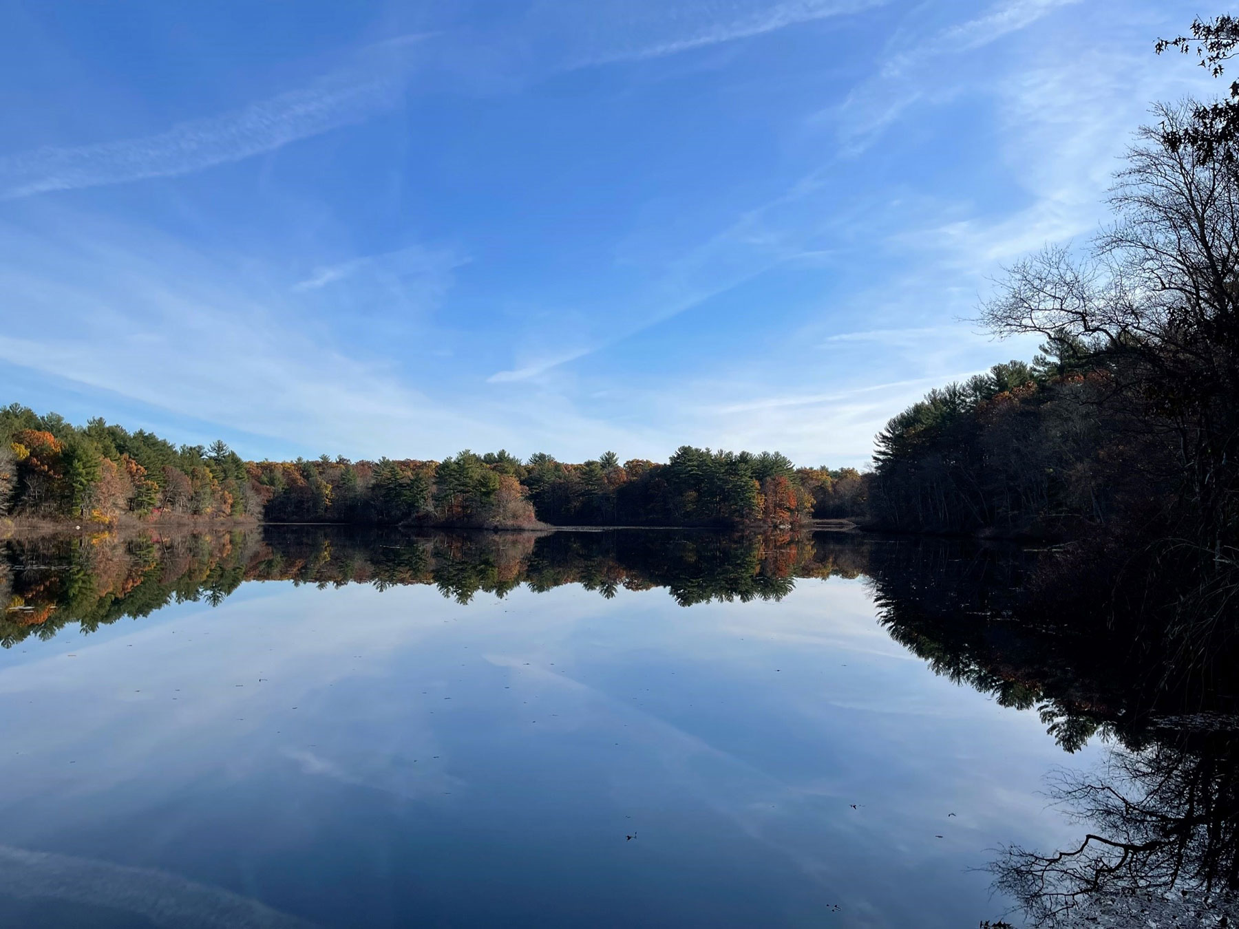
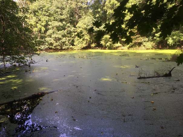
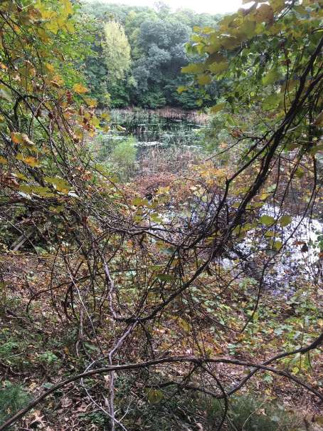
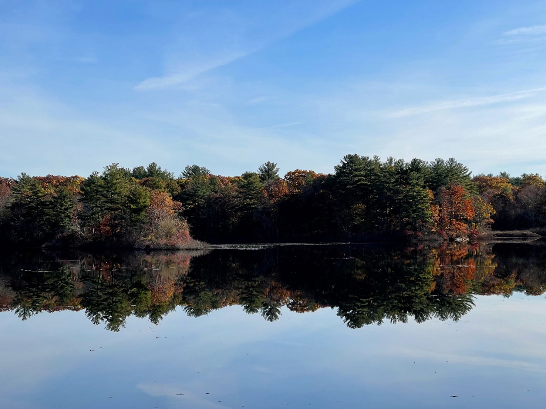
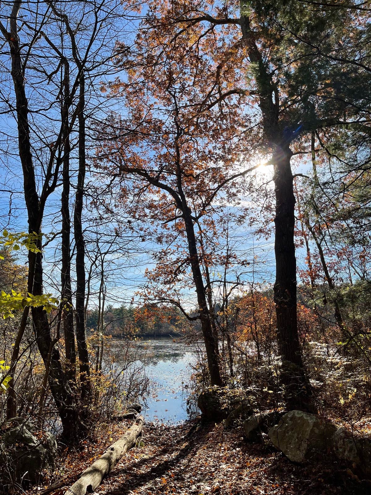
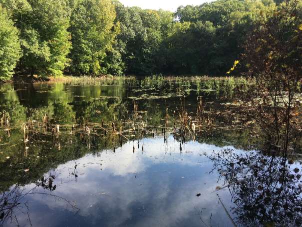
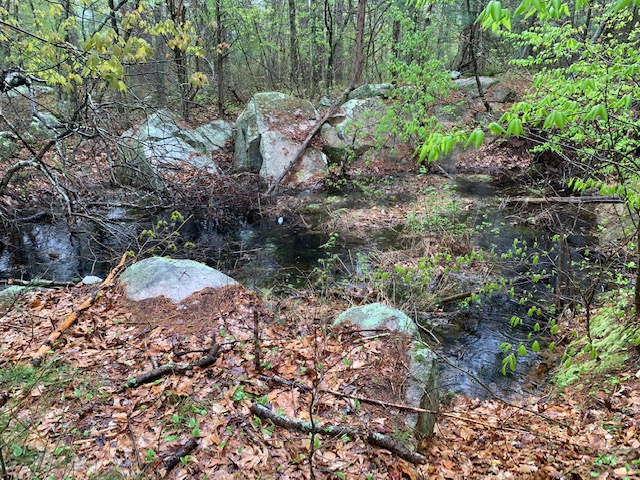
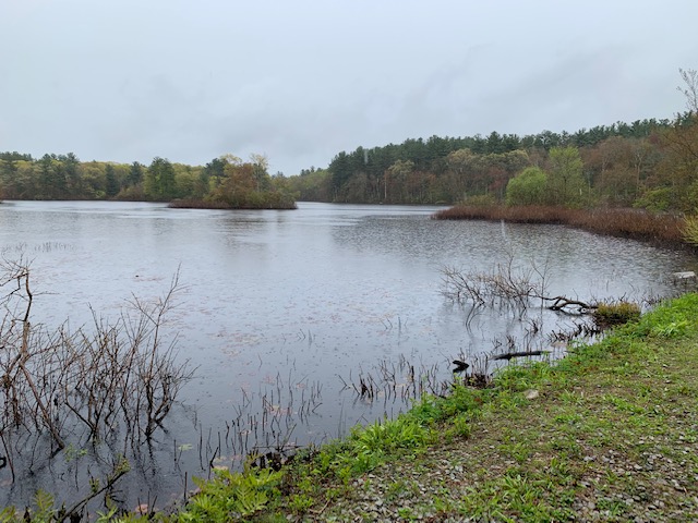
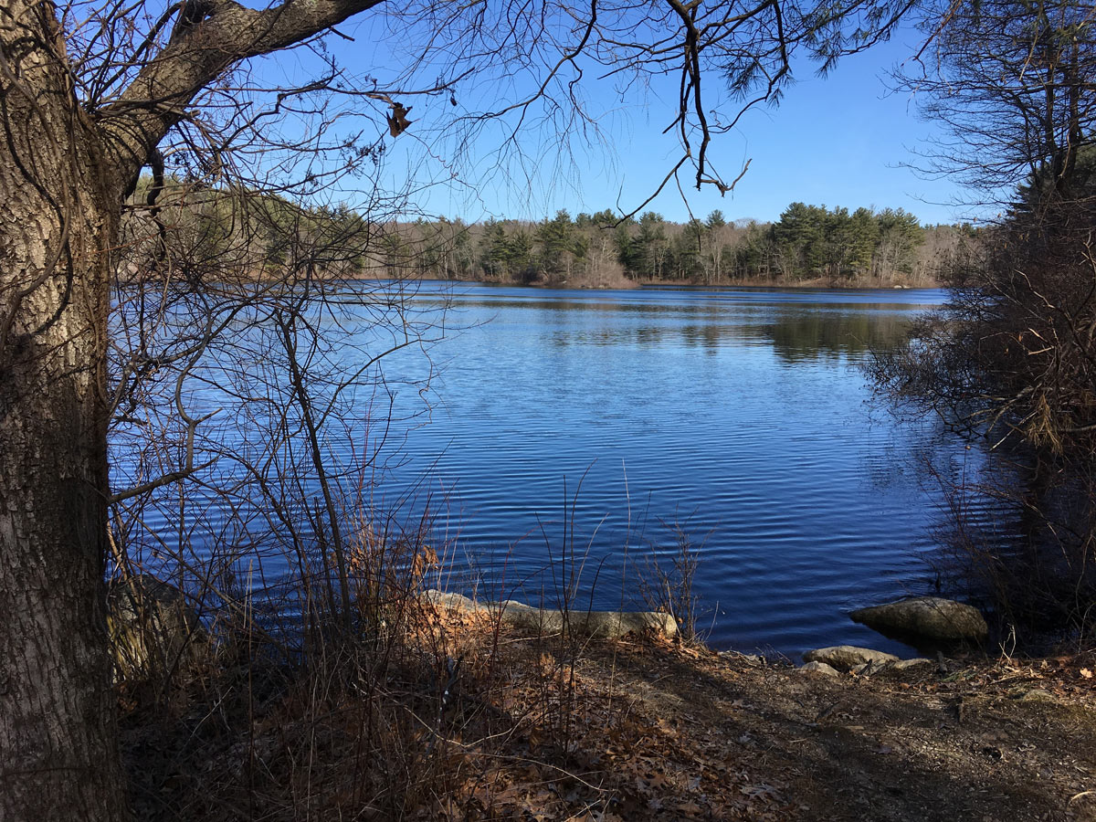
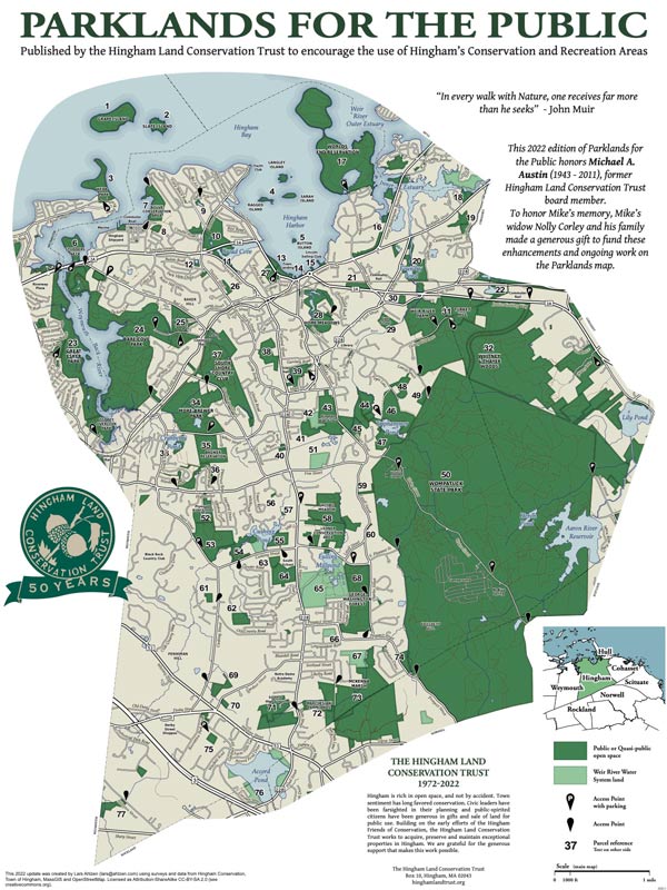
Triphammer Woods includes 14 acres of white pines, red maples, American beech, and other hardwoods, 8 acres of oak/hickory forest, and a small, wooded swamp. The forests also have some holly trees. The Triphammer Conservation Area has similar vegetation. The terrain in the Triphammer area is rocky in places, with a number of glacial erratic boulders and several rocky overlooks providing scenic sunsets, fall foliage and views of waterfowl.
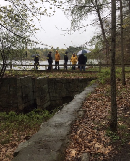
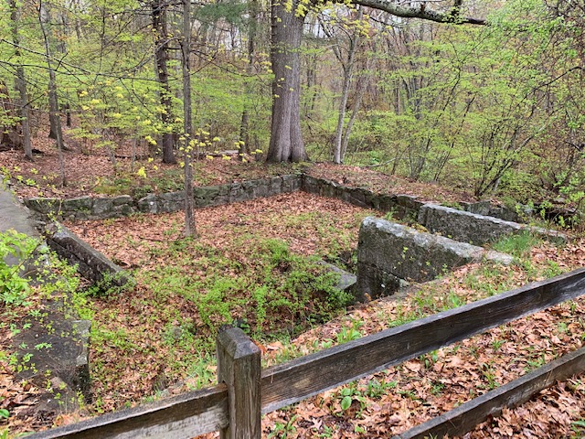
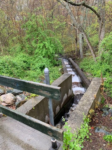
The Triphammer Pond trails provide access to multiple recreational activities. These include hiking along narrow wooded trails, views of the pond, picnic areas, benches, wildlife viewing, fishing, boating (non-motorized) and pond skating. A reconstructed old mill dam, fish ladder, spillway, sluiceway, a stone well and remnants of other historic mill features are also found at this location. Seasonal hunting is permitted on this property with a town-issued permit. Hunting is prohibited on Sundays. See the hunting pages on Hingham’s website for details.
This is one of three routes that loop Triphammer Pond. This route approaches the pond from Popes Lane. Another route approaches the pond from the driving range on Union Street and circles Schultz Field on the way to the pond. A third route approaches the pond from the Union Street entrance of Wompatuck State Park.
Access to Triphammer Pond is best obtained off of Popes Lane. A long dirt road provides access to an undeveloped parking lot and a portage area. Additional foot access can be obtained from the Leavitt Street Conservation land or the Golf Driving Range between two house lots donated by a town resident after the loss of Triphammer Lane to the public. Access is also available from Wompatuck State Park and Triphammer Woods. The conservation area is open from dusk to dawn.
Originally part of a larger farm, the 17.5-acre field behind the golf driving range, known as Schultz’s Field, was acquired by the Town of Hingham in 2003 using CPA funds. This rare 14 acres of open field, currently used for agriculture (license agreement with Hornstra Farm for hay and corn fields), are bordered by wetlands, the Weir River and Triphammer/Accord Brook. Schultz Field is best accessed through the driving range on the east side of Union Street, north of 138 Union Street and south of the Weir River.
The 1.6 -mile-long route begins at the driving range parking lot, which is located on the east side of Union Street, north of number 138 and south of the Weir River. The route goes along the Weir River to Accord Brook at the east end of Schultz Field then loops around the field back to Triphammer Pond on a trail that parallels Accord/Triphammer Brook. The route circles the pond and follows the trail from the pond along Accord/Triphammer Brook and turns left back to the driving range and the parking lot.
From the parking lot the route follows the tree line on the left (north side) of the driving range to avoid interference with golfers. At the end of the driving range, the path continues east into the woods. The trail comes to an intersection with a trail to the right and a Hingham Conservation Sign. Continue straight along the path. As you reach an open field, Schultz Field, the path continues under transmission lines and the Weir River to the left. The path continues along the Weir River and comes to a bridge on the left. Turn right toward the field and left at the edge of the farmed field. Continue clockwise around the edge of the field. The route turns right at the north end of the field. This is where Accord Brook flows into the Weir River. As the route continues around the field Accord/Triphammer Brook is on the left about 100 feet through the woods and wetlands. At the south end of the field the route turns west back to the path at the entrance to Schultz Field. The route goes left at the path back to the Hingham Conservation Sign. The route takes the trail to the left at the sign and continues to Triphammer Pond. On the left are wetlands and Accord/Triphammer Brook. On the right is private property separated from the public land by fences. The end of the trail comes to the south end of the Triphammer Pond dam and the trail that circles the pond.
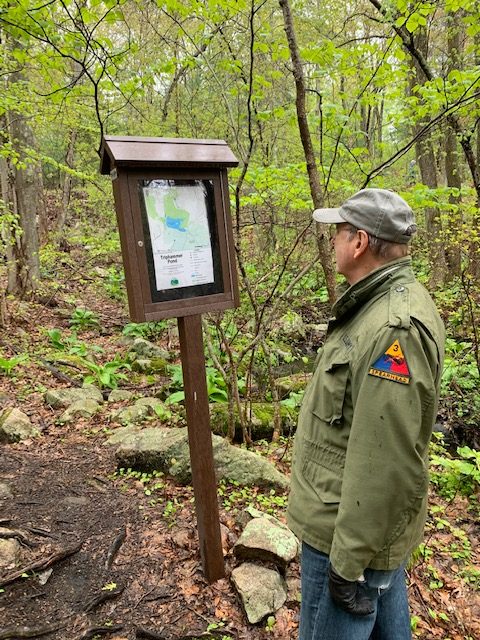
At the end of the dam on the left are remnants of the foundation for the mill building. There is also a kiosk with information on the mills located at this site. The walk continues along the trail to the right (east) and follows the edge of the pond. The trail is low lying and crosses some wet spots. As the trail nears the east end of the pond it passes remnants of a fence marking the boundary of Wompatuck State Park. The trail rises steeply. Turn left onto a short path to the main road which crosses the Accord Brook Dam on the left. At the junction with the main road go right for about 10 feet and turn left onto a short loop trail with views of the brook and former mill sites. Return to the main road and turn right and continue across the dam to the second trail on your left. Turn left down the steep incline and onto the trail. After following the trail for a short distance, you will see a map kiosk. Going forward the trail will rise and fall crossing a rocky outcrop. After a dip, the trail goes right (north) and rises to a spot for viewing the pond looking to the west. The route continues north going downhill. In a short distance the trail follows the edge off the pond to the left (west) and begins to rise. The trail follows a rocky ridge along the north edge of the pond passing a bench and then coming to an open overlook with a picnic bench. The site overlooks the pond with views of birds and beautiful summer sunsets. The trail continues along the ridge until it nears a large rocky outcrop. It then drops steeply to the shore of the pond crossing a 10 to 20-foot-long wet area. The trail rises and turns left across a boardwalk. At the end of the boardwalk on the left is a boat ramp and to the right is a parking lot. The route passes a map kiosk in the gravel parking area. The route continues down the path to the right of the kiosk to Triphammer Dam. At the beginning of the dam the path crosses over the waterway to the fish ladder. The water flows down the ladder into Accord Brook and on to the Weir River. From the dam looking left there is a panoramic view of the pond and visiting waterfowl. At the end of the dam the route turns onto the trail on the right and back along the brook to the Hingham Conservation Commission Sign. Then it turns left and follows the path through the woods and along the right (north) edge of the driving range to the Union Street parking lot.

Recommended Trail Activities: Walking, Hiking, Trail Biking Length: 1.6 Route Type: Trail (Narrow), Path (Medium) Difficulty (Grade/Surface): Moderate Parking: Minimal (1-5 spaces) Dog Restrictions: Allowed Ancillary Activities: Cross-country skiing, Snowshoeing, Birding, Fishing (license may be required), Hunting (permission may be required), Camping (permission may be required), Picnic, Natural Features, Historic Sites

