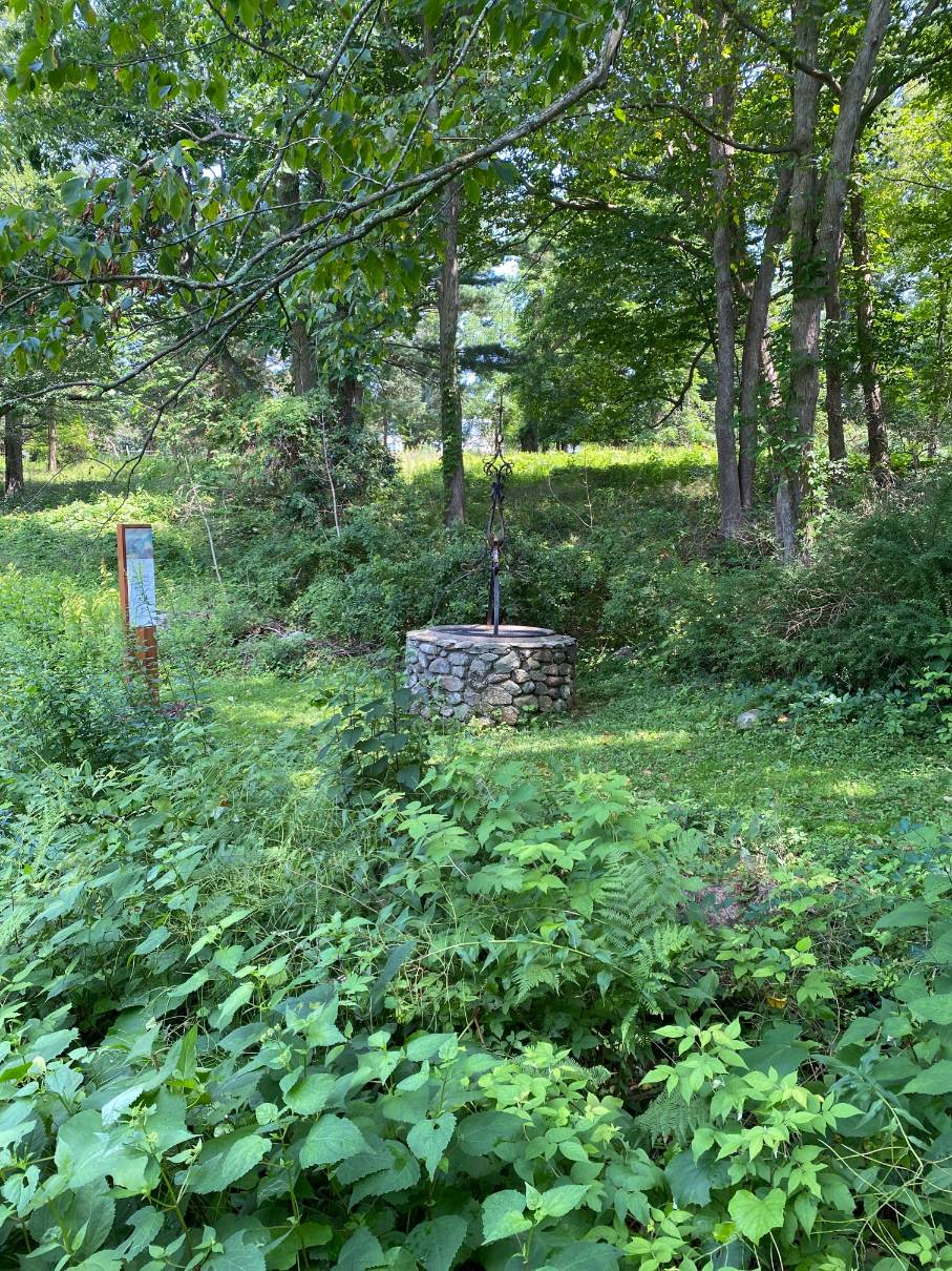
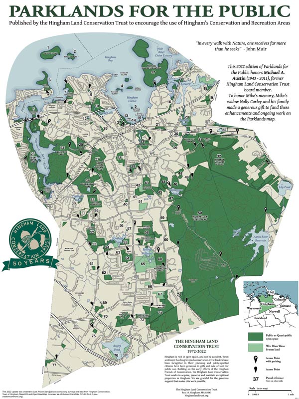
Turkey Hill is one of three contiguous properties in Hingham and Cohasset owned and/or managed by the Trustees of Reservations. The three properties are Whitney and Thayer Woods, Turkey Hill and Weir River Farm. The 62-acre Turkey Hill property is bounded by Chief Justice Cushing Highway to the north, Side Hill Road to the east, Turkey Hill Lane and Whitney and Thayer Woods to the south and Turkey Hill Lane to the west. Turkey Hill also has three separate parcels: a privately owned transmission tower at the top of the hill; a Weir River Water Company water tower. on the north side of the hill, and a privately owned nursing facility abutting Turkey Hill Lane on the east side of the hill.
The land slopes off in all directions from the 187-foot summit of Turkey Hill. The land was covered with hardwoods and pines when settlers arrived. The town meetings, or boards of town proprietors, laid out the land as common lands. The land was divided into long strips and used for logging and farming and fields for meadow and pasture. Stone walls were built to mark boundaries and clear fields.
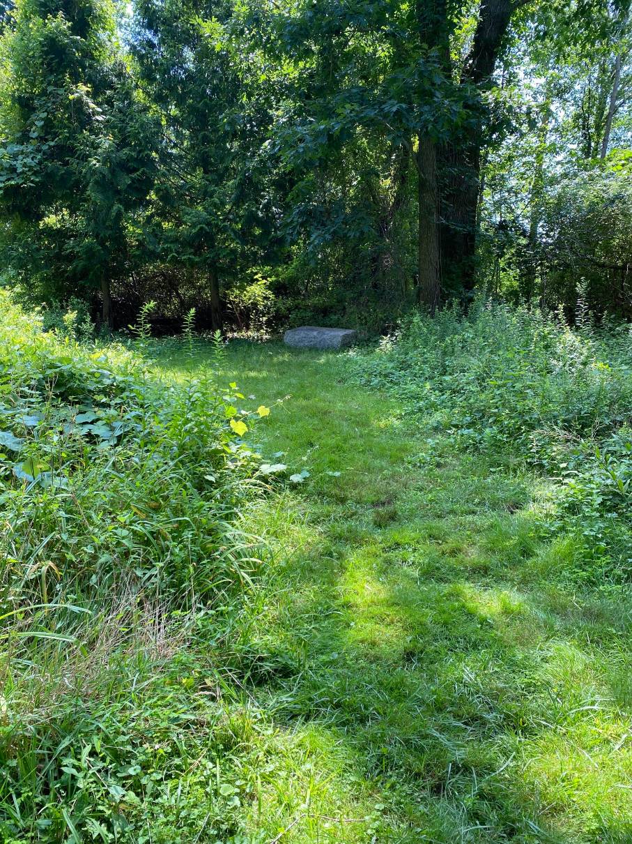
In 1770, Cohasset, which had been Hingham’s Second Parish, became a town separate from Hingham. The border between Hingham and Cohasset crosses the top of Turkey Hill and is marked by a granite post between the parking lot and transmission tower at the end of Turkey Hill Lane. The original boundary extended north to Hull Street but was modified to accommodate appeals from residents near East Street to remain within Hingham. At Turkey Hill the boundary makes a sharp turn towards the east and crosses East Street on the east side of Hingham’s skating pond. It then turns west back to the intersection of Fisher Road and Hull Street. As a result the north section of the Turkey Hill Reservation lies in Hingham.
A naval battle during the War of 1812 was viewed by neighbors of Turkey Hill. “In the war of 1812 people came to this hill on a sorrowful June day to see a famous naval duel. The British frigate, Shannon, had been cruising off Boston Harbor, and the captain sent a challenge in to Captain Lawrence, who commanded the frigate, Chesapeake, then lying at the navy yard, her crew having been paid off. The American officer gathered as good a crew as could be obtained from the sailors in port, and hurriedly set sail to meet the enemy. The encounter was off Scituate, and was very sanguinary. In the midst of it the brave Lawrence fell, mortally wounded. As they carried him below he cried, “Don’t give up the ship!” But with his fall, the Americans lost heart, and after a hopeless struggle they were forced to surrender. A sad and wretched pageant for the spectators on Turkey Hill and along the shore. (History of the Town of Hingham 1893).
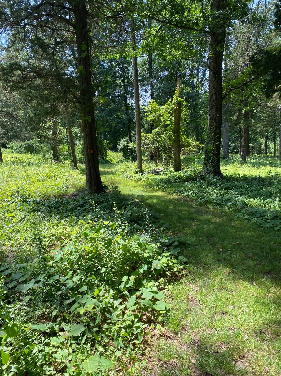
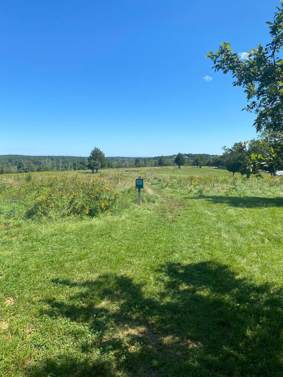
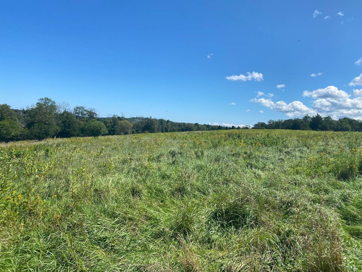
During the Cold War, an anti-missile radar control station (NIKE) was located on Turkey Hill. A cinderblock building is all that remains. Beginning in the late 1990s, the Cohasset Conservation Trust worked with The Trustees (formerly Trustees of Reservations) to purchase this property. This was made possible by a state grant, plus funds from private donors. In addition, Hingham purchased land in Hingham on Turkey Hill with support of a coalition that included the HCC, HLCT, Cohasset, Cohasset Conservation Trust, The Trustees of Reservations. In 1997 the parties entered into an agreement that provided the Trustees would manage Turkey Hill under the guidance and oversight of the Hingham and Cohasset Conservation Commissions, the Hingham Land Conservation Trust and the Cohasset Conservation Trust. With regrowth of woods from unattended fields the slopes of Turkey Hill are mostly hardwood forests. Open fields atop Turkey Hill are mowed annually and otherwise maintained as an ongoing effort to restore grassland bird species, including bobolink and meadowlark. The 187-foot summit of the Turkey Hill drumlin affords spectacular views of Cohasset Harbor to the east, the Boston skyline and the Harbor Islands to the north and the Blue Hills to the west.
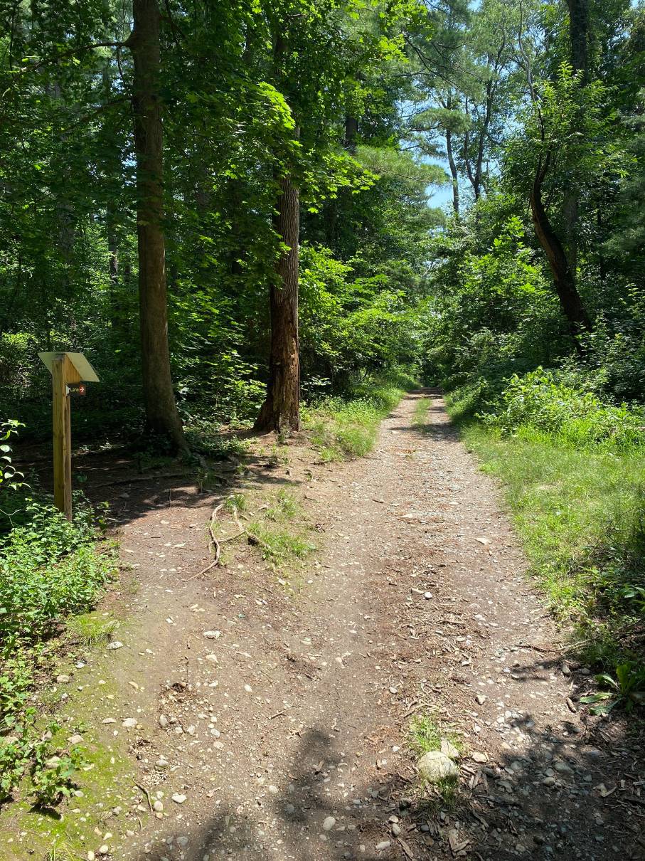
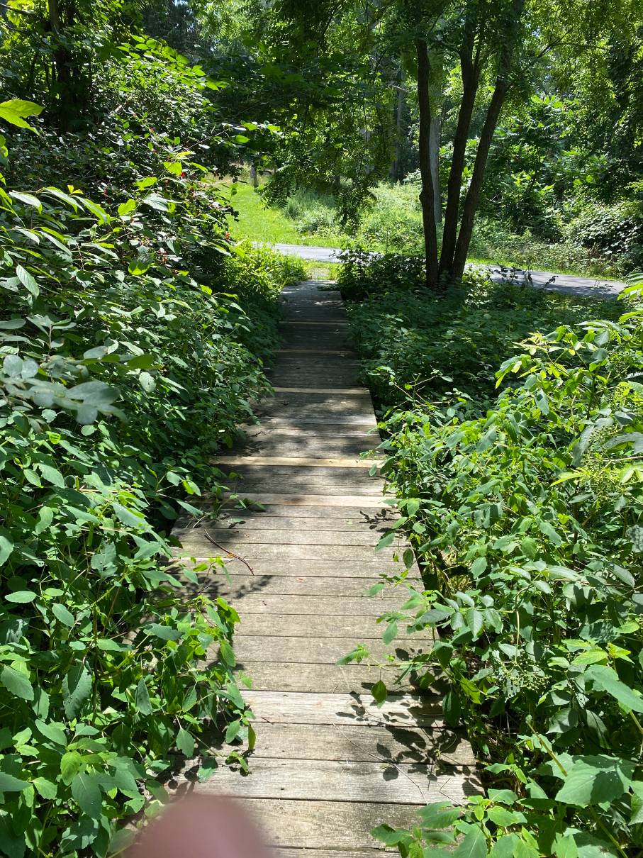
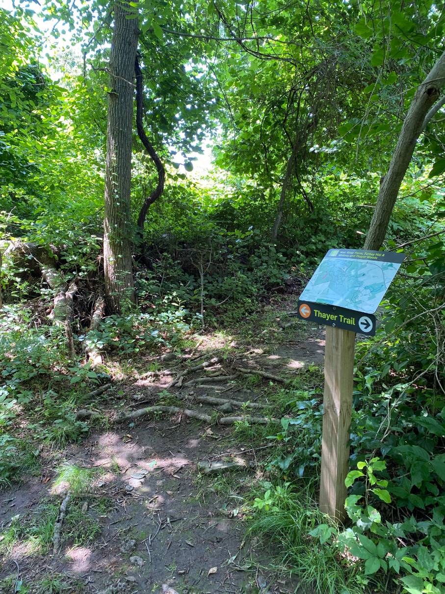
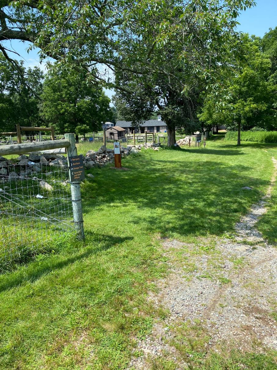
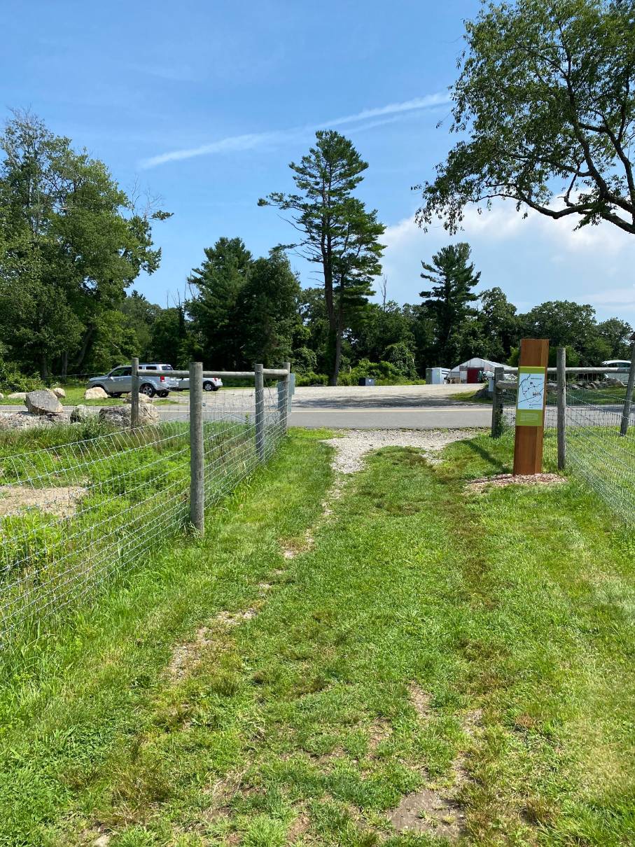
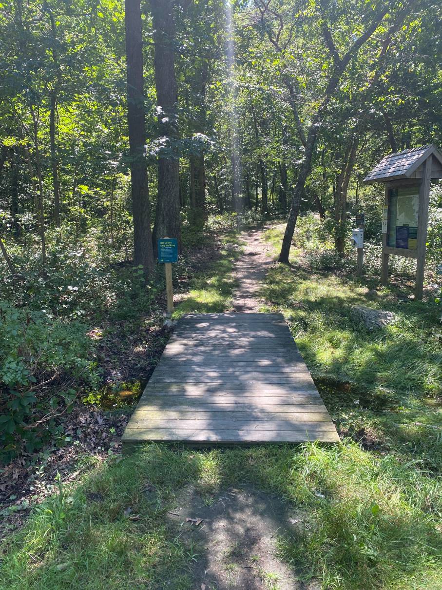
From the Route 3A entrance at 173 Chief Justice Cushing Hwy , the 0.7 mile route from the parking lot follows a trail up to the top of Turkey Hill. The trail begins at the parking lot and goes uphill crossing a culvert. It then turns right at the first fork. The route continues to the right through woods and emerges at the northeast side of a meadow.
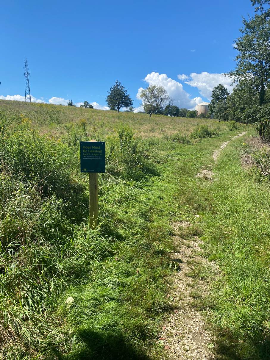
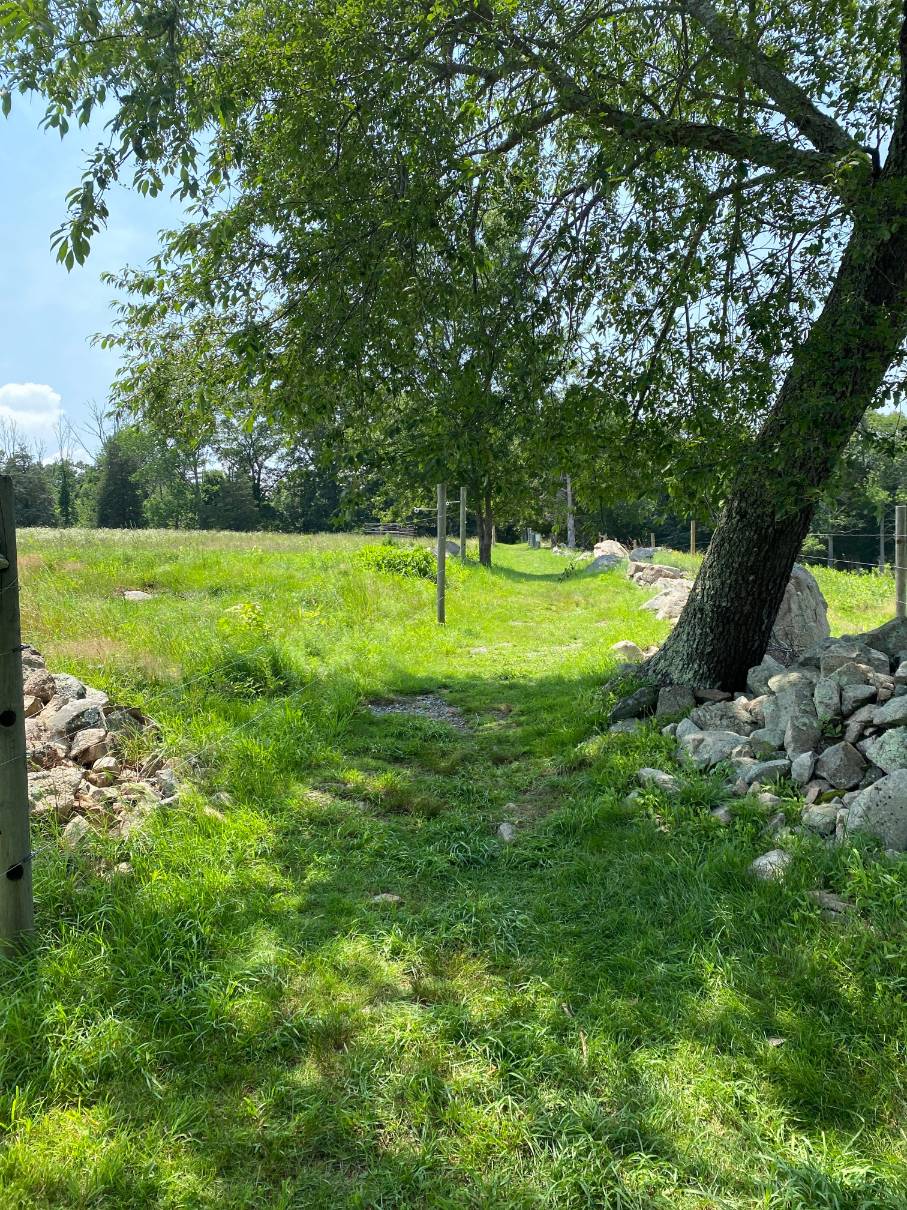
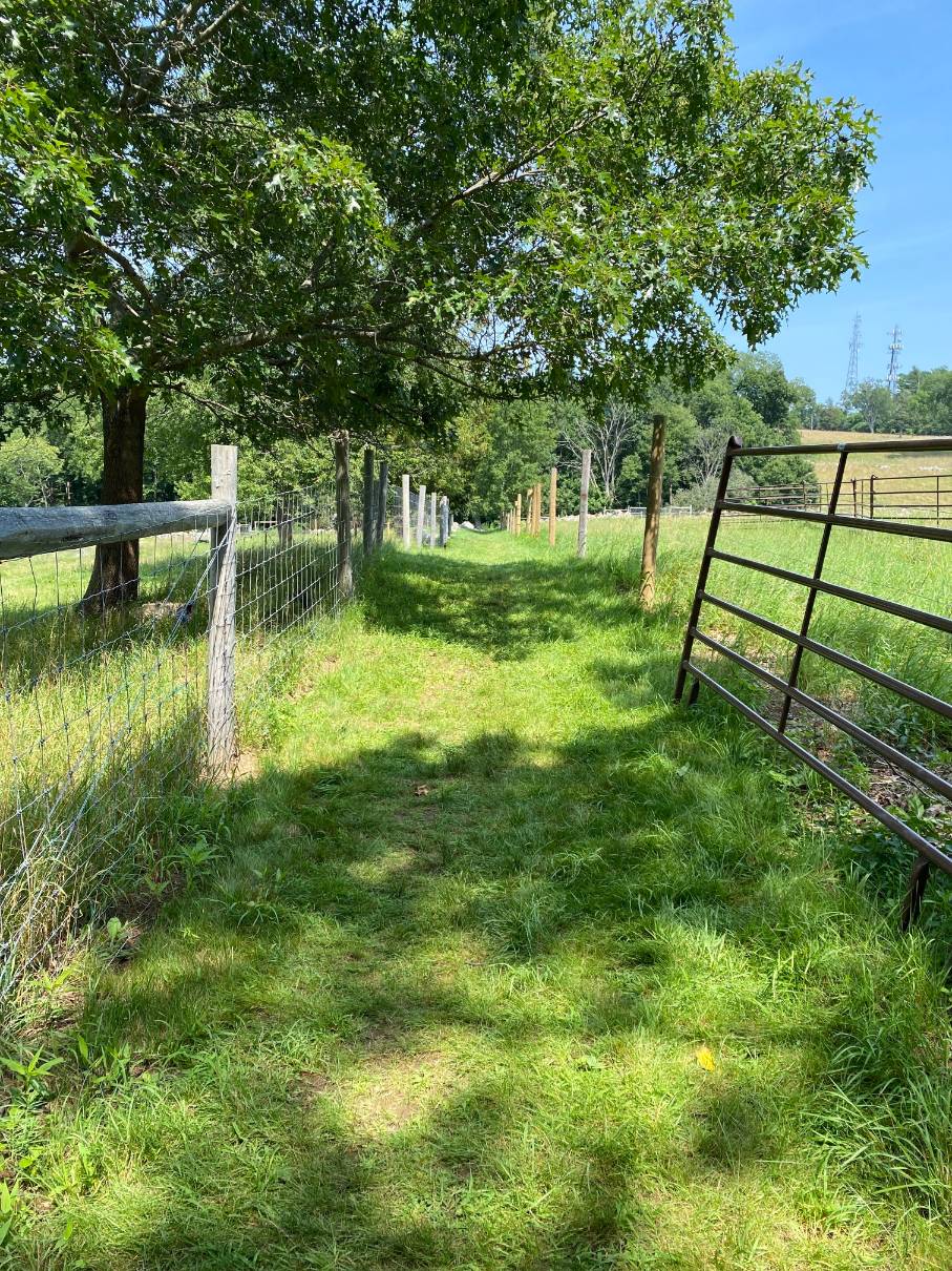
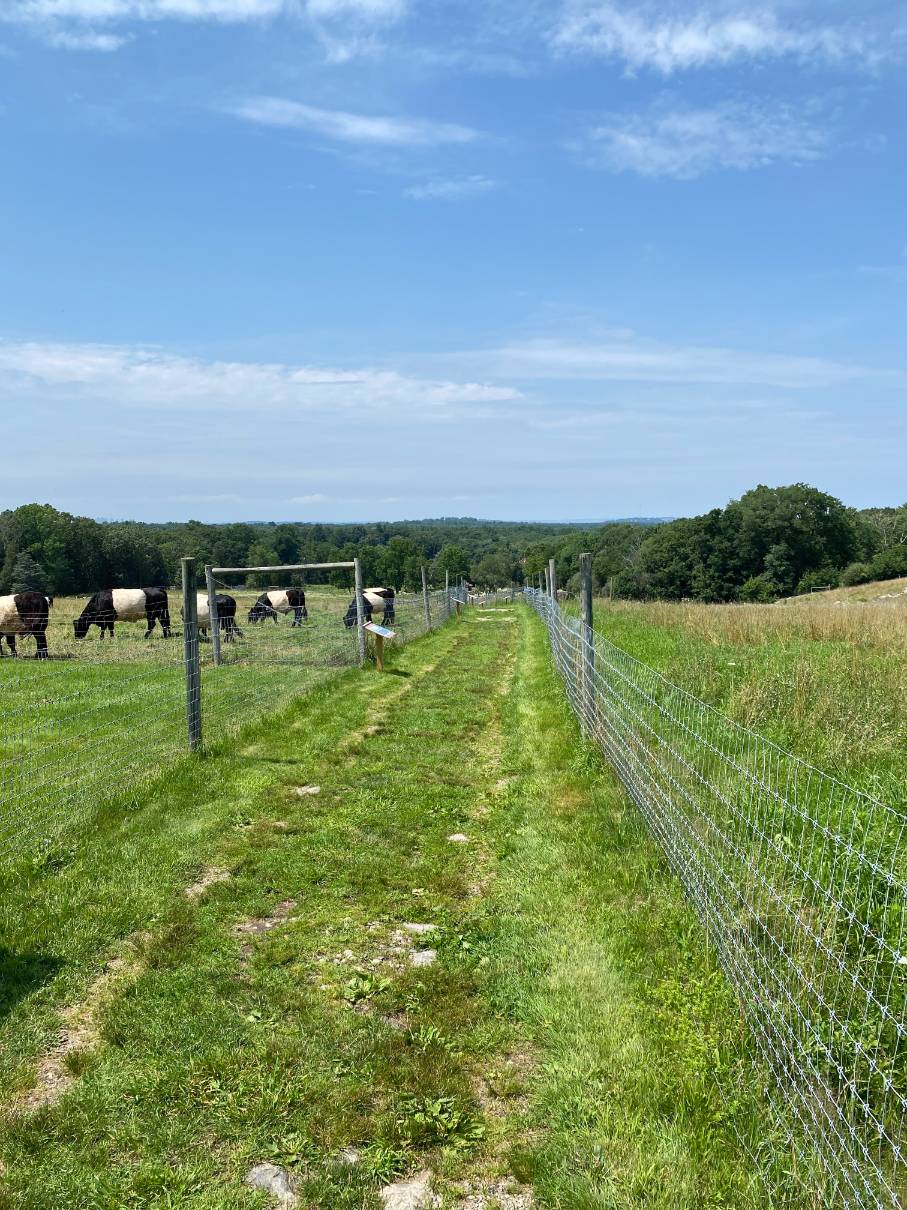
Continuing up the edge of the meadow there are 2 parallel trails. The upper trail is a narrow grass trail. The route follows the lower trail which is wider and covered with stone and grass. This area can get very wet and muddy after a rain. The trail comes to a post and wire fenced-in enclosure and turns left along the fence line. The trail follows the fence with the fence on the right to the top of the hill and ends at a parking lot off Turkey Hill Lane. At the peak of Turkey Hill are scenic views of the ocean and Boston skyline to the north. Nearby to the right is the ranger’s house and beyond that a water tower. Straight ahead is Weir River Farm and Turkey Hill Lane. To the left of the parking lot is a granite post marking the boundary between Cohasset and Hingham established in 1770 when Cohasset separated from Hingham. The land to the north and west of this marker is in Hingham and the land to the south and east is in Cohasset. Just to the left of the marker are transmission towers on privately owned land. Land on both the north and south sides of the town boundary is a former U.S. Nike Base. The walls of a building off to the left remain from use of the land as a military base.
The route turns left (northeast) at the Nike building and follows a mowed trail marked with red blocks along the southern edge of the meadow. At the eastern end of the meadow the trail splits with the red markings going right and an unmarked mowed route turning downhill to the left. The route continues downhill to the north with the meadow on the left and trees along the right. At the bottom of the meadow the trail turns left and follows the north side of the meadow back to a short trail on the right which links to a lower parallel trail. The route turns right onto the short link and right again onto the parallel trail. The route continues downhill through the woods to the intersection with another trail. The route then turns left and continues down the trail to the parking lot on Chief Justice Cushing Highway.

Recommended Trail Activities: Walking, Hiking, Trail Biking Length: .7 Route Type: Trail (Narrow), Path (Medium) Difficulty (Grade/Surface): Moderate Parking: Limited Dog Restrictions: Allowed Ancillary Activities: Cross-country skiing, Snowshoeing, Birding, Hunting (permission may be required), Natural Features
