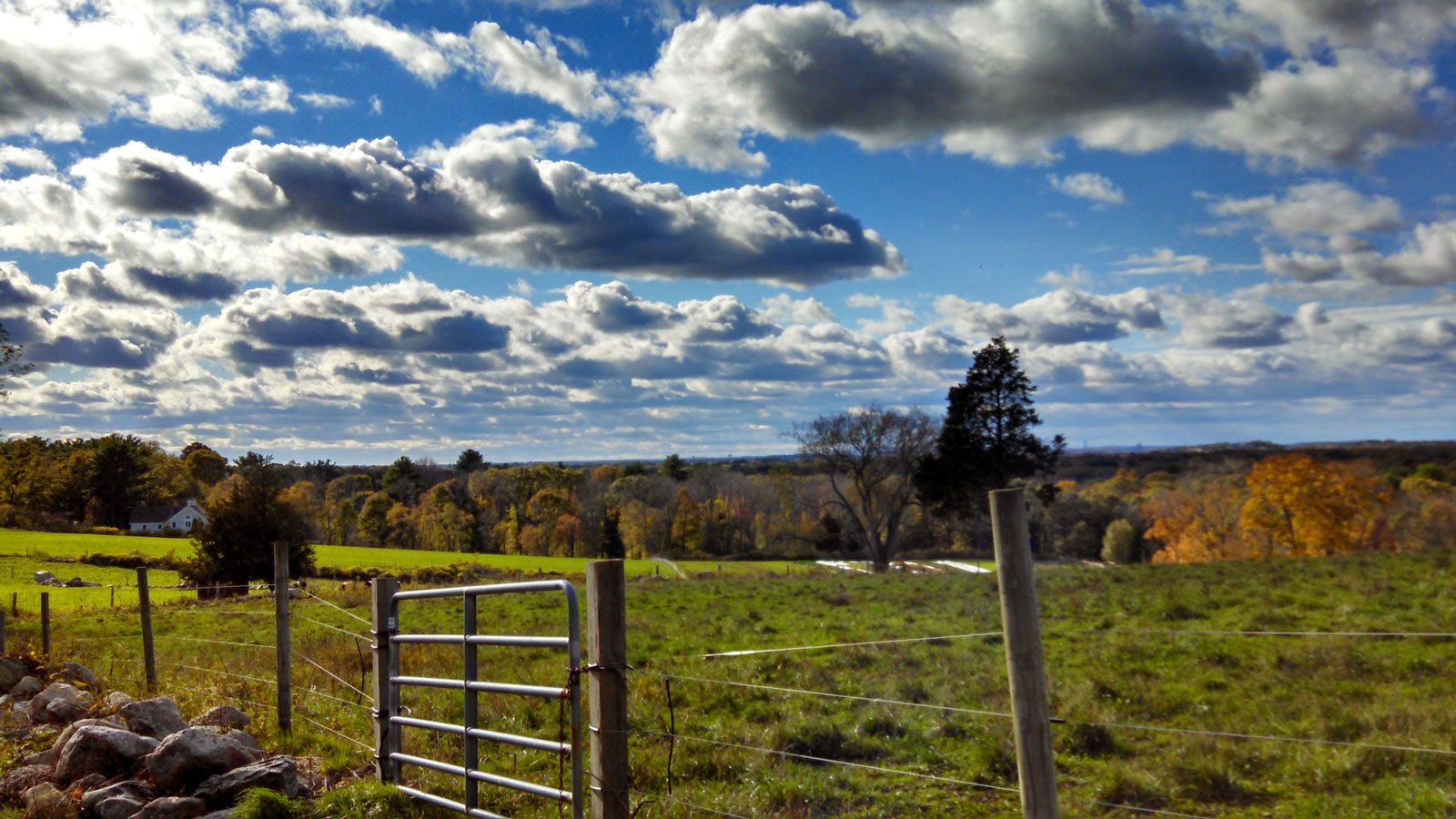
Weir River Farm is one of three contiguous Trustees of Reservations Properties in Hingham and Cohasset. The Weir River Farm property is generally bound by Turkey Hill Lane on the south, private property and the Weir River on the west, East Street and Elizabeth Lane on the north, and woods on Turkey Hill on the east. The hillside property slopes from the top of Turkey Hill at its southwest corner down towards the Weir River on its northwest corner. Much of the land is open fields with woods on the west side and in the northeast corner. There are farm buildings and a farmyard in the north center of the property with pastures enclosed by post and wire fences. The fields and pastures are surrounded by oak and red cedar woodlands. The Weir River passes through the northwest edge of the property. Its course begins on the south side of Hingham, at Accord Pond and flows through town, and ending at Foundry Pond and the Weir River Estuary between Hingham and Hull.
Originally the farm was part of the picturesque early-20th-century country estate of Polly Thayer Starr, whose paintings and drawings were exhibited at museums in Boston, New York, and Philadelphia for more than 70 years. Starr donated the property to The Trustees in 1999.
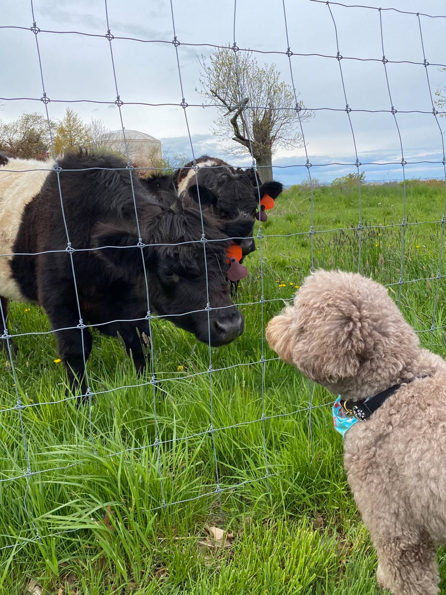
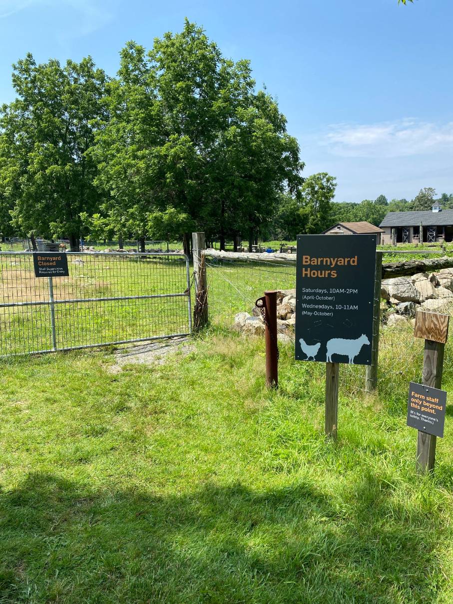
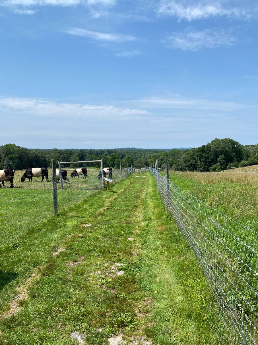
Weir River Farm is a working farm with resident livestock including a small number of horses, cows, pigs, sheep, and chickens. The fields are mowed annually and otherwise maintained as an ongoing effort to restore grassland bird species, including bobolink and meadowlark. A family-friendly farm with walking trails and beautiful landscapes. The barnyard is open seasonally.
In cooperation with the Town of Hingham, authorized bow hunting (in season) is permitted from ½ hour before sunrise all day until ½ hour after sunset Monday through Saturday. Hunting is not allowed on Sundays. Signage posted at the property lists safety precautions, requirements, and rules. For more information on Weir River Farm you can go to the Trustees of Reservations website.
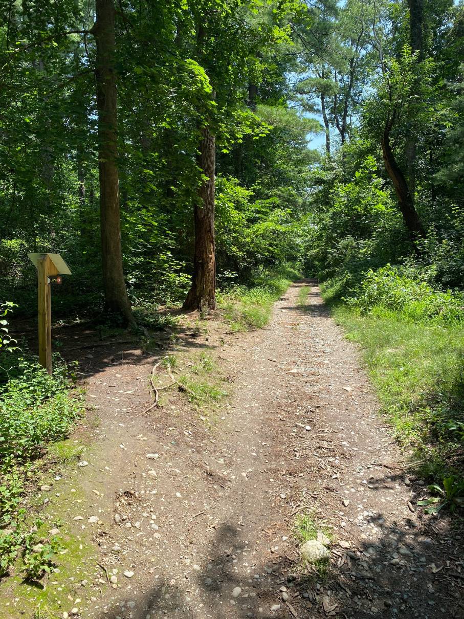
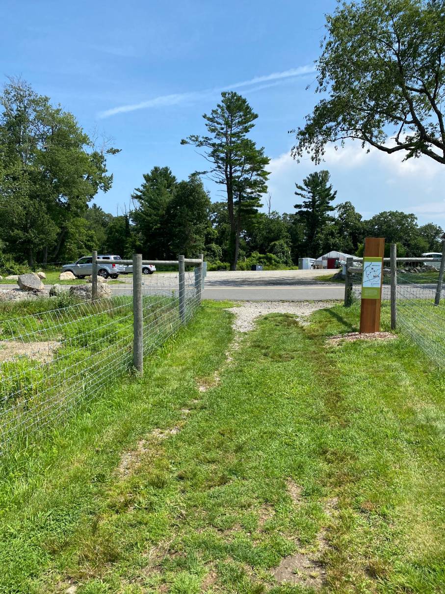
The trail walks begin at Turkey Hill Lane. Driving up Turkey Hill lane a parking area is located on the right after passing an open field. The trail entrance to Weir River Farm is on the left. Both the entrance to the parking lot and the farm are marked with an orange block.
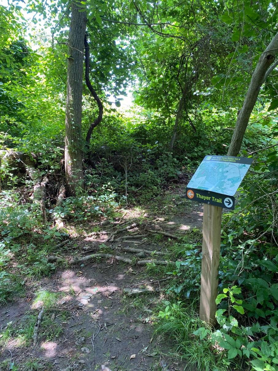
The 1.5 mile Loop Route begins at the parking lot on the right side of Turkey Hill Lane and makes a clockwise loop around the Weir River Farm property. The route follows Thayer Trail (indicated by square orange trail markers on trees and posts) then loops through a grove, along the Weir River, passes along the edge of the farmyard, up to Turkey Hill and along trails back to the parking lot.
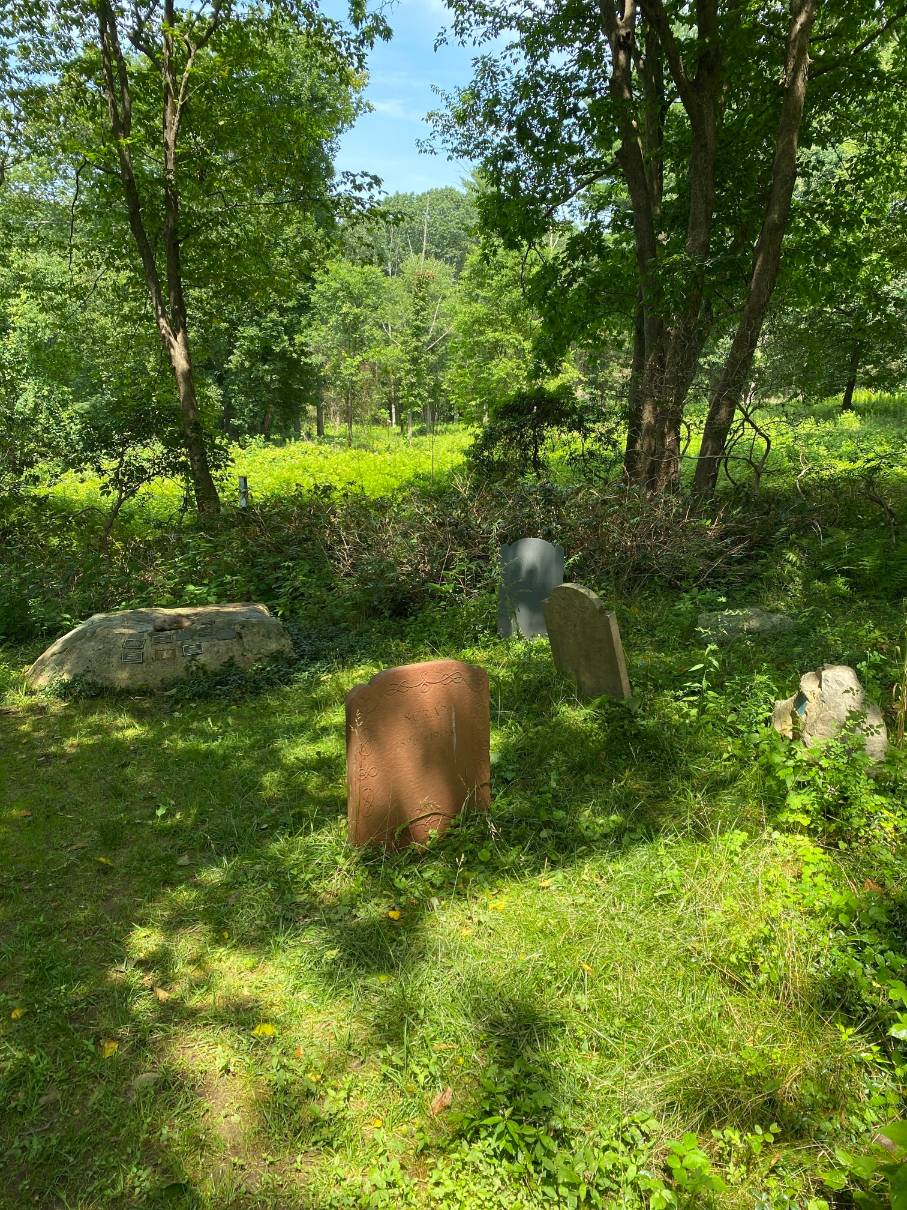
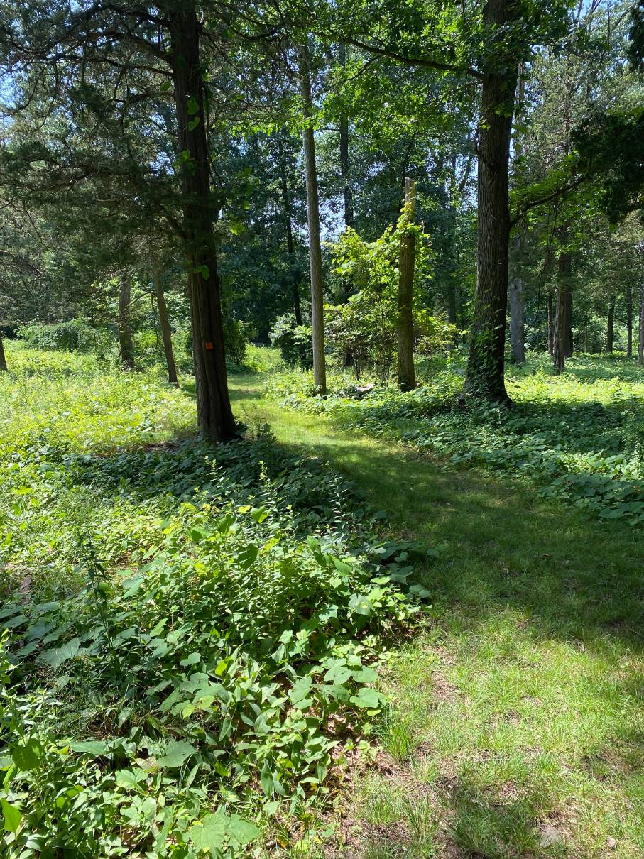
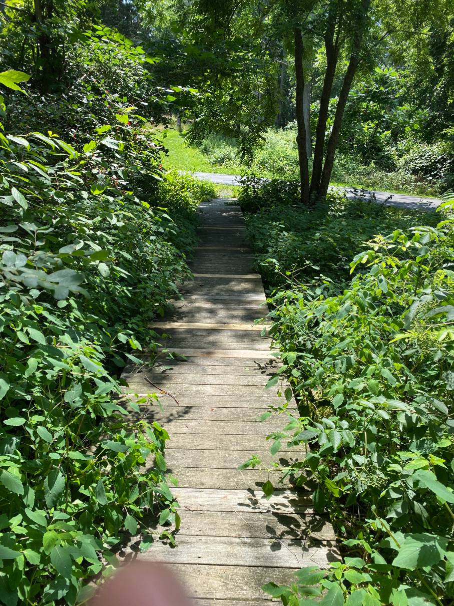
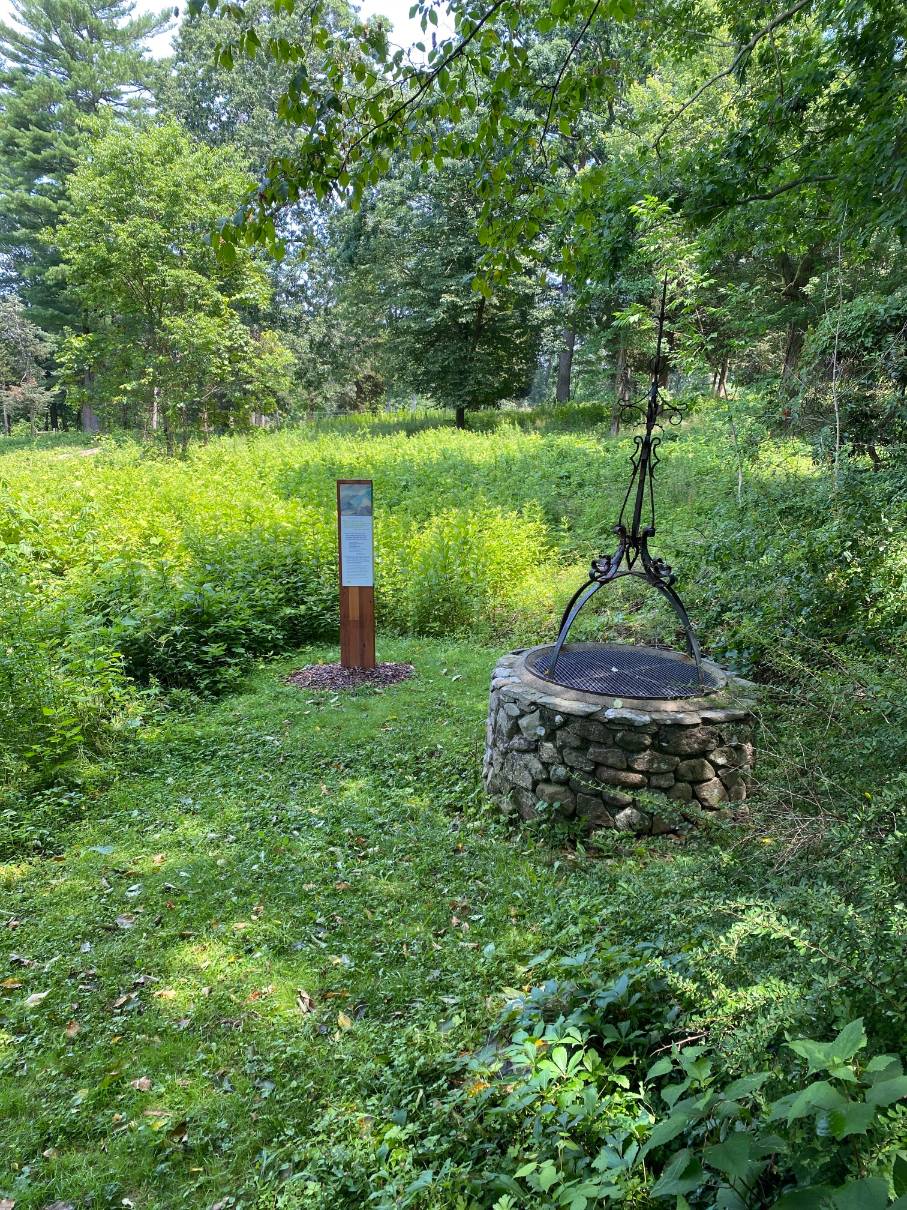
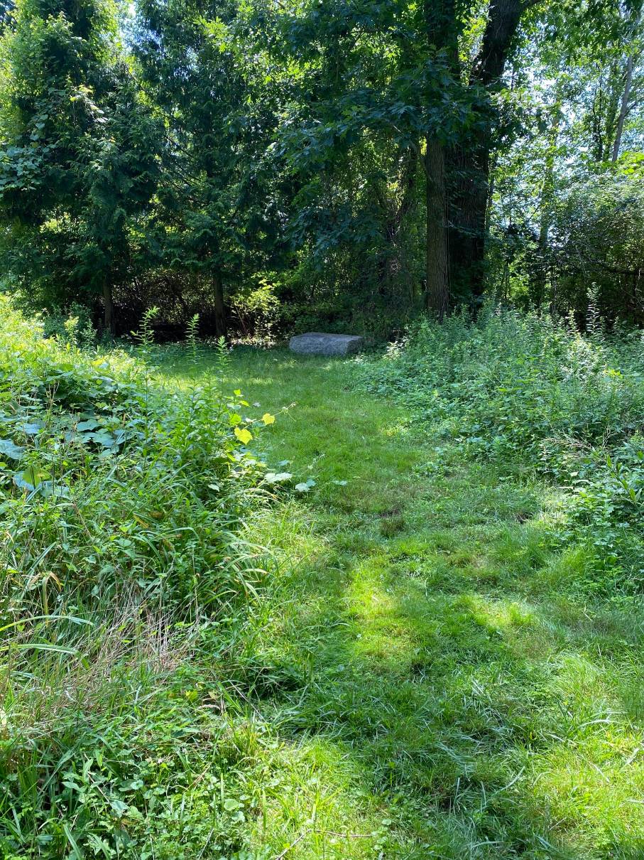
From the parking lot, the route heads away from Turkey Hill Lane towards a trail entrance marked by a post with an orange square marker and a sign that says “To Thayer Trail.” The trail passes a fenced area of community gardens on the right and a plastic covered hen house on the left. When you come to the junction with Thayer Trail, turn right. Thayer Trail, which leads to a crossing of Turkey Hill Lane, is rocky and wet in some spots. At Turkey Hill Lane, the route passes through a stone wall with orange markers and follows a pedestrian path over a lawn, with Pat Roche Hospice Home, a brick building, on the right. The route goes downhill across the lawn passing the back of a terrace with a puddingstone retaining wall. The route continues toward the orange block marker at the left rear corner of the yard. From this point, the trail can be very wet and muddy after raining, so it is best walked in dry weather. The route continues downhill through a grove on the Weir River Farm property to a small pet cemetery with stone grave markers, on the right. Shortly after the cemetery there is a well on the right side of the trail. A little further on, there is a boardwalk over a stream where another trail comes in on the right. Do not turn right but continue straight down hill towards the Weir River. Shortly after the junction, there is a spur to the left which leads to a clearing with a granite memorial bench which is dedicated to Ethel Randolph Thayer. The route continues left at the next split and left again at the next junction. On the left there is a bridge across the river leading to private property. The bridge, which is sometimes used for fishing, is blocked by a yellow chain. Continuing with the river on the left, the trail comes to another split, with a second bridge on the left. The route turns right, uphill at this split.
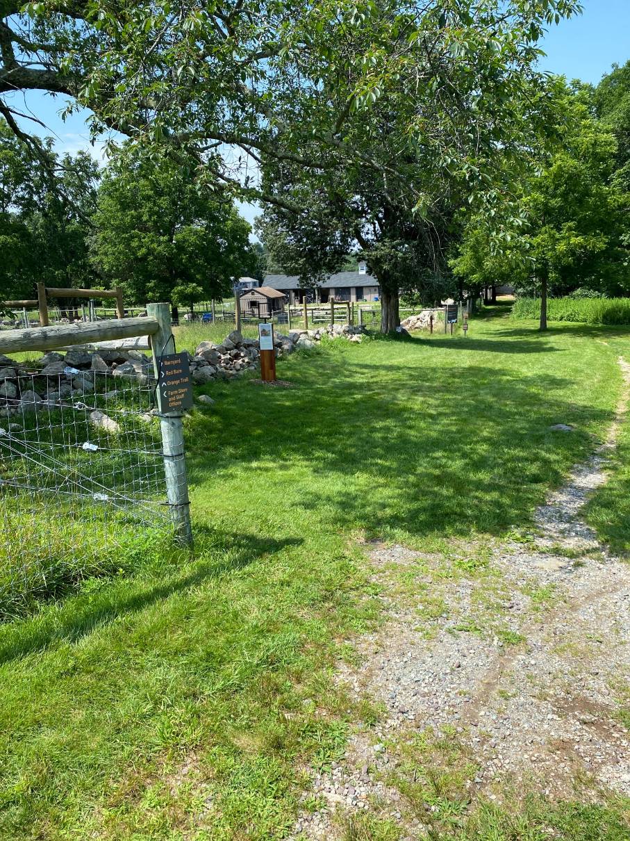
After a short uphill rise the route turns right onto a paved road. The road goes through the Weir River Farm, connecting the East Street Entrance to Turkey Hill Lane. On the left of the road is a post and wire fence enclosing a paddock. The route follows the road along the fence until the fence turns left and a second road from the left joins the main road. At this location the route turns left onto the merging road towards another post and wire fence along the western edge of an enclosed paddock. The road comes to another fence with a gate leading into the Weir River Farm property and at that point the route turns right and follows a trail uphill along the fence. The trail ends at a path that runs perpendicular to the trail.
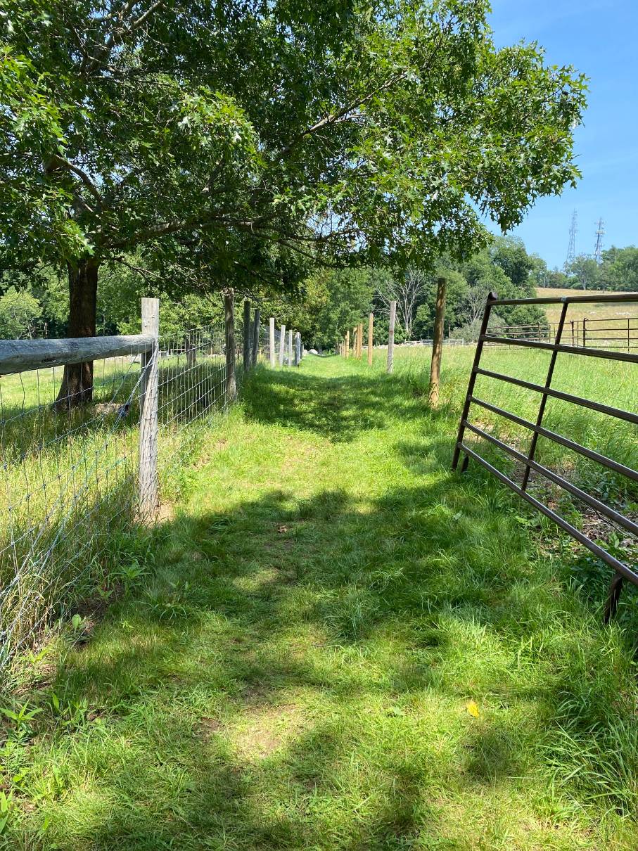
The route turns left onto the path. The path is enclosed on each side by post and wire fences. The fences enclose pastures on either side of the path. Continuing on the path, the route comes to a junction with a path on the right. The route goes straight past the turn and follows along the post and wire fence on the right side of the trail. The trail continues through rock covered lowlands, which can be wet and muddy after rain, and uphill along the fence with woods on the left. The trail goes through a stone wall, curves right and continues uphill past a cedar grove. Approaching the top of the rise the trail follows the fence to the right and goes past a water tower, next to a road and past a ranger’s house. At the top of Turkey Hill the trail comes to Turkey Hill Lane with a parking lot, a Hingham-Cohasset boundary marker and transmission towers on the left. The route turns right onto Turkey Hill Lane and, in about 50 to 100 feet, turns left onto One Way Lane. One Way Lane is identified by a gate and a small area for parking. The route goes downhill, across a culvert and up a small rise to a trail crossing. The route turns right at the trail crossing and leads back to the orange trail and a right turn into the parking lot.

Recommended Trail Activities: Running, Hiking Length: 1.5 Route Type: Trail (Narrow), Path (Medium), Road (Wide) Difficulty (Grade/Surface): Moderate Parking: Adequate Dog Restrictions: Allowed Ancillary Activities: Cross-country skiing, Snowshoeing, Birding, Fishing (license may be required), Picnic, Natural Features
