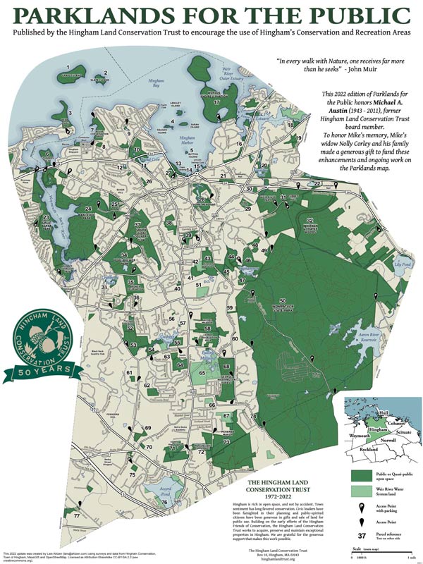
After the decline of agriculture in this area, but before the arrival of the subdivision, much of the Whitney & Thayer Woods was dedicated to equestrian pursuits. Henry Whitney purchased some of the former-farms and created the bridle paths and carriage roads that are still in existence today. It’s easy to imagine a horse-drawn buggy making its way along some of the wider trails. Henry Whitney, who in 1887, owned the West End Street Railway, the largest public transportation company in the world is known as the driving force behind construction of the Tremont Street Subway, the oldest subway in the country. The Whitney Woods Association, a horseback-riding group, eventually took ownership of 600 acres. In 1933 this was donated to The Trustees. This reservation has since been enlarged by other gifts, including 23 acres from the late Mrs. Ezra Thayer. 114.5 of the 824 acres in this forested area are in Hingham. Land acquisition from various sources continued as late as 1999. For more information on Whitney Thayer you can visit The Trustees of Reservations website.
Whitney & Thayer Woods borders Wompatuck State Park, providing a stretch of unbroken woodland more than four miles long with twelve miles of trails. A small area of the property between Turkey Hill Lane and Wompatuck State Park lies in Hingham. Access to this area is from an entrance across from 241 Leavitt Street in Hingham.
The 1.4 mile route begins across from 241 Leavitt Street. There is room for street side parking for a few cars on the north side of the street. The route enters Whitney & Thayer Woods and makes a clockwise loop up James Hill Lane turning right onto One Way Lane at the Cohasset border. The route turns right onto the Whitney Spur Rail Trail going back into Hingham and Wompatuck State Park. Upon entering Wompatuck the route makes several right turns and returns to James Hill Lane. Turning left on James Hill lane the route returns to Leavitt Street. This route can be very wet and muddy after a rain.
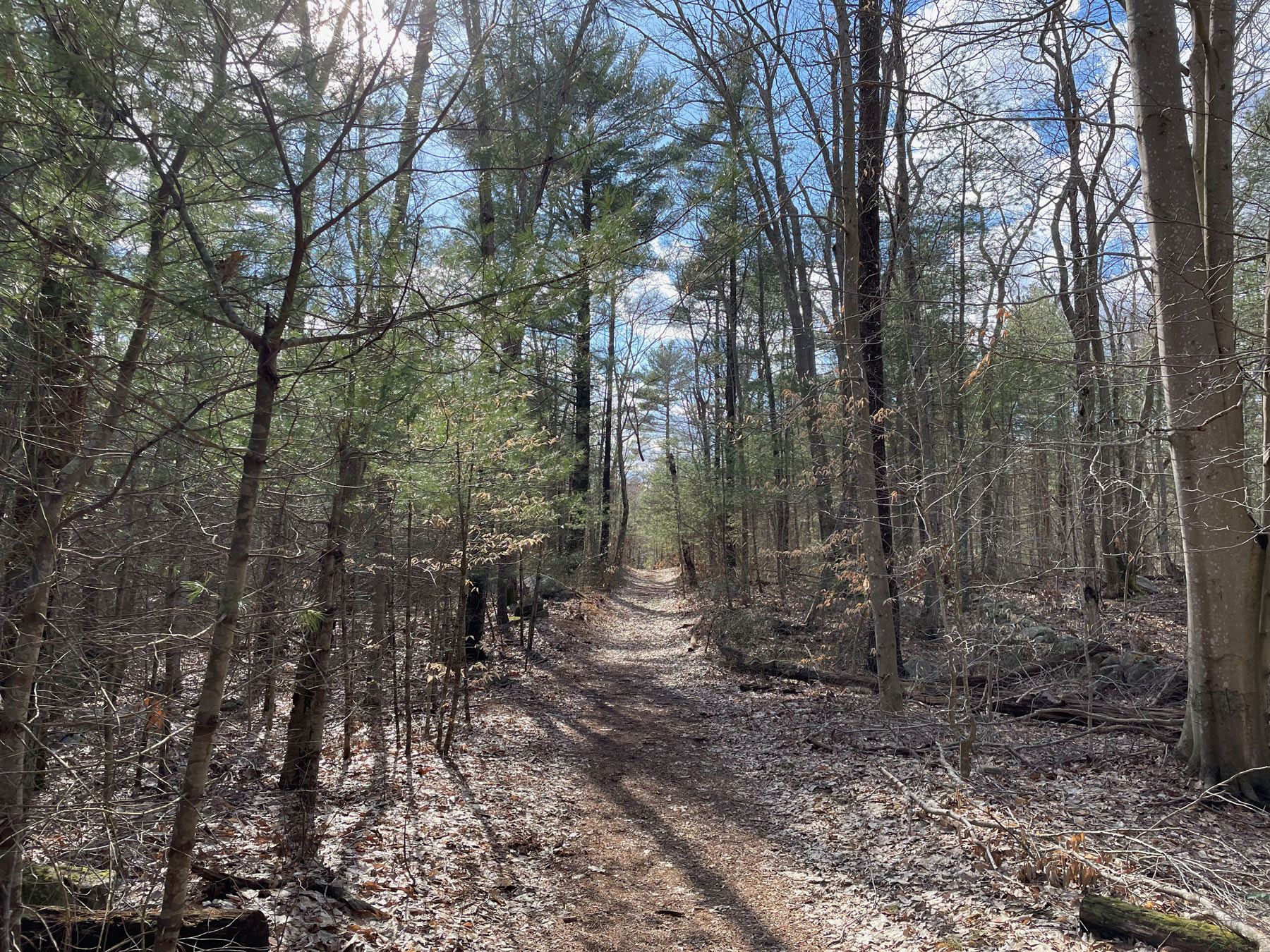
From the Leavitt Street entrance the rocky path goes by a pool, a stream and up a rocky hill. The path continues past a dead end trail on the right and goes down hill past pine trees and more rocky hills. On the right of the path is a chain link fence, marking the border of Wompatuck. There is a hole at the north end of the fence with a trail leading into Wompatuck. Continuing on James Hill Lane, the rocky path becomes smoother with pine trees above. There is a Whitney and Thayer Woods gate across the path. A short distance past the gate the path intersects with One Way Lane. This location, which is the border between Hingham and Cohasset, has a map kiosk and trail marker 17. The route bears right onto One Way Lane for a short distance to the Whitney Spur Rail Trail. The route goes right (south) on the rail trail. The wide rail trail has a stone dust surface with rocks and pine trees on either side. As the rail trail enters Wompatuck it passes through wetlands, which form the source of Brass Kettle Brook. The brook flows west into Lily Pond (formerly Scituate Pond) in Cohasset and into Bound Brook. Bound Brook flows past the Mordecai Lincoln Mill at the Cohasset-Scituate Boundary and into Cohasset Harbor. At trail marker NN7 the route turns right (west) onto a grass road that immediately changes to a worn paved surface (note the junction marker faces away from the direction of the route and is about 50 feet before the turn, making it difficult to see). The route goes from the paved road up onto and across a concrete slab foundation for a former ammunition depot structure, and then, at the far end of the slab, drops back down onto a forest trail on the left. The trail follows an abandoned rail bed and turns right at junction NN6 onto a narrow, rocky, root covered trail. The route turns again onto another trail at junction marker NN5. This section of the trail is steep and rocky. The trail goes uphill through the woods and a hole in the chain link fence back into Whitney & Thayer Woods to an intersection with James Hill Lane. The route goes left on James Hill Lane and returns to the entrance on Leavitt Street.

Recommended Trail Activities: Walking, Hiking, Trail Biking Length: 1.4 Route Type: Trail (Narrow), Path (Medium) Difficulty (Grade/Surface): Moderate Parking: Minimal (1-5 spaces) Dog Restrictions: Allowed Ancillary Activities: Cross-country skiing, Snowshoeing, Birding, Hunting (permission may be required)


