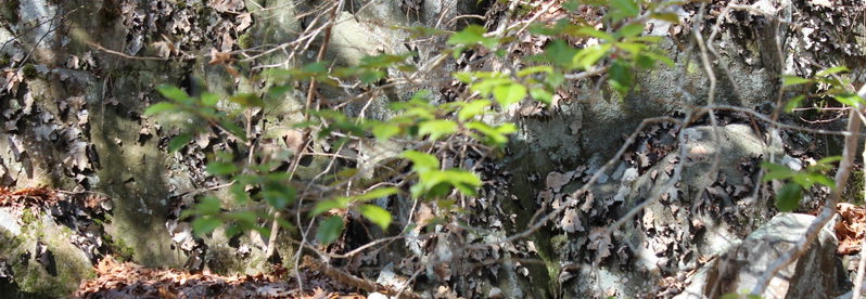
The property presumably got its name from the presence of whortleberries. Whortleberry is a common name for vaccinium myrtillus or European blueberry, a species of shrub with edible fruit of blue color Other common names for the plant are “bilberry”, “blaeberry”, and “wimberry”. It has much in common with the American blueberry.
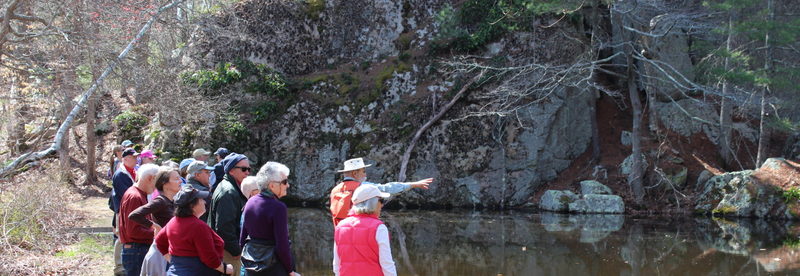
Public footpath access to Whortleberry Hollow is from granite steps at Hingham Land Conservation Trust sign at 430 Cushing Street. There is limited parking off the west side of Cushing Street across from the entrance.
The entrance at 430 Cushing Street is marked by a Hingham Land Conservation Trust sign and granite steps leading up to a path bound on both sides by a split rail wooden fence. At the other end of the fence enclosed path are a few steps down to a trailhead area. The area has two sign kiosks, which contain maps and information about the property. The route continues to the right downhill to a T intersection with a loop trail. You can go either way and there are arrows pointing to the right. However for this route turn left and follow the loop through the woods around the hollow at the center of the property. On the right of the trail is the low-lying hollow and on the left is a wooded slope that goes uphill to private property. The trail comes to a map kiosk and a bench with a side trail to the left. The route then turns left down the side trail. The trail continues through woodlands with hills on the left and low lands on the right. The trail reaches a junction with one trail going straight and one trail turning right. The trail going straight comes to a dead end at private property and is not included in the walk. The route follows the trail to the right across a stream crossing and over a boardwalk to the base of a small esker. An esker is a long ridge of gravel and other sediment, deposited by meltwater from a retreating glacier or ice sheet. A bench at the base of the esker provides opportunity for a rest and enjoyment of the natural surroundings. The route then reverses back down the boardwalk turning left on the side trail and rejoining the loop trail around the hollow. Turning left onto the loop, the trail drops down to a low spot then rises uphill again as it goes through the woods. After climbing, the trail emerges into a meadow. The route turns right towards another bench and an opportunity to rest and enjoy the views of the meadow. The route continues along the edge of the meadow to the trail reentering the woods on the right. As the trail goes through the woods it goes downhill with the hollow on the right. When the trail meets the entrance trail on the left, turn left and continue uphill past the sign kiosks at the trailhead and down the split-rail fence enclosed trail to the entrance on Cushing Street.

Recommended Trail Activities: Walking, Hiking, Trail Biking Length: .7 Route Type: Trail (Narrow) Difficulty (Grade/Surface): Easy, Moderate Parking: Minimal (1-5 spaces) Dog Restrictions: Allowed Ancillary Activities: Cross-country skiing, Snowshoeing, Birding, Hunting (permission may be required), Picnic
")
")